1.3 km away
Hexenstein / Sass de Stria
A beautifully situated peak in the heart of the Dolomites
Difficult Hiking
- Distance
- 5.4 km
- Ascent
- 555 m
- Descent
- 555 m
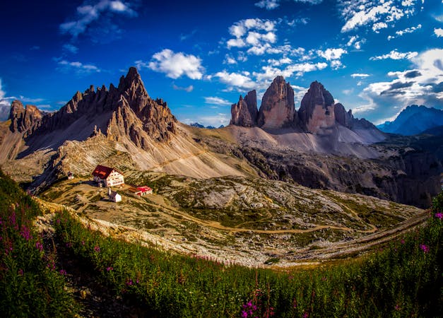
STAGE 4 - SEPT. 7 LAGAZUOI TO SCOIATTOLI
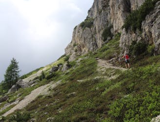
Hiking Moderate

This is a popular hiking route which is generally considered to be moderate. It's remote, it features low exposure and is typically done between July and September. From a low point of 1.7 km to the maximum altitude of 2.7 km, the route covers 12 km, 628 vertical metres of ascent and 1102 vertical metres of descent.
ALTA VIA 1 DOLOMITES
Moderate
Hiking along trails with some uneven terrain and small hills. Small rocks and roots may be present.

The path is on completely flat land and potential injury is limited to falling over.

Away from help but easily accessed.
1.3 km away
A beautifully situated peak in the heart of the Dolomites
Difficult Hiking
3 routes · Hiking
6 routes · Mountain Biking · Hiking