7.8 km away
Alta Via Dolomiti 1
The classic route of the 10 Alta Via Dolomiti high altitude trails.
Moderate Hiking
- Distance
- 112 km
- Ascent
- 6.7 km
- Descent
- 7.8 km
A challenging 100km high altitude hike across the eastern Dolomites.
Also in Bozen, Italy
Hiking Difficult

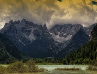
Crossing the eastern Dolomites, the Alta Via Dolomiti 3 is a tough 100km, 8-day-long high altitude hiking challenge, suitable for fit, experienced hikers only. Running from Villabassa Niederdorf south to Longarone, the trail crosses a total of 5 Dolomite ranges, all with their own unique topography. The hike starts in the Braies Dolomites, passes through The Sorapiss Group, Marmarole, Pelmo-Rite and finishes in Bosconero.
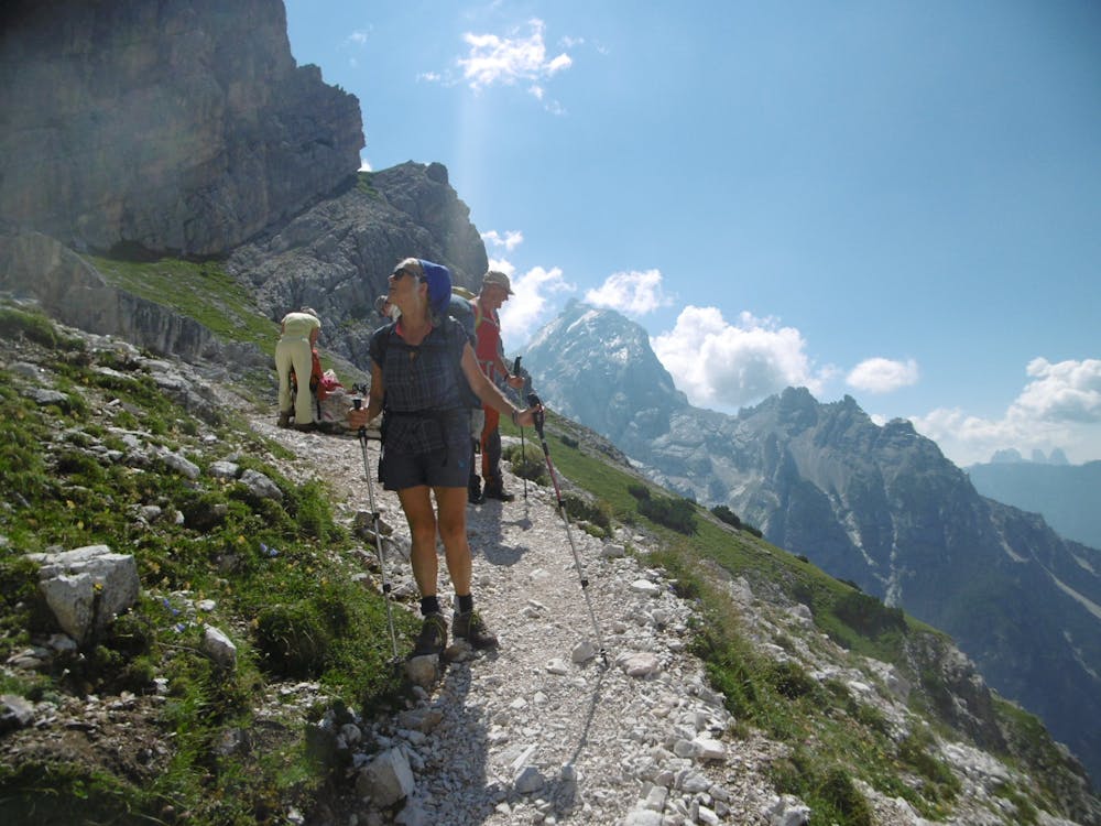
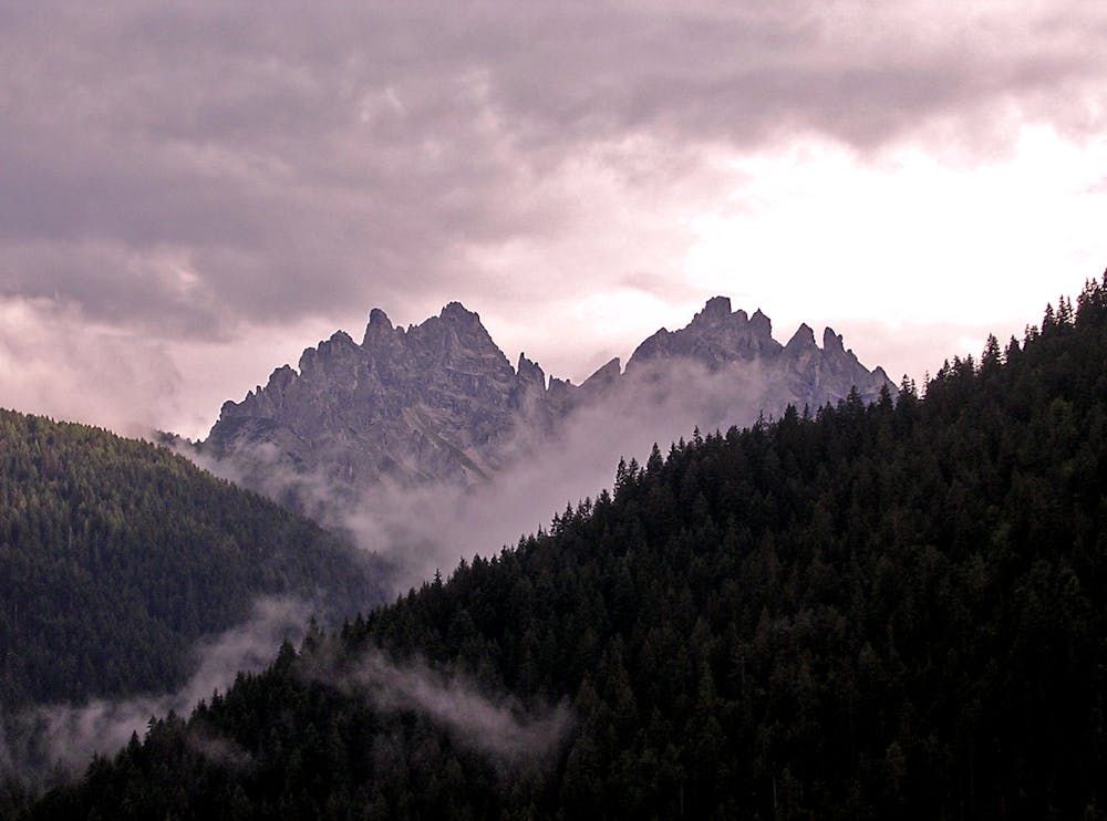
Hikers are pushed to their limits with steep climbs, intense descents, loose rocks underfoot, and of course, high altitude conditions. As well as the glistening alpine lakes, fantastic sunsets, and striking peaks, the trail also leads you through some of the Dolomites most treasured historical sites, including medieval castles and battlegrounds from WWI.
Sources
https://www.visitdolomites.com/page2/alta-via-delle-dolomiti-no-3/?lang=en
Difficult
Hiking trails where obstacles such as rocks or roots are prevalent. Some obstacles can require care to step over or around. At times, the trail can be worn and eroded. The grade of the trail is generally quite steep, and can often lead to strenuous hiking.
7.8 km away
The classic route of the 10 Alta Via Dolomiti high altitude trails.
Moderate Hiking
8.4 km away
One of the shorter yet more challenging of the 10 Alta Via Dolomiti hiking trails.
Difficult Hiking

10 routes · Hiking