6.6 km away
Alta Via Dolomiti 4
One of the shorter yet more challenging of the 10 Alta Via Dolomiti hiking trails.
Difficult Hiking
- Distance
- 72 km
- Ascent
- 4.7 km
- Descent
- 5 km
Hike the Dolomites from Sesto Pusteria to Pieve di Cadore along a tough high altitude trail.
Also in Bozen, Italy
Hiking Severe
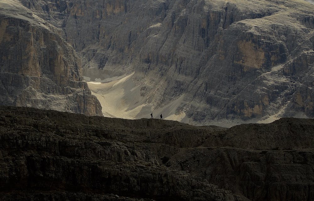
Hike, climb, and scramble across the saw-toothed peaks of the Dolomites in a 10-day high altitude adventure. Out of the 10 Alta Via Dolomiti long- distance trails, number 5 is definitely amongst the toughest. Hikers will be led off the beaten path into isolated, hard to reach pockets, where the mist falls heavily and amenities are scarce.
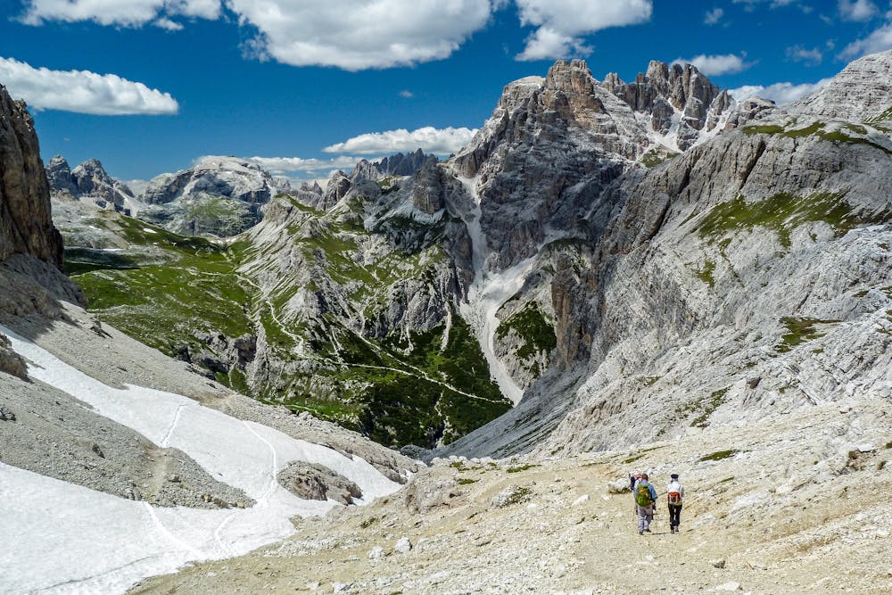
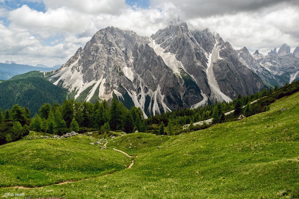
Starting with the Sesto Dolomites, you then head south and begin the physically hard and technically-challenging crossing of the Marmarole Massif. The final stretch traces the route of the Alta Via Dolomiti 4 through the Antelao group down to Pieve di Cadore in the Piave Valley. For hikers wanting to crank their adrenaline levels up a notch, there are plenty of bonus, highly-exposed climbs along the way, including Sentiero degli Alpini, the Strada Sanmarchi, the Sentiero attrezzato Adriano Cipriano, and the Via Ferrata del Cadorin.
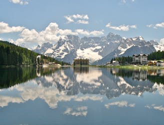
The views of the majestic mountain sunsets are so unbelievably beautiful at times, you could hear yourself say, “wow it really looks like a painting!” In fact, these very landscapes inspired the great Renaissance Venetian painter Titian, and so the Alta Via 5 is dedicated to him, known also as "The Titian High Trail." The endpoint of the hike, Pieve di Cadore, is Titian’s birthplace, where you will also find his family home, which is open to visitors. Sources https://www.visitdolomites.com/page2/alta-via-delle-dolomiti-no-5/?lang=en https://www.britannica.com/biography/Titian/Mature-life-and-works
Severe
Hiking challenging trails where simple scrambling, with the occasional use of the hands, is a distinct possibility. The trails are often filled with all manner of obstacles both small and large, and the hills are very steep. Obstacles and challenges are often unexpected and can be unpredictable.

Some trail sections have exposed ledges or steep ascents/descents where falling could cause serious injury.
Little chance of being seen or helped in case of an accident.
6.6 km away
One of the shorter yet more challenging of the 10 Alta Via Dolomiti hiking trails.
Difficult Hiking

10 routes · Hiking