7.2 km away
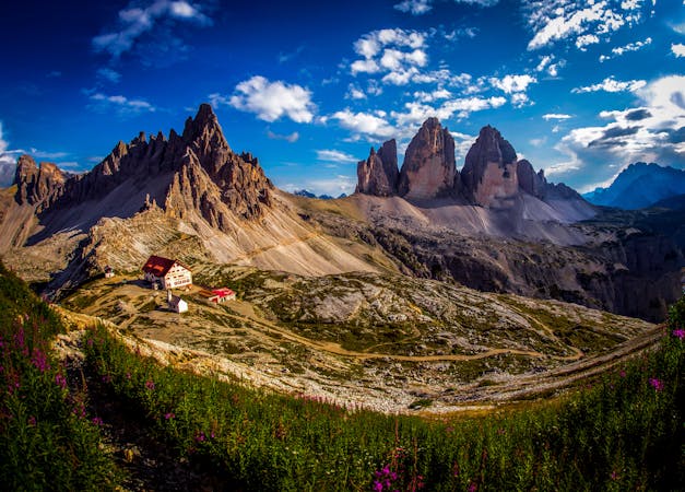
Hexenstein / Sass de Stria
A beautifully situated peak in the heart of the Dolomites
Difficult Hiking
- Distance
- 5.4 km
- Ascent
- 555 m
- Descent
- 555 m
Dolomiti - Passo Giau - Lago della Baste - Monte Corvo
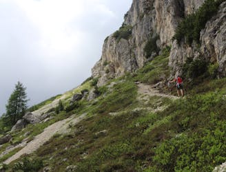
Hiking Moderate

This is a popular hiking route which is generally considered to be moderate. It's remote, it features medium exposure and is typically done between May and September. From a low point of 2.2 km to the maximum altitude of 2.4 km, the route covers 11 km, 594 vertical metres of ascent and 568 vertical metres of descent.
Dolomiti - Passo Giau - Lago della Baste - Monte Corvo
Moderate
Hiking along trails with some uneven terrain and small hills. Small rocks and roots may be present.

The trail contains some obstacles such as outcroppings and rock which could cause injury.
Away from help but easily accessed.
7.2 km away
A beautifully situated peak in the heart of the Dolomites
Difficult Hiking
3 routes · Hiking
6 routes · Mountain Biking · Hiking