7 routes · Hiking
A panoramic circular hike starting and ending in the centre of Cortina, going up Monte Faloria, and down through the Val Orita valley
Hiking Moderate

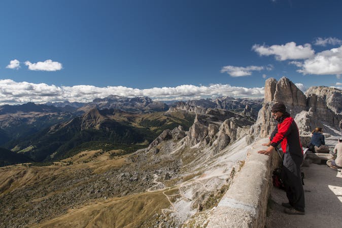
Take the cable car from the centre of Cortina to the mountain lodge Rifugio Faloria. From here you have views from high up, over the whole Ampezzo valley, with perfect vistas onto the Tofane mountains, whose skiing slopes are used for World Cup events, and onto mount Pomagagnon and the Three Peaks, Tre Cime di Lavaredo. From the mountain lodge, take the bridleway marked as track n° 213 uphill towards Rifugio Capanna Tondi, to the intersection with track n° 214, near the mountain lodge Capanna Tondi. From here there are fine views over the entire Ampezzo valley, in addition to the peaks Punta Nera and Sorapis, and Val Orita seen from above. This valley, familiar to Paul Grohmann, is strewn with screes and rocky detritus, and it is located at the foot of Croda Rota, part of the Sorapis mountain group. In winter it offers a fantastic descent for freeride enthusiasts. According to legend, this area is inhabited by the god Silvanus, the Faloria paintress, the twenty-seven little Ranpognei elves, and other creatures living in the surrounding forests. At the intersection, take track n° 214 which leads you downhill through the valley Val Orita, along a lonely path amidst mountain pines, with unexpected views and the chance to see some wild animals. At the end of the valley, the track enters the forest, and soon you will reach Baita Fraina walking along an easy bridleway. From Baita Fraina you can go down through the village of Cojana until you reach the footpath along the disused railway, which takes you into the town centre in just over half an hour.
Moderate
Hiking along trails with some uneven terrain and small hills. Small rocks and roots may be present.

The trail contains some obstacles such as outcroppings and rock which could cause injury.

Close to help in case of emergency.
7 routes · Hiking