7 routes · Hiking
This easy walk with a minimal vertical distance is ideal for all, and provides unexpected views over Cortina’s grasslands and peaks.
Hiking Easy

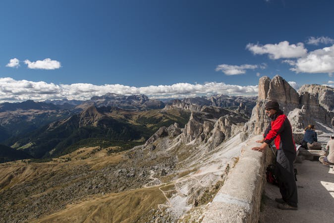
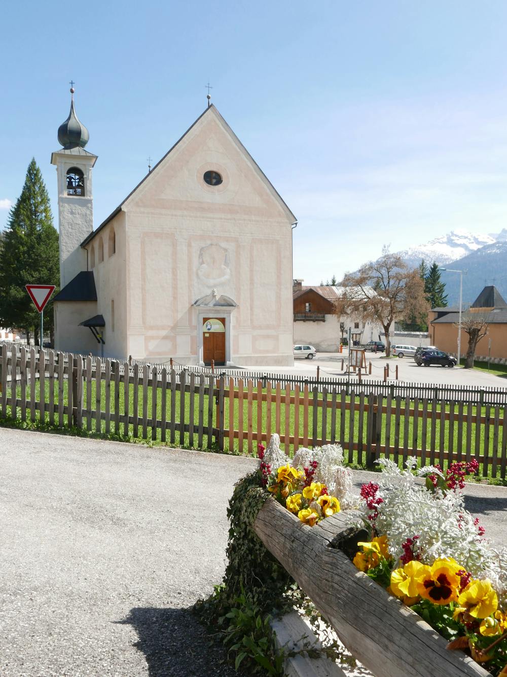
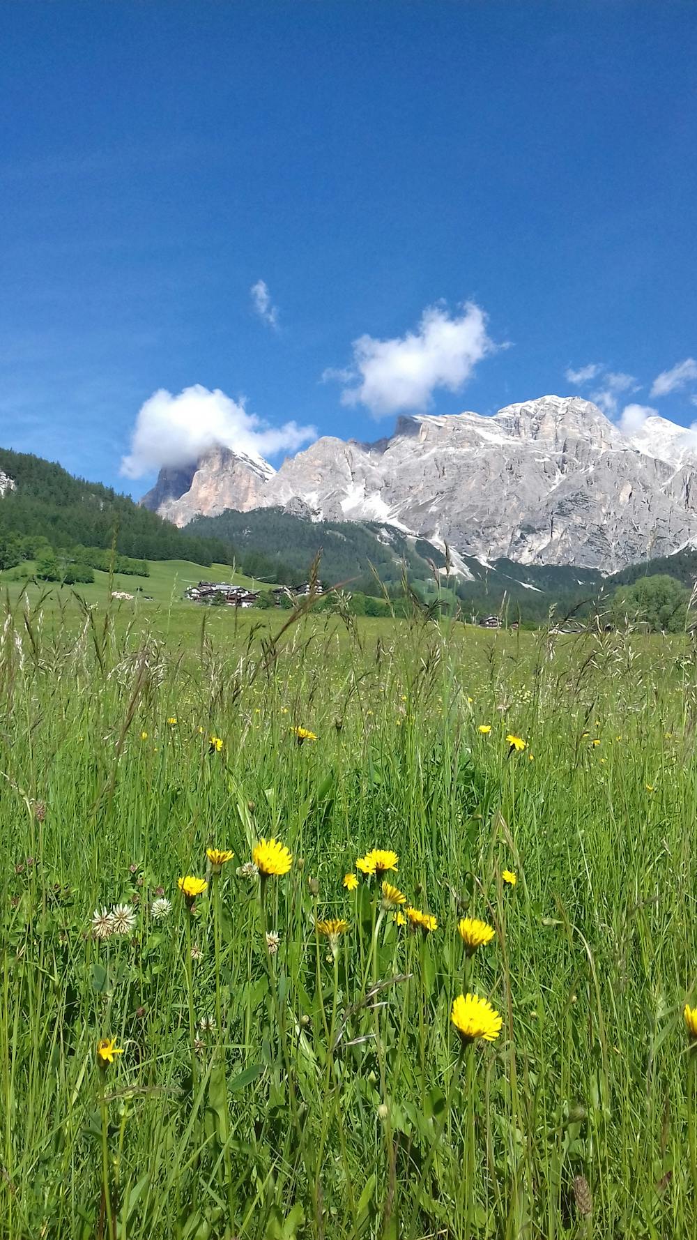
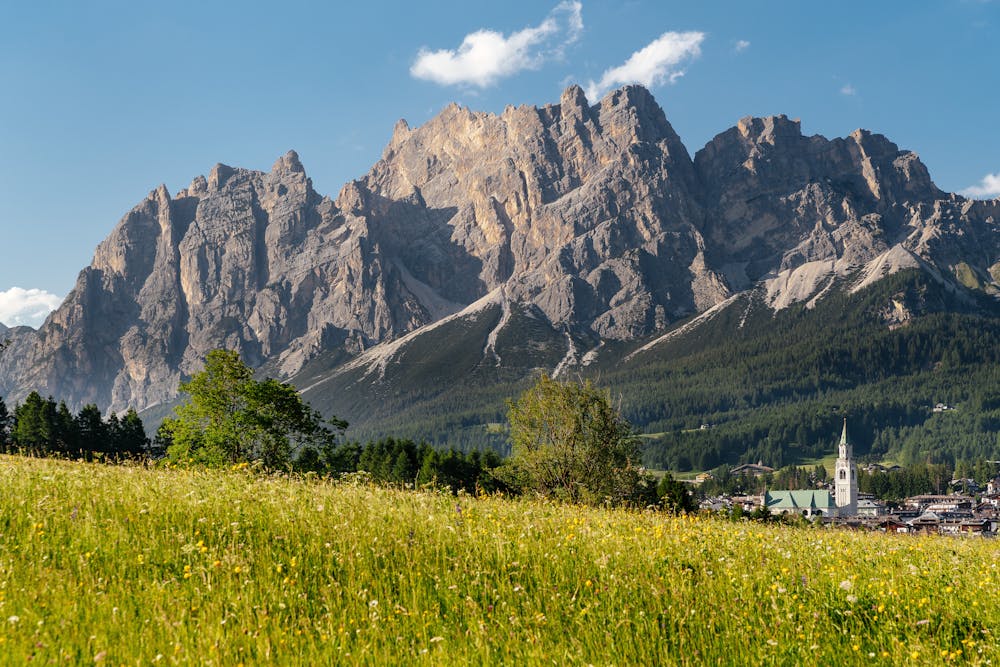
From the car park on Via del Parco, take the asphalt road that runs downhill towards the bed of the river Boite. Leave the last houses of Cortina behind, cross the bridge and continue along the easy rough track that runs across a lovely meadow that offers a 360° view over Cortina, which can be enjoyed from one of the benches along the track. Behind you is the bell tower and the Pomagagnon mountain group; you will have the Tofane mountains on your right, Becco di Mezzodì in front of you, and Sorapis, Faloria and Cristallo on your left. The track starts to run downhill until you reach the first houses of Campo, one of Cortina’s historic outlying hamlets. Continue along the road, which is very quiet, enjoying the view of the traditional houses and taking a look at the Campo church, small but important. It was built in the 18th century, it has a 16th-century altar, and its bell is from Botestagno Castle, which guarded the valley from the north.
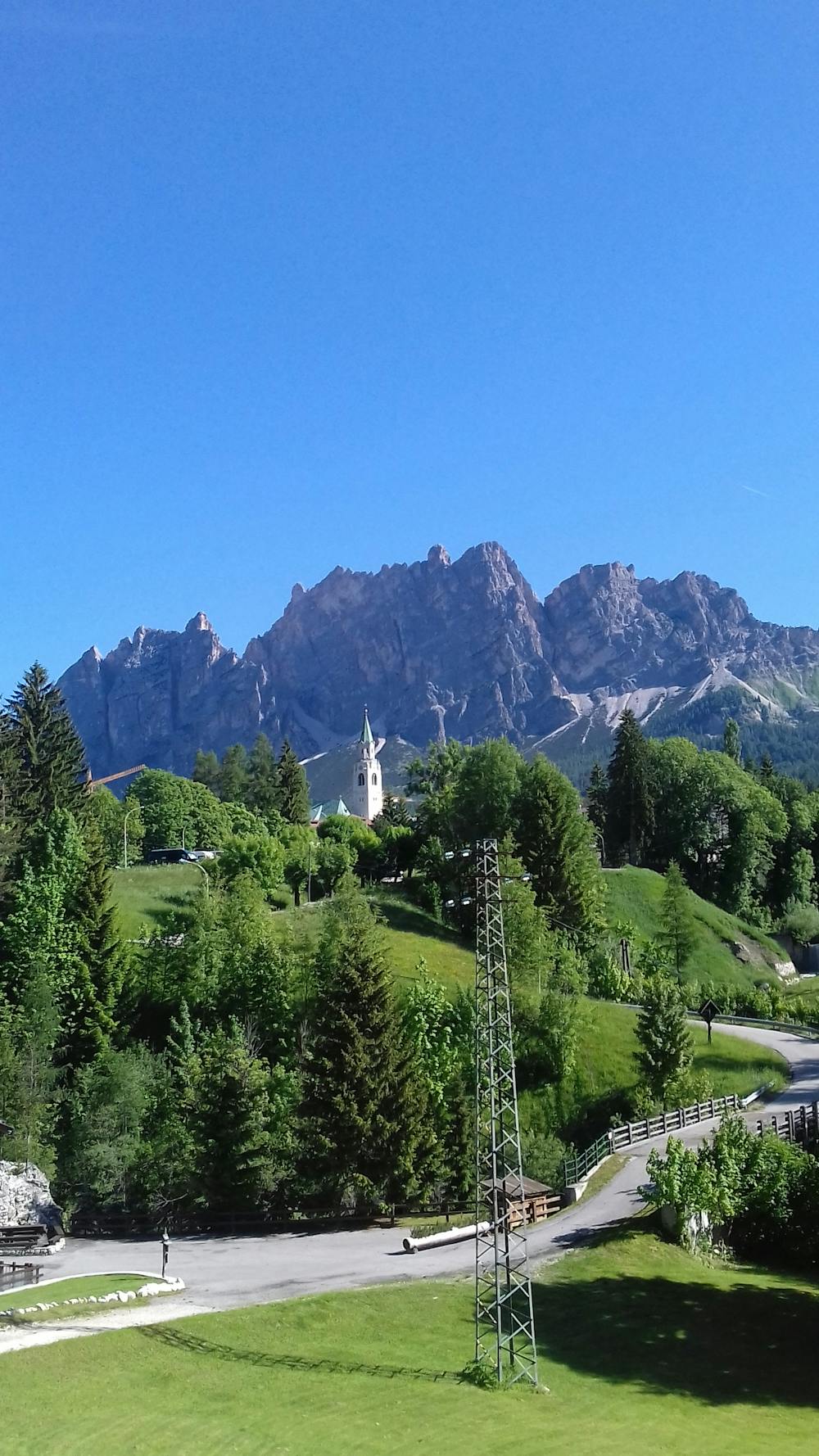
Carry on along the tarmac road, turn left and walk through the small hamlet Salieto until you reach a crossroads. Keep left and follow Via delle Guide until you cross the small bridge over the river Bigontina and reach the church Chiesa della Madonna della Difesa. This church is also worth a visit: in its current form it dates back to 1750, but it was first built in the 15th century as a tribute to the Madonna for the victory against the soldiers of Sigismund of Luxembourg, who greatly outnumbered the men defending the Ampezzo valley. Continue along the road which runs alongside the cemetery and brings you back to the starting point in a couple of minutes.
By car - The car park is close to the town centre, near the gym Palestra Revis, the cemetery and the church Chiesa della Difesa. Alternatively, you can park at Palestra Revis or at another car park near the town centre, and walk to the starting point.
By bus - Take a bus to Piazza Roma, and from there you can reach the starting point in a few minutes, by taking Via Difesa and Via del Parco.
Easy
Walking along a well-kept trail that’s mostly flat. No obstacles are present.

The path is on completely flat land and potential injury is limited to falling over.
Close to help in case of emergency.
7 routes · Hiking