Ski mountaineering to Rifugio Scotter
San Vito di Cadore
A pleasant trip further afield for the discovery of the natural setting and some healthy physical exercise.
Ski Touring Moderate
- Distance
- 6.4 km
- Ascent
- 432 m
- Descent
- 432 m
- Duration
- 2-3 hrs
- Low Point
- 1.1 km
- High Point
- 1.6 km
- Gradient
- 19˚

A pleasant trip further afield for the discovery of the natural setting and some healthy physical exercise.
Description
From the mountain restaurant Baita Sun Bar, on the San Vito di Cadore skiing pistes, take the prepared track on the left of the snowcat shed. Follow this track and cross the river Rusecco. (Take care: the stream could be frozen).
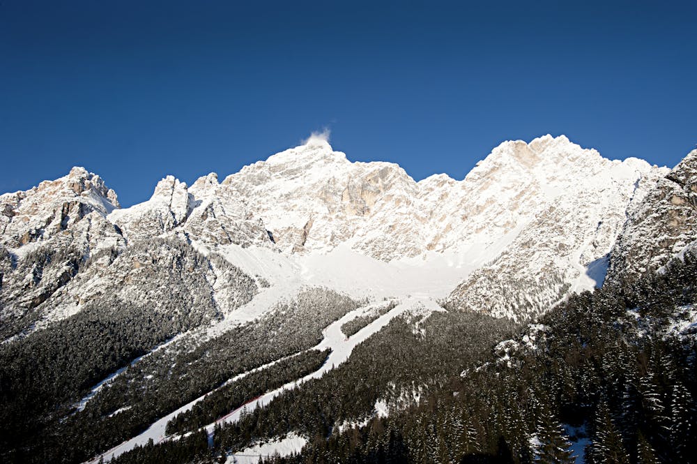
From here, carry on along the firebreak road through the middle of the forest until you reach the mountain hut Rifugio Scotter, after about 1-2 hours. From the hut you will have a wonderful view of the majestic mounts Pelmo and Antelao.
For the return trip, you can ski down the same route or down the ski slopes.
The time is for the entire itinerary.
HOW TO REACH THE STARTING POINT From Cortina d’Ampezzo, take the road towards San Vito di Cadore-Venice. After you have reached San Vito, turn left just before reaching the village church. From here, follow the signs to reach the ski lifts parking area. The route starts next to the hotel “Il Cardo”.
Difficulty
Moderate
Slopes become slightly steeper at around 25-30 degrees.
Low Exposure (E1)

Exposure is limited to that of the slope itself. Getting hurt is still likely if the slope is steep and/or the snow is hard.
Remoteness
Close to help in case of emergency.
Features
- Single Descent
Equipment required
- Skins