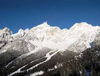
Ski mountaineering to Rifugio Scotter
A pleasant trip further afield for the discovery of the natural setting and some healthy physical exercise.
Moderate Ski Touring
- Distance
- 6.4 km
- Ascent
- 432 m
- Descent
- 432 m

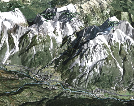
Explore San Vito di Cadore with curated guides of the best routes. With over 4 3D trail maps in FATMAP, you can easily discover and navigate the best trails in San Vito di Cadore.
No matter what your next adventure has in store, you can find a guide on FATMAP to help you plan your next epic trip.
Get a top trail recommendation in San Vito di Cadore, or get inspired by the 4 local adventures uploaded by the FATMAP community. Start exploring now!
A pleasant trip further afield for the discovery of the natural setting and some healthy physical exercise.
Moderate Ski Touring

A pleasant trip further afield for the discovery of the natural setting and some healthy physical exercise.
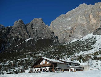
Moderate Snow Shoeing

Black pista
Severe Freeride Skiing
Una panoramica ciaspolata al cospetto dell' Antelao, seconda montagna più alta delle Dolomiti
Moderate Snow Shoeing