Cortina Pocol Ossario (Trail Running)
Cortina d'Ampezzo
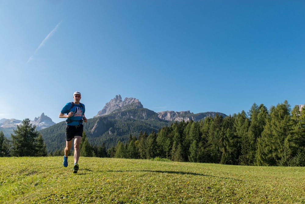
An incredible Trail Running route set in Cortina d’Ampezzo’s history and nature, from the Pocol Military Sacrarium to the Belvedere, revealing the Ampezzo Valley’s innumerable facets. The trail is located to the north-west of Cortina, in the Tofane mountains area.
Trail Running Easy
- Distance
- 6.6 km
- Ascent
- 418 m
- Descent
- 419 m
- Duration
- 1-2 hrs
- Low Point
- 1.2 km
- High Point
- 1.6 km
- Gradient
- 13˚

An incredible Trail Running route set in Cortina d’Ampezzo’s history and nature, from the Pocol Military Sacrarium to the Belvedere, revealing the Ampezzo Valley’s innumerable facets. The trail is located to the north-west of Cortina, in the Tofane mountains area.
Description
Starting from the centre, head towards the Lungo Boite bridge and cross it. Then turn left, and before the car park, take the road running upwards on the right. Head uphill and through the village of Crignes. When the road forks, take the right-hand road and continue uphill towards the hamlet Meleres: these are villages that have remained almost intact, where you can admire the Ampezzo Valley architecture and imagine what life was like in the past. Once you have gone through the village, cross the road Strada Statale 48 and enter the village of Lacedel, heading towards the skiing pistes that are situated right behind the houses. On the right you will see the Socrepes Baby chairlift, and on the left, track n° 403 which you should take.
In the forest, stay on the track that will take you alongside the Pocol area, and you will be able to observe what at a different time of year is one of Cortina’s most famous locations: the Tofane skiing pistes. For most of the time, the route runs through the forest, with some gentle uphill stretches, but as soon as you have arrived in the Pocol Sacrarium area, dedicated to the fallen of the First World War, take track n° 429 on the left. The Military Sacrarium houses the remains of the war victims that had previously lain in the various War Cemeteries throughout the Valley, including those of General Antonio Cantore and Lieutenant Francesco Barbieri.
The route will take you past the Ossuary and the Belvedere, on a downhill track set in the forest that heads towards the centre of Cortina. There is a temporary interruption in the route when you meet the state road Strada Statale 48, but after going up this road for a short distance and reaching the viewpoint, take the track once again.
Track n° 429 merges smoothly into n° 428, and this brings you to Mortisa, from where you go downhill towards the centre of Cortina.
Difficulty
Easy
Medium Exposure

The trail contains some obstacles such as outcroppings and rock which could cause injury.
Remoteness

Close to help in case of emergency.