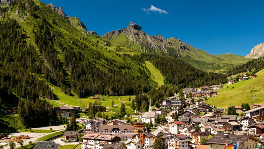
502 routes · Hiking · Ski Touring · Mountain Biking · Freeride Skiing · Alpine Climbing · Trail Running

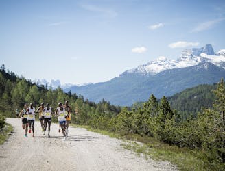
Go trail running in Belluno with curated guides of the best trail runs across the region. With over 281 3D trail maps in FATMAP, you can easily discover and navigate the best trails in Belluno.
No matter what your next adventure has in store, you can find a guide on FATMAP to help you plan your next epic trip.
Get a top trail running recommendation in Belluno from one of our 18 guidebooks, or get inspired by the 281 local adventures uploaded by the FATMAP community. Start exploring now!
502 routes · Hiking · Ski Touring · Mountain Biking · Freeride Skiing · Alpine Climbing · Trail Running
228 routes · Hiking · Ski Touring · Mountain Biking · Freeride Skiing · Trail Running · Alpine Climbing
90 routes · Mountain Biking · Hiking · Ski Touring · Alpine Climbing
29 routes · Mountain Biking · Hiking · Ski Touring
21 routes · Mountain Biking
11 routes · Mountain Biking

www.runskitirol.com/trails/sass-dlacia-to-cortina
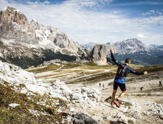
Moderate Trail Running

Percorso religioso tra la natura che parte di fronte alla chiesetta di Canale d'Agordo e raggiunge il sentiero per Falcade.
Easy Trail Running
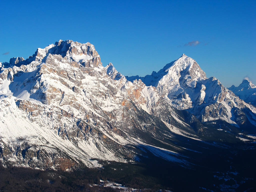
A 22.9 km ring route in the heart of the Ampezzo Dolomites.
Moderate Trail Running

Giro ad anello antiorario
Difficult Trail Running

Nuvolau Loop da P.Giau
Moderate Trail Running
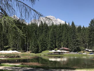
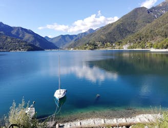
The Lake Pianozes route is one of Cortina’s most popular locations, offering unexpected views and breath-taking emotions, not far from the centre of the Queen of the Dolomites
Easy Trail Running
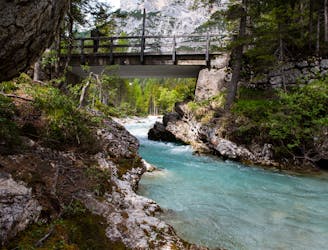
The Pian de Ra Spines route runs alongside both banks of the river Boite, offering many viewpoints along its course.
Easy Trail Running
A Trail Running route that follows the disused railway, between Cortina and Dobbiaco, amidst forests and lakes.
Easy Trail Running