2.4 km away
Alta Via 2 - Rifugio Boe to Rifugio Viel dal Pan
A good day of hiking with an incredible viewpoint!
Severe Hiking
- Distance
- 7.9 km
- Ascent
- 418 m
- Descent
- 860 m

A shorter day for those heading to Rifugio Boe and Piz Boe summit. A mega day for those wanting some vertical action!
Also in Trento, Italy
Hiking Extreme

Starting Location: Rifugio Pisciadu Ending Location: Rifugio Boe Optional Routes: (A) Cima Pisciadu summit (2,985m), (B) Path 638 for easy Piz Boe summit Regional Map: Tabacco Map 07 Path Numbers: 666, 649, 627, 626 (access to via ferrata), 638 Places to eat/drink on route: Grab supplies from Rif. Boe or Pordoi if continuing to Piz Boe summit or via ferrata
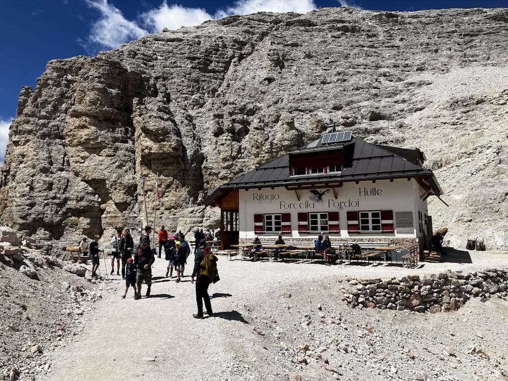
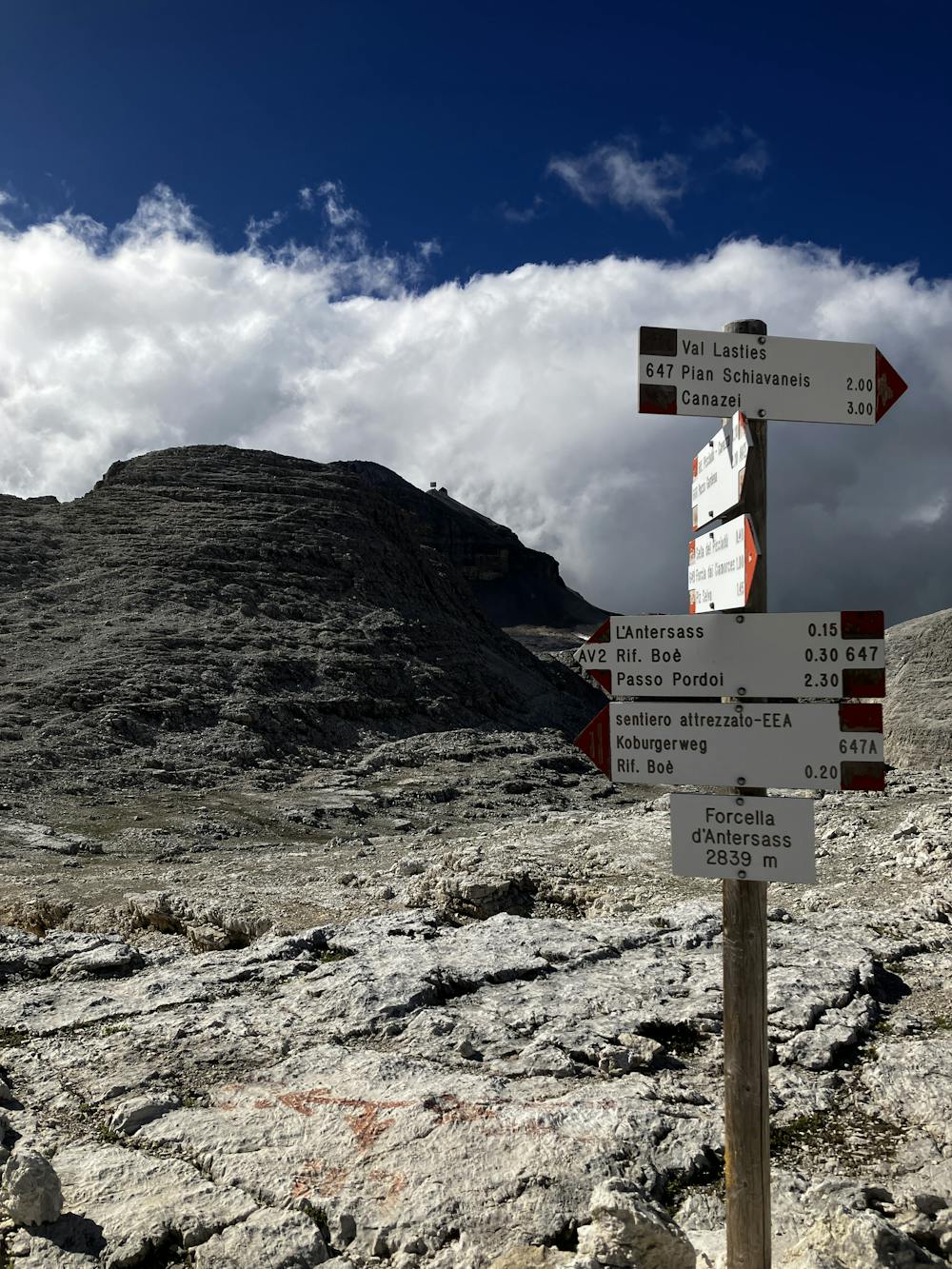
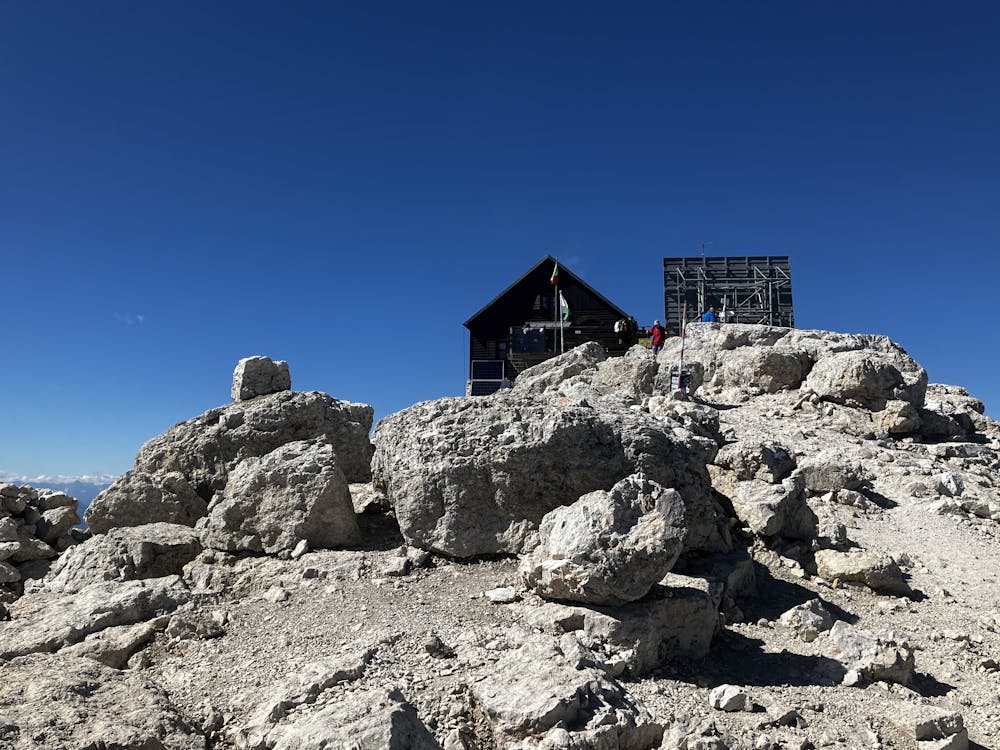
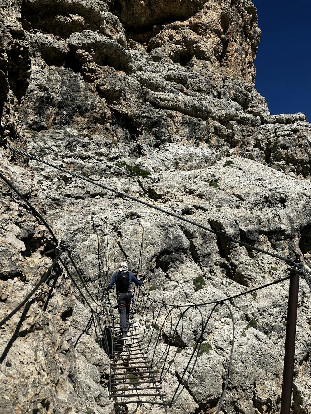
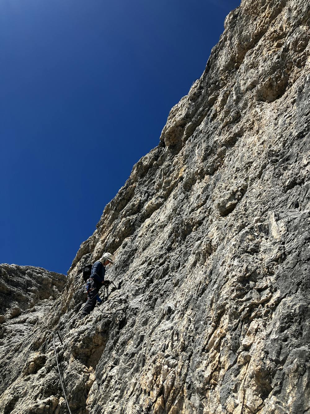
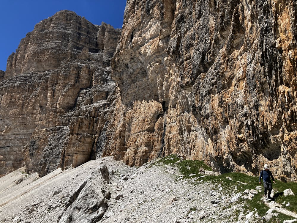
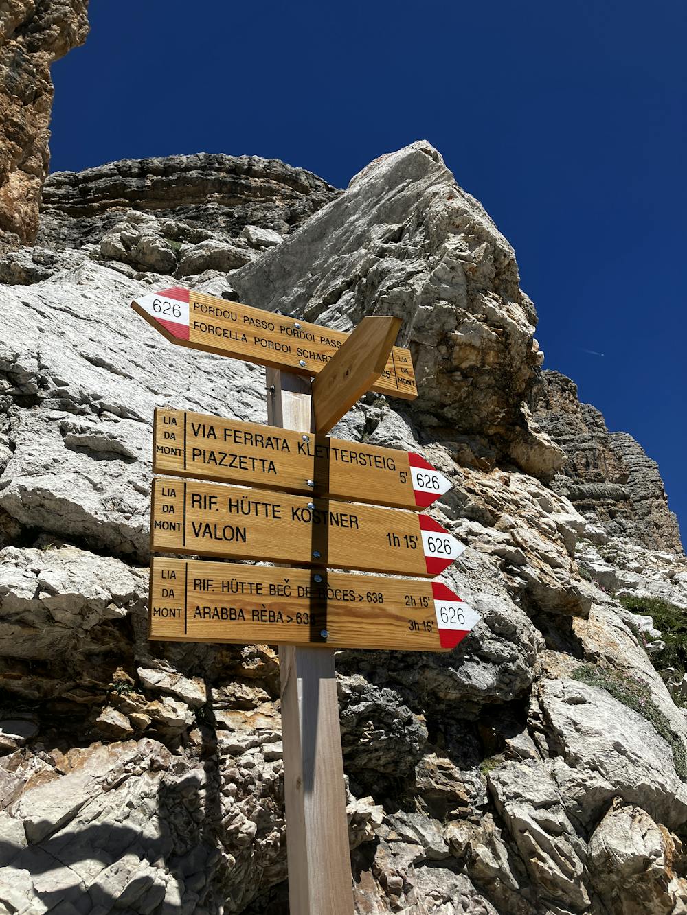
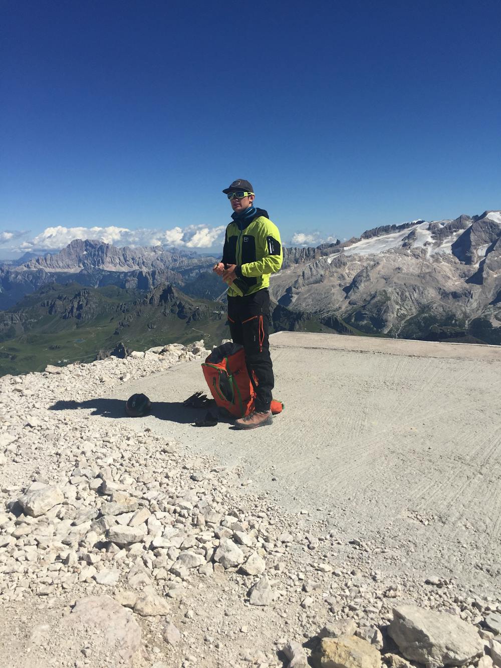
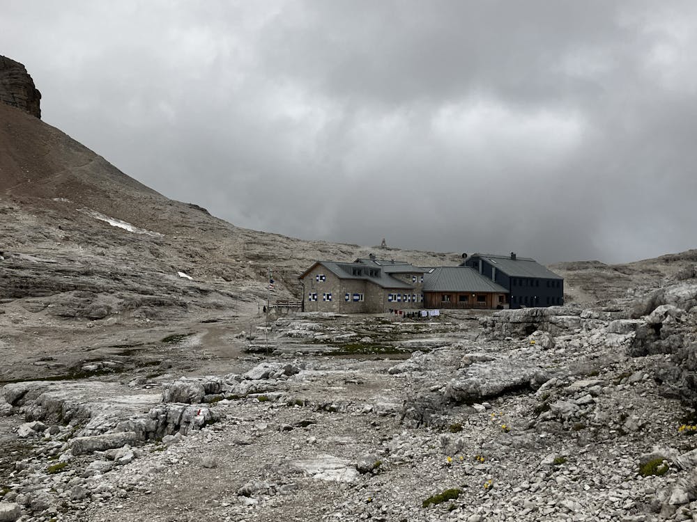
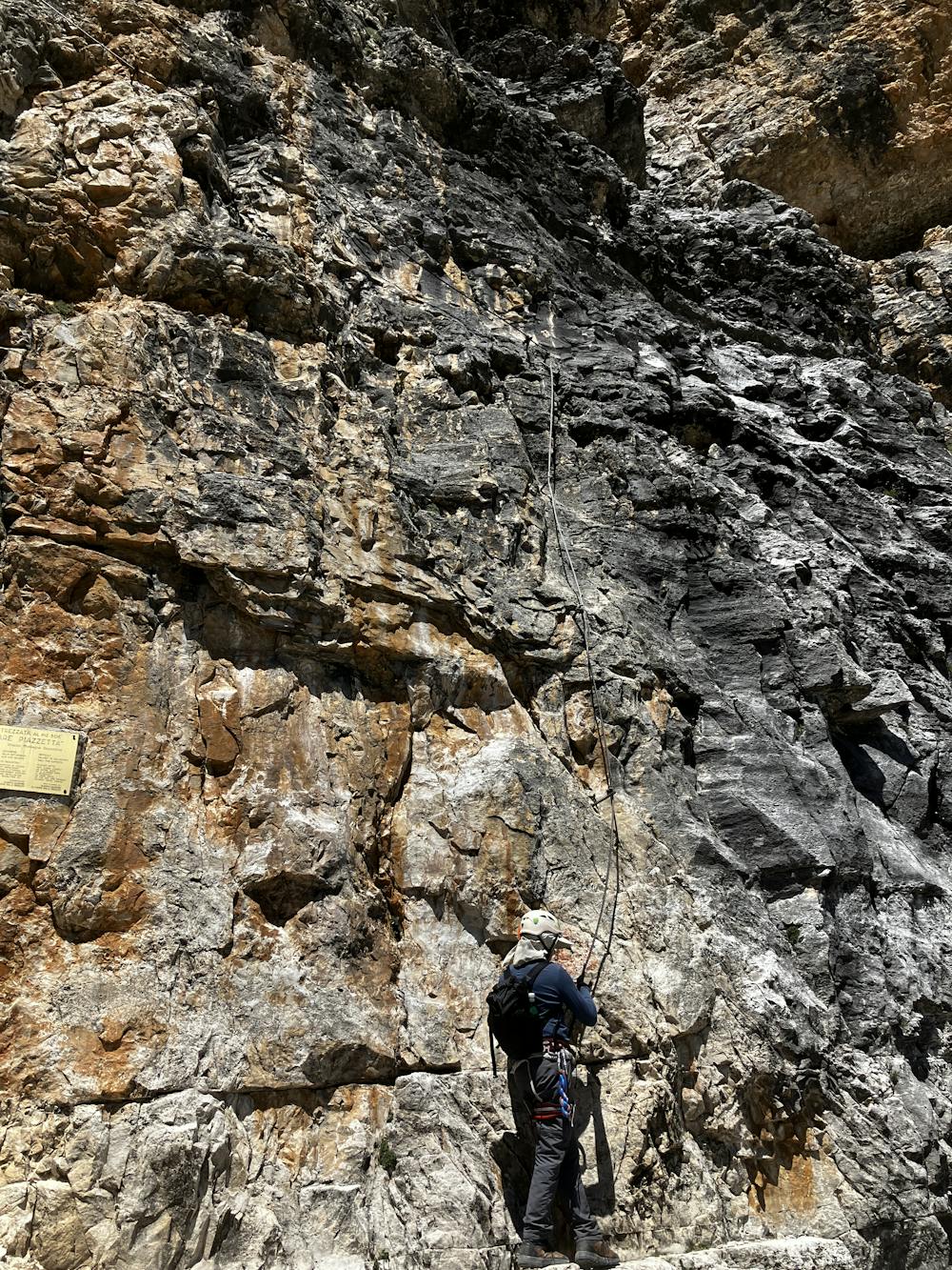

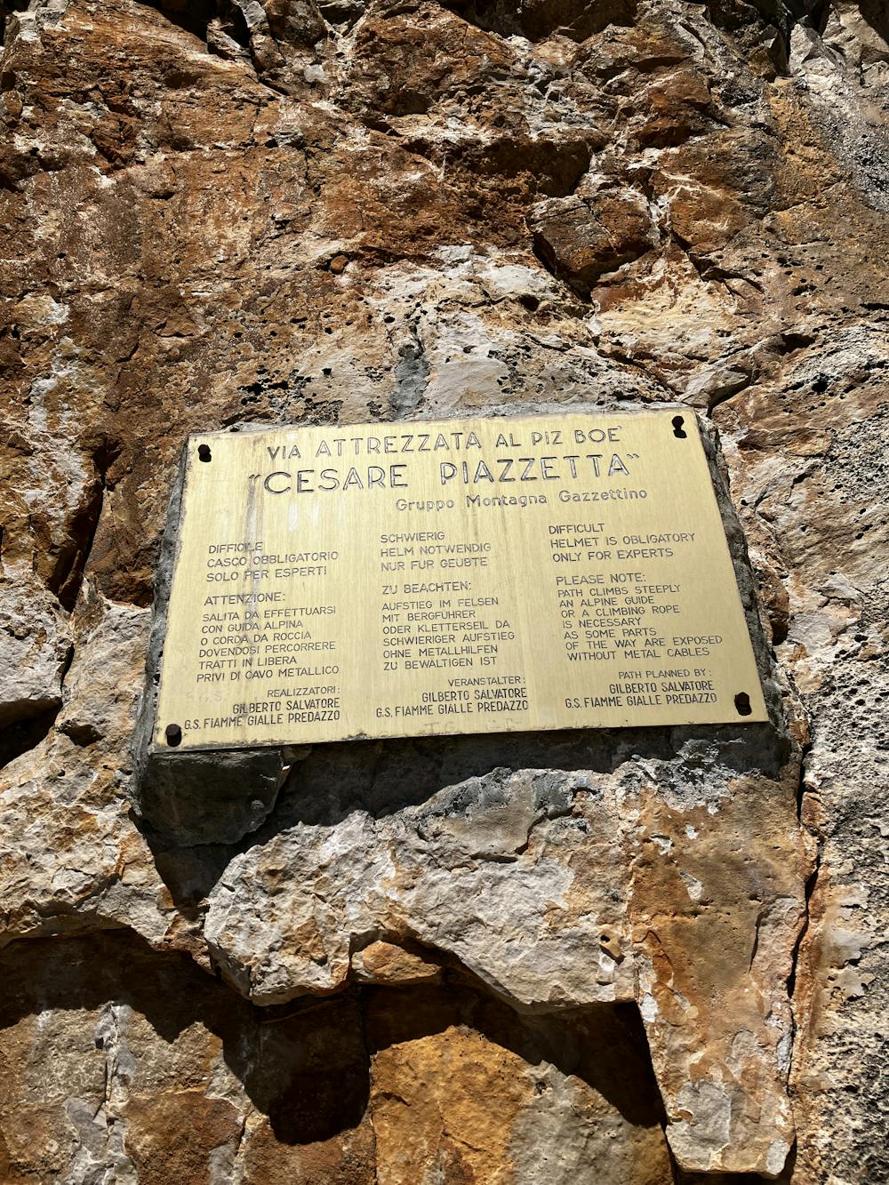
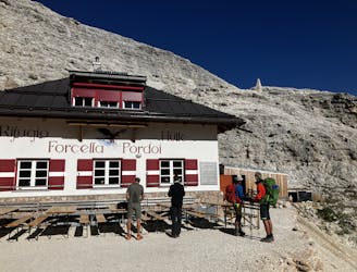
5.2km is all that separates Rifugio Pisciadu from Rifugio Boe, making this one of the official shorter days on the AV2. However, for those seeking further adventure within their day read on.
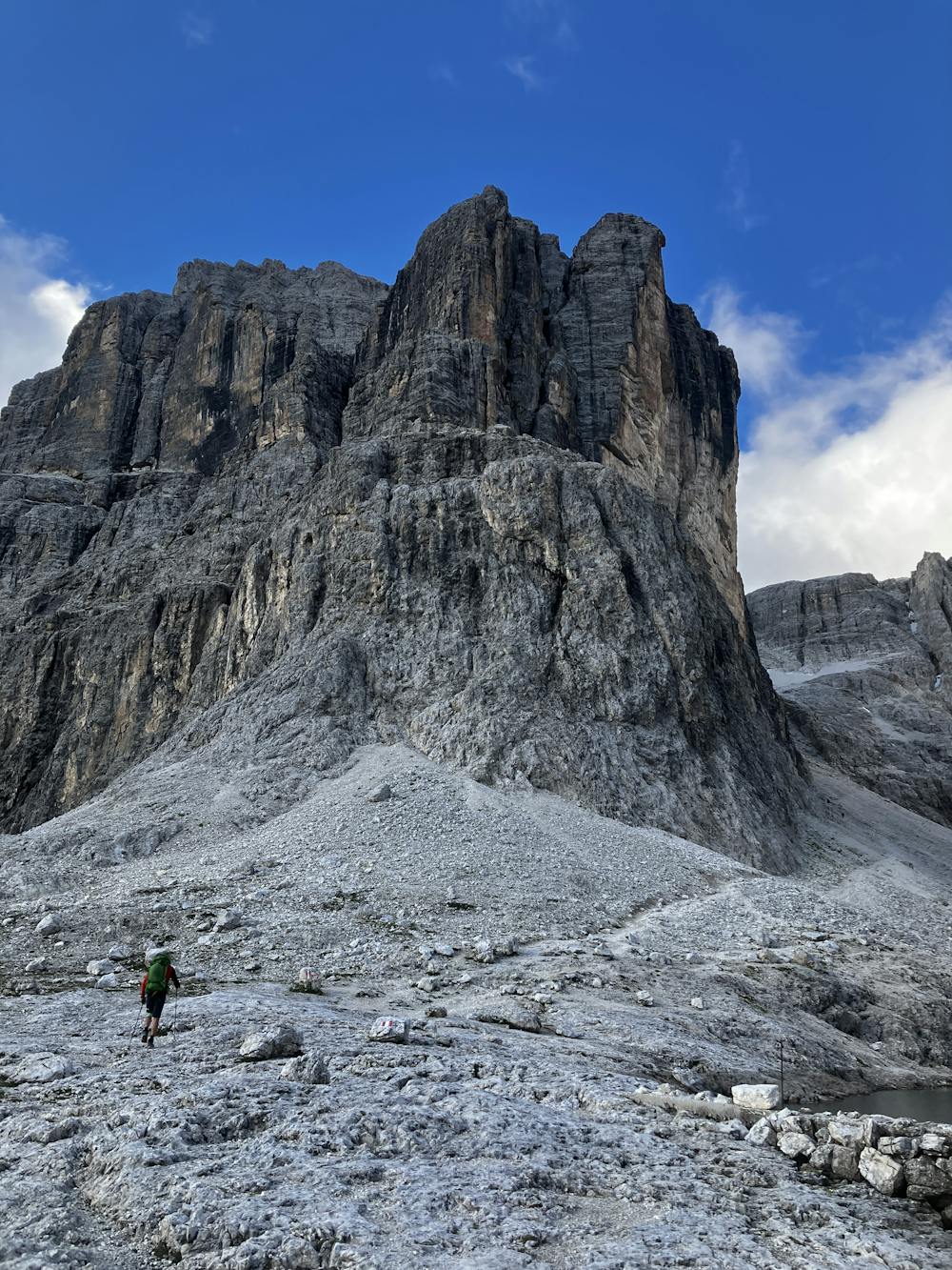
Set off from Rifugio Pisciadu following path 666 that climbs the western side of Cima Pisciadu. Further up, the trail becomes steeper with some short sections of cable-aided terrain. Climb up this to enter the valley and look up to Cima Pisciadu on your left.
Optional Route (A) – Cima Pisciadu summit. A roughly 90-minute round trip from the start of the climb will see you on the summit and back down. My personal advice, skip this to have more time doing better adventures later on but the option is there.
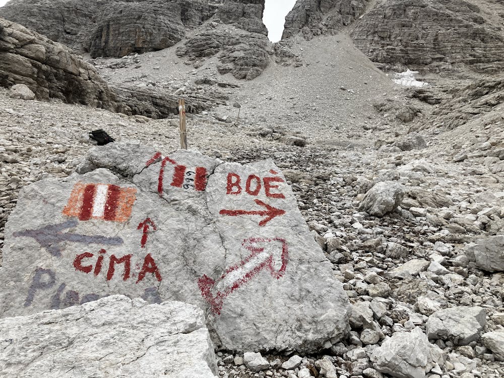
Continue climbing through this lunar like landscape following path 666 that eventually merges into path 649. Watch out for summer rain showers as they can creep up on you with speed in this terrain. Drop down off the plateau and follow signs for Rifugio Boe. If you so wish to end your day now, enjoy the modern and beautifully created rifugio situated in this wild region. The family that run this rifugio are very friendly and full of knowledge on the area so tap into that when they have time to talk. If you’re hungry for more adventures, read on.
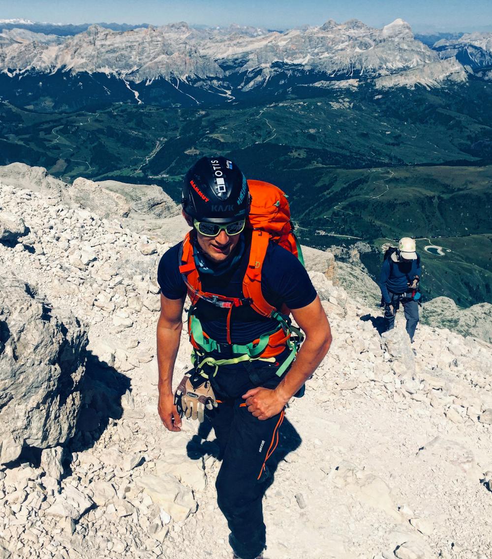
Piz Boe standing at 3,152m is the highest mountain in the Sella Group. Its pyramid summit allows for incredible 360-degree views that truly make a highlight of the AV2. The summit can be tackled via multiple routes and this guide will discuss two options. One; a gnarly, vertical via ferrata that was dubbed by a IFMGA mountain guide as the second hardest via ferrata in the Dolomites, and the other; a casual 30-minute stroll to the peak.
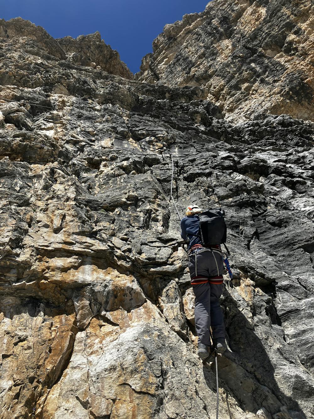
The via ferrata is called Cesare Piazetta and is graded as ‘extreme’. The GPX file follows this route. To attempt this via ferrata you need to have climbing experience as well as be physically fit for at times it gets spicy. If you are staying the night at Rifugio Boe, a suggestion would be to leave any unnecessary kit behind and travel light. To reach the start of the Cesare Piazetta, leave Rifugio Boe heading south on path 627 towards Rifugio Pordoi as you fight your way through the crowds of tourists. Descend past Rifugio Pordoi on 627 to eventually turn left onto path 626. Follow the GPX file as you don’t want to miss the turn. A long traverse heading east exposes you to the sort of terrain you will be ascending vertically on the via ferrata. You are entering real Dolomiti terrain now and those hordes of lunchtime tourists you saw at Rif. Boe and Pordoi have now very quickly disappeared. Get to the start of the via ferrata and look up. For those with the skills, it’s a fantastic climb. For those without, I’d suggest turning around as it’s not the place to start learning how to via ferrata. The first 150 metres is practically vertical with areas of smooth rock texture and limited foot/handholds. For more information on the Cesare Piazetta via ferrata, visit this link:
https://www.ferrate365.it/en/vie-ferrate/ferrata-cesare-piazzetta-piz-boe/
If completed, it allows for an excellent top out to one of the Dolomites finest peaks and a much quieter route up.
Optional Route (B) – For those not interested in extreme via ferrata’s, follow path 638 from Rifugio Boe to ascend an easy climb (with some basic aided sections) to summit on Piz Boe.
As of July 2022, a one-way system is in place for ascending and descending Piz Boe via this route so pay attention and follow signs. Finish the day at the modern Rifugio Boe and enjoy a well-earned sleep!
Rifugio Boe https://www.rifugioboe.it/?lang=en
This hike and guide were completed during summer weather conditions. This is just one opinion of this route. Make sure to do your own research by consulting internet resources, mountain guides or guidebooks to evaluate other opinions so you can be best prepared for the terrain.
A Guide by Red
Extreme
Scrambling up mountains and along technical trails with moderate fall exposure. Handholds are necessary to navigate the trail in its entirety, although they are not necessary at all times. Some obstacles can be very large and difficult to navigate, and the grades can often be near-vertical. The challenge of the trail and the steepness of the grade results in very strenuous hiking. Hikes of this difficulty blur the lines between "hiking" and "climbing".
2.4 km away

A good day of hiking with an incredible viewpoint!
Severe Hiking
6 km away
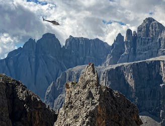
One of the best viewpoints in the Dolomites with a fantastic via ferrata to go with it!
Extreme Hiking
7 km away
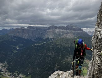
A big day for those chasing another vertical via ferrata!
Extreme Hiking
11 routes · Hiking