2.5 km away
Alta Via 2 - Brixen / Bressanone to Rifugio Genova
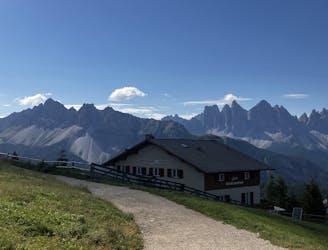
The first day of the legendary AV2!
Severe Hiking
- Distance
- 15 km
- Ascent
- 778 m
- Descent
- 515 m
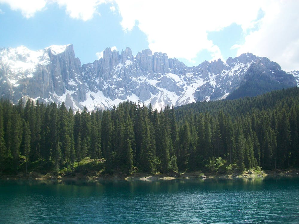
Cross the Dolomites by foot from Brixen to Salurn along the “High Trail of Heroes."
Hiking Difficult

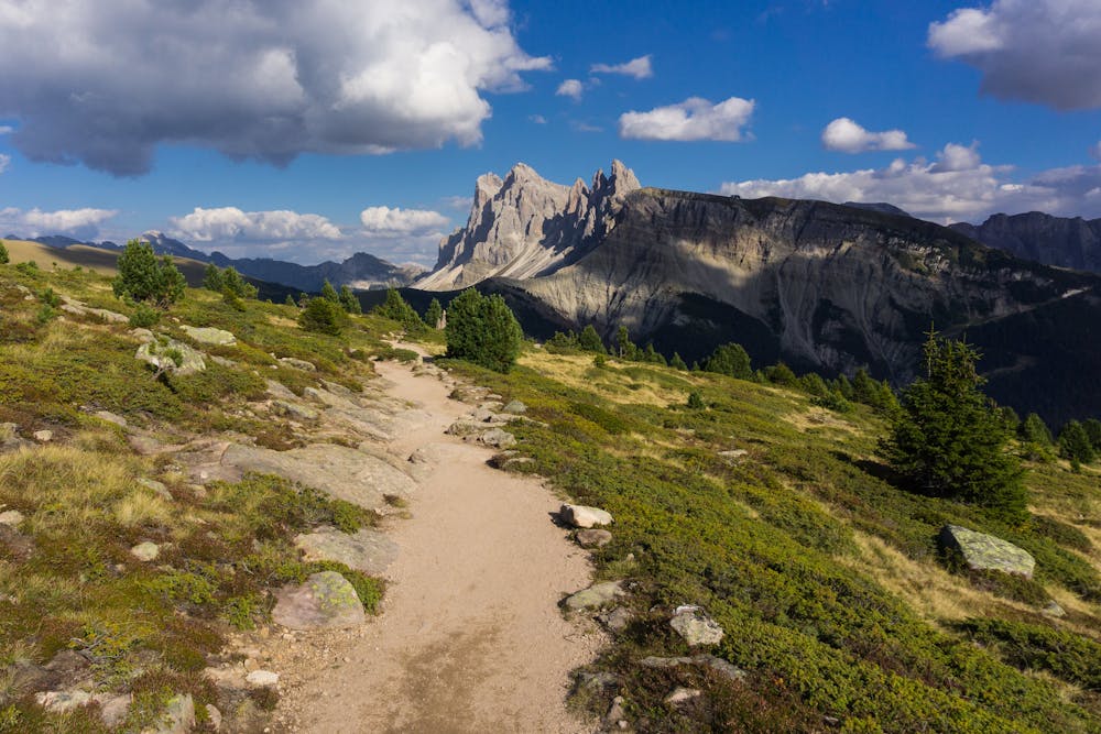
The Alta Via Dolomiti 8 is also known as the “Alta Via of the Heroes” because it traces the paths of Alpini soldiers, crosses former battlegrounds and passes relics from the First World War. As well as a journey of historical discovery, the Alta Via 8 is also a trail through enchanting, remote landscapes. It crosses the magnificent Grappa Massif and three Veneto provinces: Belluno, Treviso and Vicenza. The toughest section comes between Karer Pass up to the Rifugio di Pisa, but on the whole the route is a lot less technically challenging than many of the other Alta Via’s. Sources http://www.infodolomiti.it/en/active-holiday/alpine-paths-of-the-dolomites/alpine-path-of-the-dolomites-no-8/7158-l2.html
Difficult
Hiking trails where obstacles such as rocks or roots are prevalent. Some obstacles can require care to step over or around. At times, the trail can be worn and eroded. The grade of the trail is generally quite steep, and can often lead to strenuous hiking.

The trail contains some obstacles such as outcroppings and rock which could cause injury.
Away from help but easily accessed.
2.5 km away
The first day of the legendary AV2!
Severe Hiking
2.5 km away
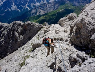
The strenuous “Way of the Legends” high altitude hiking trail across the Dolomites.
Difficult Hiking

10 routes · Hiking

11 routes · Hiking