180 m away
Alta Via Dolomiti 2
The strenuous “Way of the Legends” high altitude hiking trail across the Dolomites.
Difficult Hiking
- Distance
- 169 km
- Ascent
- 8.2 km
- Descent
- 10 km
The first day of the legendary AV2!
Hiking Severe

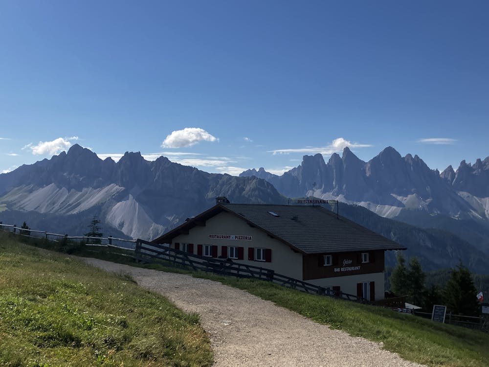
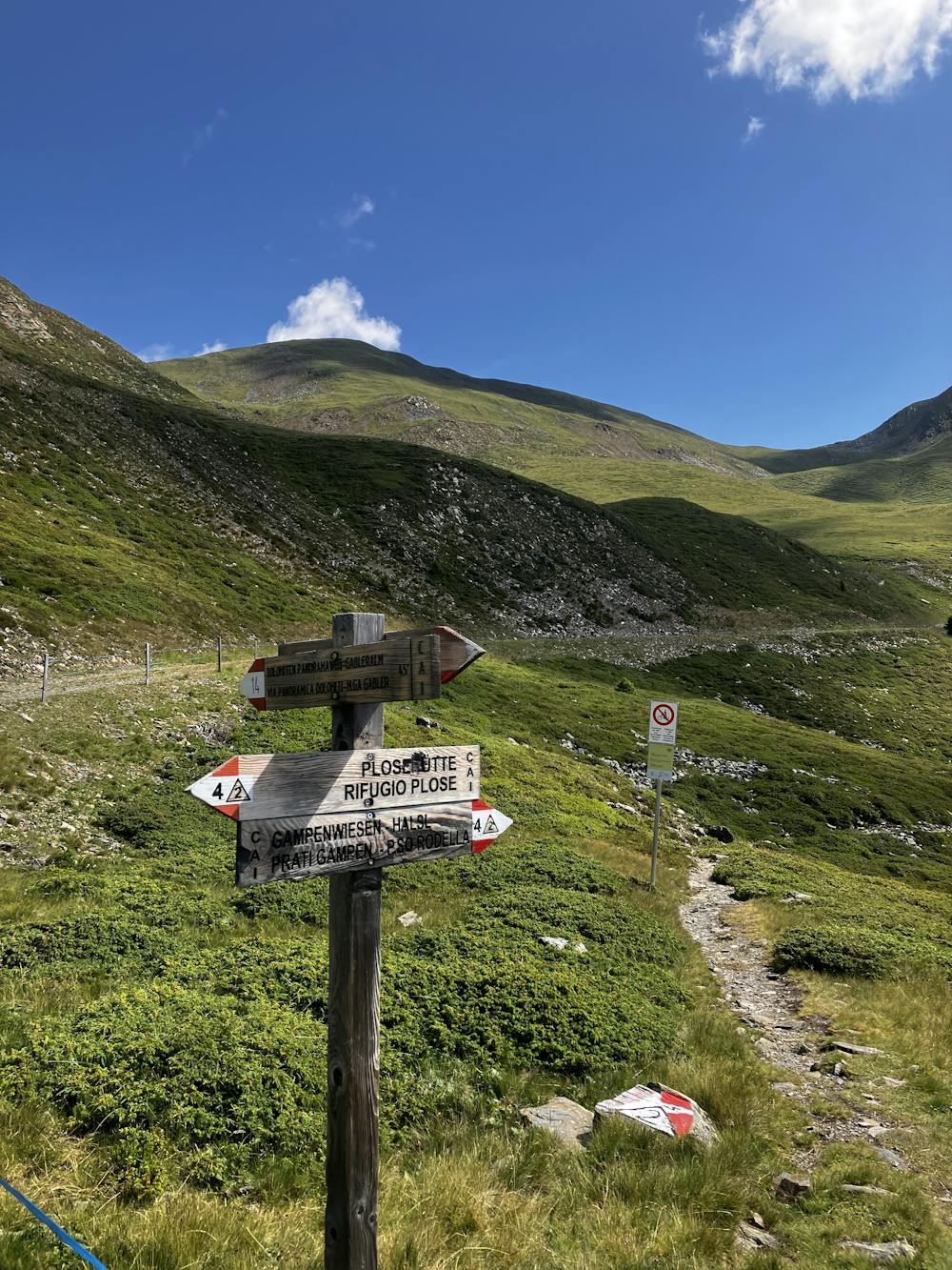
Starting Location: Plose Gondola Top Station Ending Location: Rifugio Genova Optional Routes: (A) Rifugio Plose (official start), (B) Via Ferrata Sass De Putia/Peitlerkofel (2,875m) Regional Map: Tabacco Map 030 Path Numbers: Dolomiten Panormaweg 14, 4 Places to eat/drink on route: Rifugio Plose, Edelweissehut

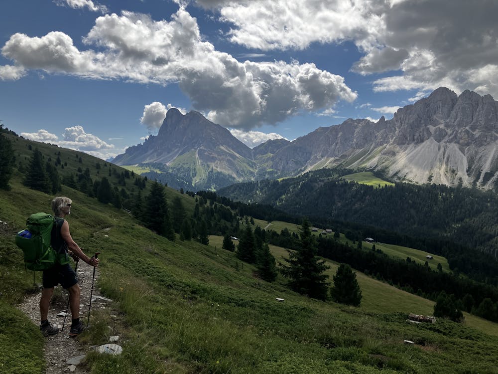
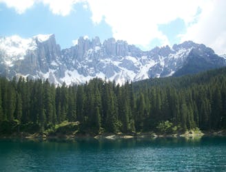
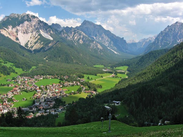
Welcome to the start of the infamous Alta Via 2 (AV2) Dolomiti! Now is the time to mentally prepare the mind, body and soul for an epic adventure no matter however many days you decide to spend on this incredible trail. First objective, swallow the ego. It is possible to start hiking the AV2 directly from the gorgeous town of Brixen, but my advice (and everyone who has ever done the AV2) would be to not. Catch bus number 321 (as of July 2022) from Brixen bus station to the Plose gondola and ride that beautiful chunk of metal and engineering all the way to the top.
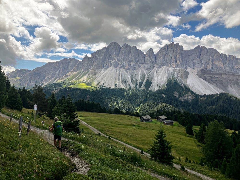
Once at the top, give yourself a pinch and take a moment to realise you are in the Dolomites. It may not seem like the place to get all that gnarly Instagram worthy content yet but don’t panic, all in good time. The official AV2 routes starts at Rifugio Plose, a 1 hour 30-minute hike up a hill to a rifugio. To save energy, time and to provide more options for better things to do later, take the Dolomiten Panormaweg 4 and enjoy a gentle stroll through some beautiful scenery. It’s a great way to warm up the legs without having to go too hard too early. Follow the GPX file until it turns right onto path 4 and enjoy a delightful, wooded walk down to the bottom of the valley and eventually end up on a road.
Optional Route (A) – For the purist’s among us who intend to walk every centimetre of the AV2, follow the signs to Rifugio Plose and start the route from there.
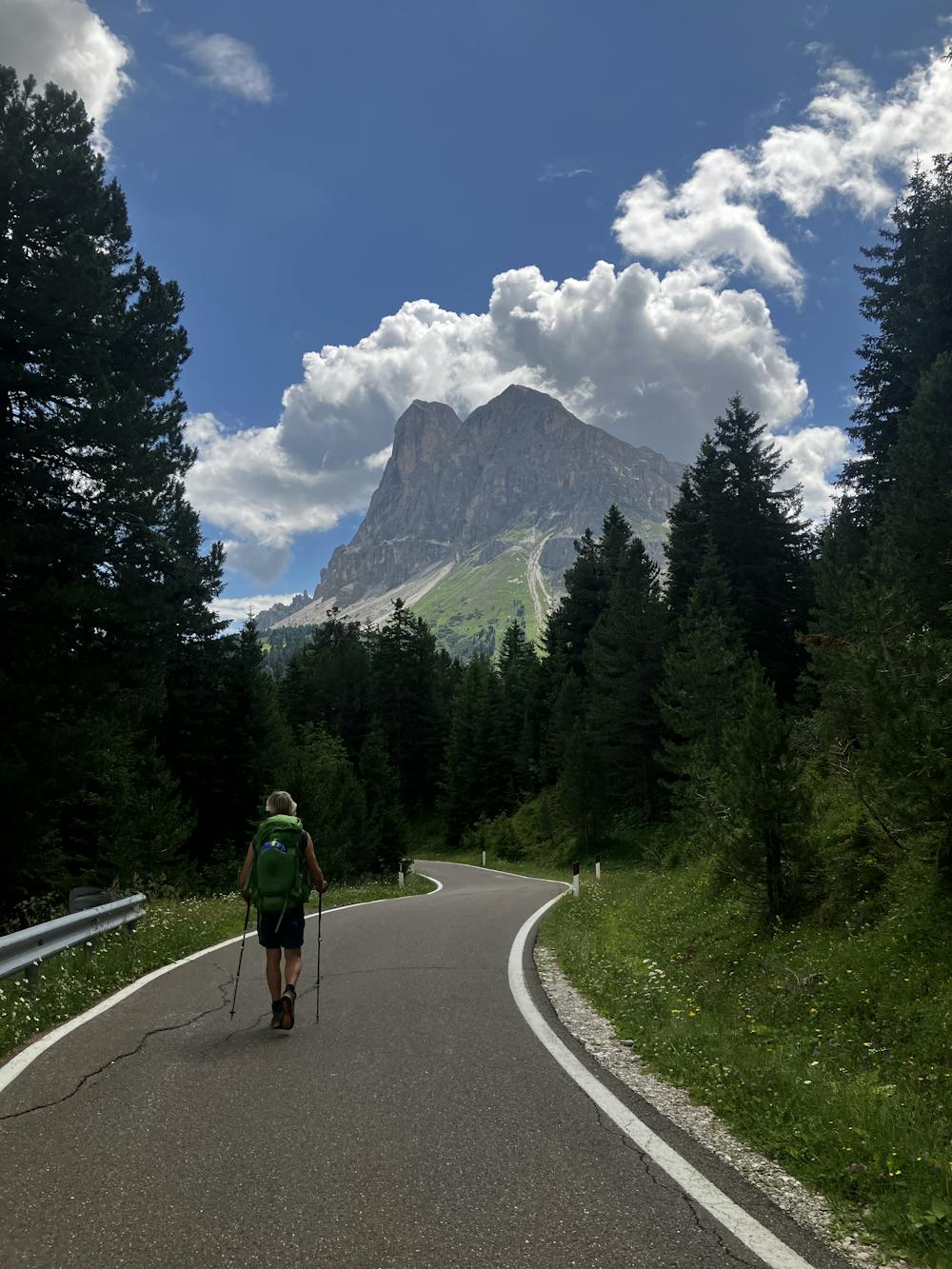
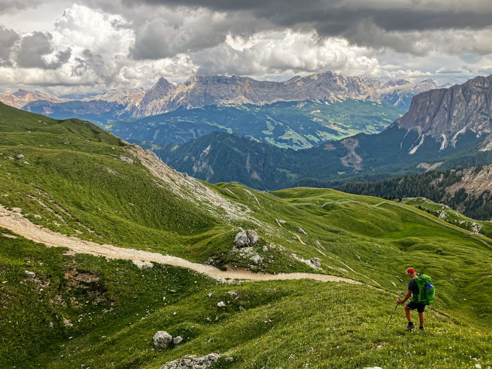
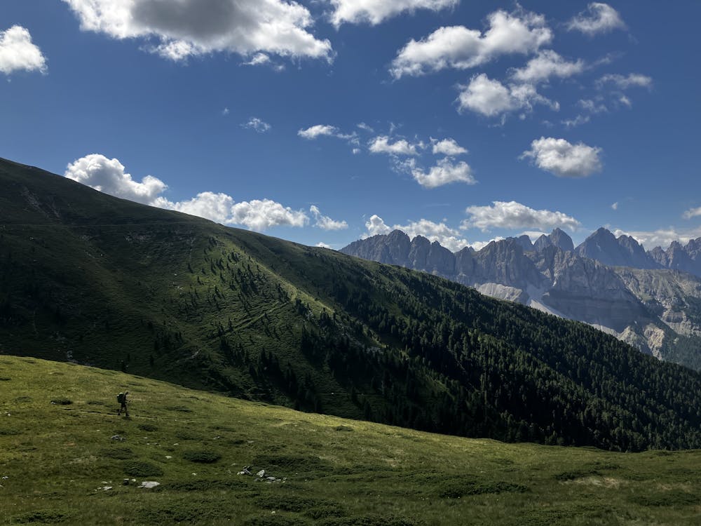
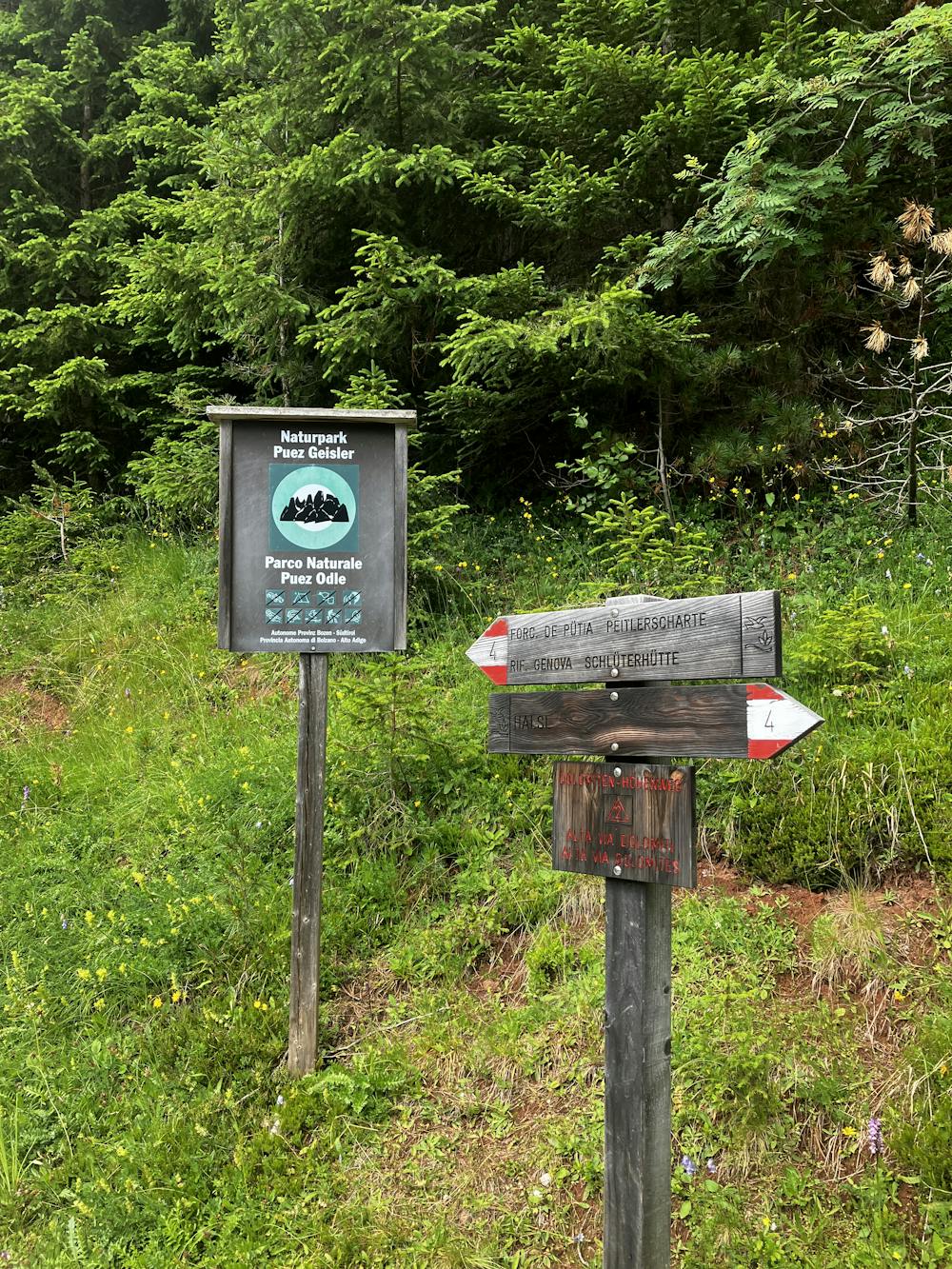
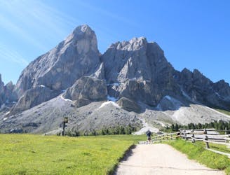
For the motorcycle fans, spend some time here watching the bikers blast up and down this incredible road, with amazing views of Sass De Putia in the background. Continue up the road until you reach a sign that welcomes you to the Puez Odle National Park. Enter the park and begin the long and tiring (see, told you to take the gondola) climb up to Forcella di Putia, the saddle just below the summit of Sass De Putia.
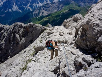
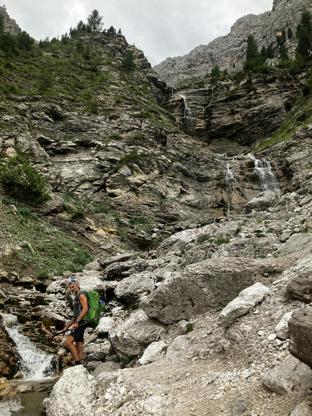
Optional Route (B) – For those who are not tired at this point and want to achieve their first summit for the trip, take the 2-hour via ferrata extension up Sass De Putia/Peitlerkofel path 4B, to gain 360-degree views of the Austrian Alps.
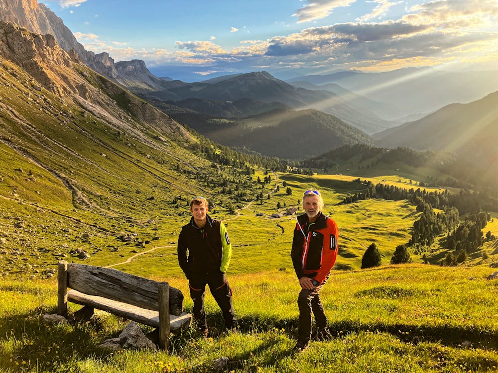
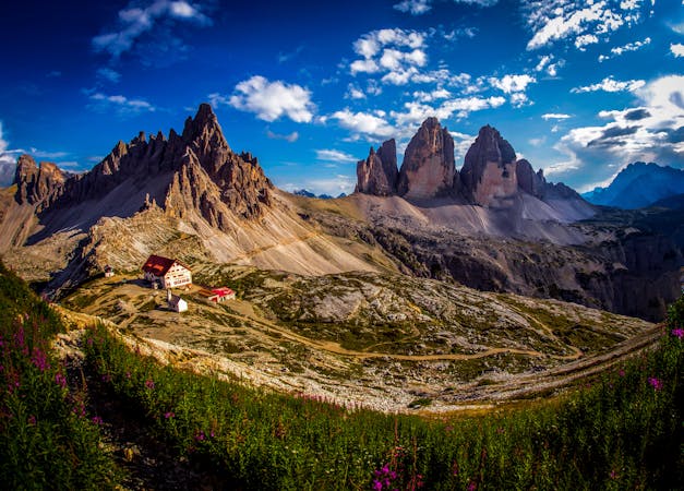
From Forcella di Putia, follow the GPX file and signs to Rifugio Genova. For those who like mid-afternoon naps among alpine meadows, this is a great place to stop and just take it all in. The views are outstanding. Meander your way to Rifugio Genova and embrace mountain hut life!
Rifugio Genova http://www.schlueterhuette.com/Schlueterhuetteen/Welcome.html
This hike and guide were completed during summer weather conditions. This is just one opinion of this route. Make sure to do your own research by consulting internet resources, mountain guides or guidebooks to evaluate other opinions so you can be best prepared for the terrain.
A Guide by Red
Severe
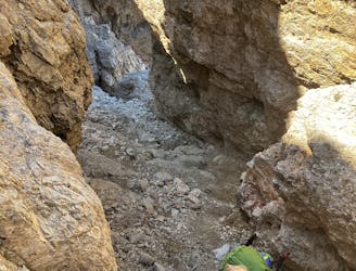
Hiking challenging trails where simple scrambling, with the occasional use of the hands, is a distinct possibility. The trails are often filled with all manner of obstacles both small and large, and the hills are very steep. Obstacles and challenges are often unexpected and can be unpredictable.

Some trail sections have exposed ledges or steep ascents/descents where falling could cause serious injury.
Little chance of being seen or helped in case of an accident.
180 m away
The strenuous “Way of the Legends” high altitude hiking trail across the Dolomites.
Difficult Hiking
2.5 km away
Cross the Dolomites by foot from Brixen to Salurn along the “High Trail of Heroes."
Difficult Hiking
8.1 km away
A long, beautiful day up and around a quintessential Dolomites peak.
Severe Hiking
9.1 km away
A real contender in the views department!
Severe Hiking
3 routes · Hiking

10 routes · Hiking
6 routes · Mountain Biking · Hiking

11 routes · Hiking