4.5 km away
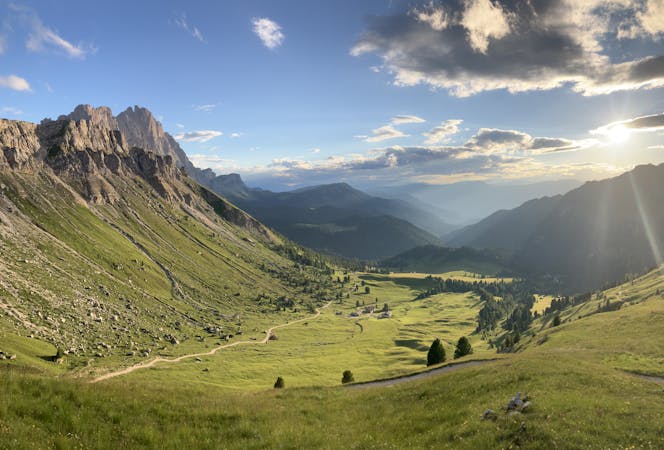
Alta Via 2 - Rifugio Genova to Rifugio Puez including Piz Duleda (2,909m) summit
A real contender in the views department!
Severe Hiking
- Distance
- 11 km
- Ascent
- 899 m
- Descent
- 722 m

A long, beautiful day up and around a quintessential Dolomites peak.
Hiking Severe

Ever so slightly detached from the various other massifs that make up the Dolomites, the Peitlerkofel/Sass de Putia (like most mountains in the Dolomites it has a German and an Italian name) is a wonderful peak which can be climbed and circumnavigated in one day, and what a day it is!
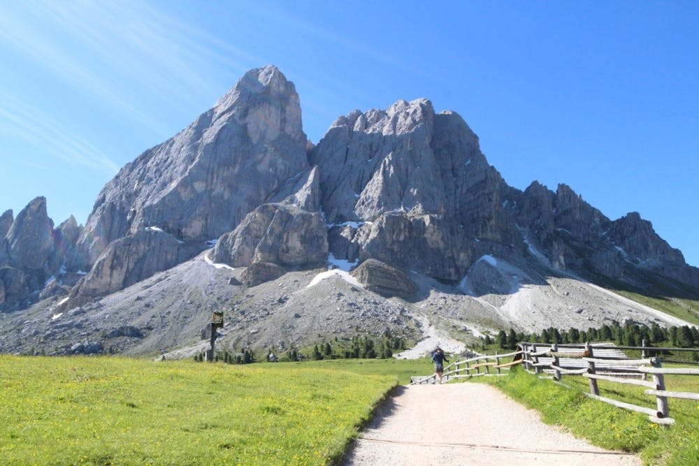
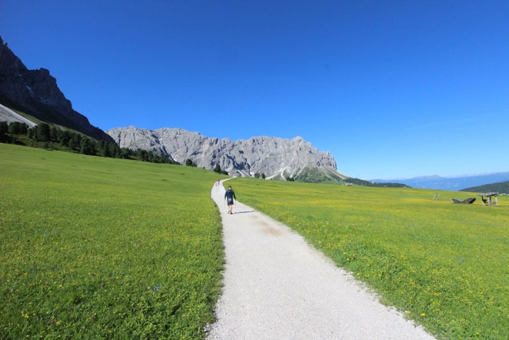
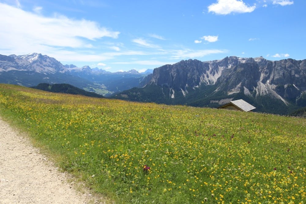
Park up on the Würzjoch/Passo della Erbe col, next to the Ütia de Börz hotel. In high season there will someone collecting a fee for parking but it is around €5 and more than worth it for the access provided by the convenient location.
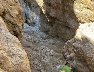
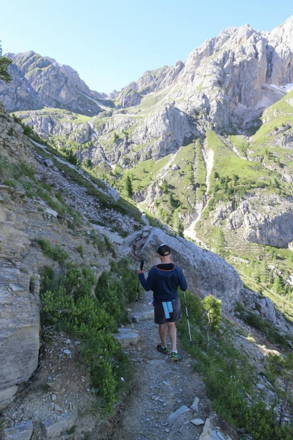
Start by hiking south on a jeep track and after 20 minutes, when it splits, go right and traverse beneath the imposing north face of the Kleiner Peitlerkofel. The track becomes narrower and rockier as it swings around to a gully south-west of the Kleiner Peitlerkofel. Climb up the gully on a clear but steep and rocky path to a fabulously positioned col.
From the col it's possible to skip out Peitlerkofel/Sass de Putia's summit by descending south-east, but it's highly recommended to put in the extra effort required to summit the peak. In order to do this, begin climbing eastwards from the col up a steep path which gets rockier as it ascends. Keep following the path through increasingly wild terrain as it climbs to a ridge which separates Peitlerkofel/Sass de Putia and the Kleiner Peitlerkofel. From here the route is steep and exposed enough that metal cables have been installed to provide security and while most hikers tackle this section using the cables as handholds, it is possible to clip into them using via ferrata equipment. Regardless of how you use them, a steady head and surefootedness are required for the final scramble to the summit. Once there, enjoy the enourmous views and then descend back to the col, taking care when passing hikers coming up the summit scramble.
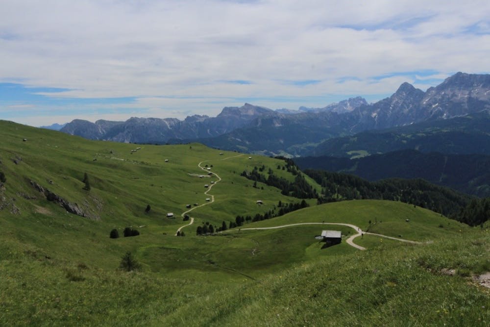
Once back at the col, head down the large, clear path that leads south-southeast into the grassy plains below Peitlerkofel/Sass de Putia's south face. The trail quickly transforms into a jeep track and leads you down through beautiful meadows to the Vaciara hut, which serves fabulous food. By this stage you are likely to have worked up an appetite so savour some well earned calories. En route to the hut there are sometimes local farmers selling produce out of their barns, so buying something from them and eating "al fresco" is another option for lunch.
However you replenished your calories, branch left off the main track a couple of hundred metres after the Vaciara hut and make the short climb up to a wooded col due east of Peitlerkofel/Sass de Putia.
Head north-west from the col and follow a rocky path through forests and between some limestone boulders back to the jeep track where you started hiking in the morning. A 20 minute hike on this leads back to the carpark.
Severe
Hiking challenging trails where simple scrambling, with the occasional use of the hands, is a distinct possibility. The trails are often filled with all manner of obstacles both small and large, and the hills are very steep. Obstacles and challenges are often unexpected and can be unpredictable.
4.5 km away

A real contender in the views department!
Severe Hiking
8.1 km away
The first day of the legendary AV2!
Severe Hiking
8.1 km away
The strenuous “Way of the Legends” high altitude hiking trail across the Dolomites.
Difficult Hiking
9.5 km away
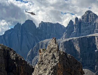
One of the best viewpoints in the Dolomites with a fantastic via ferrata to go with it!
Extreme Hiking
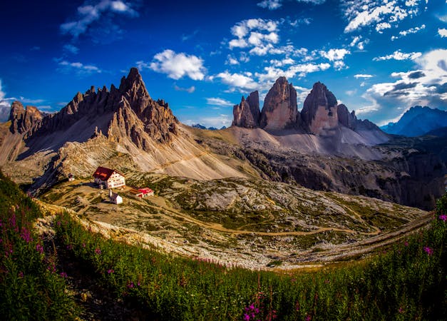
3 routes · Hiking
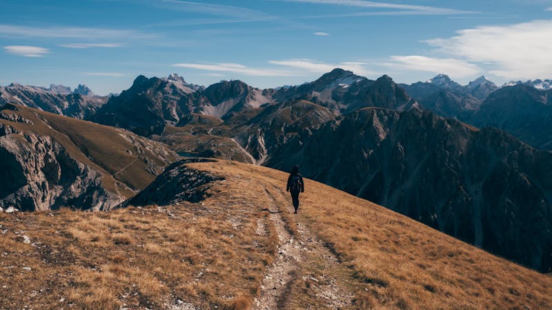
10 routes · Hiking
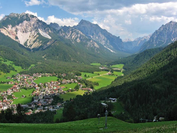
6 routes · Mountain Biking · Hiking
11 routes · Hiking