7.1 km away
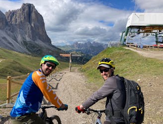
Ciampinoi to the Gran Paradiso Chairlift
A scenic and easy roll down a shared use trail
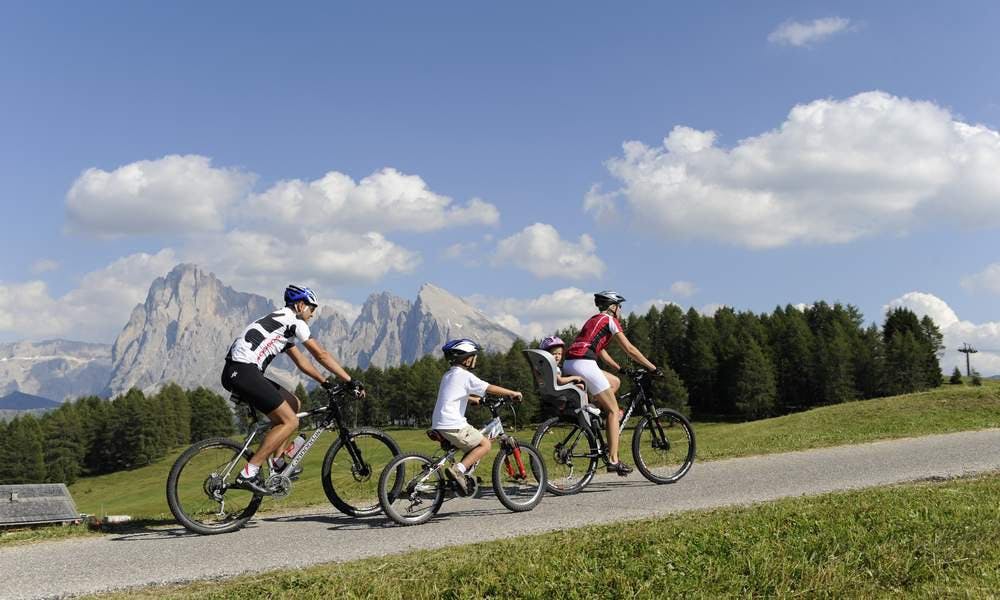
Moderate Mountain Biking
- Distance
- 2.8 km
- Ascent
- 48 m
- Descent
- 276 m
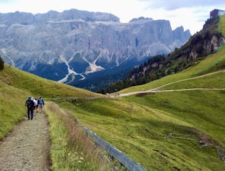
Alpe di Siusi to Saltria and trough the Jender Valley towards Ortisei
Mountain Biking Easy

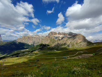
This is a popular mountain biking route which is generally considered to be easy. It's not remote, it features low exposure and is typically done between May and October. From a low point of 1.2 km to the maximum altitude of 2 km, the route covers 15 km, 147 vertical metres of ascent and 928 vertical metres of descent.
Easy Trail route on the beautifull Alpe di Siusi. Heading towards Saltria, a small village on top of the mountain and back trough the scenic Jender valley to Ortisei.
Easy
Mostly smooth and non-technical singletrack with unavoidable obstacles 2in/5cm tall or less. Avoidable obstacles may be present. Ideal for beginner riders.

The path is on completely flat land and potential injury is limited to falling over.
Close to help in case of emergency.
7.1 km away
A scenic and easy roll down a shared use trail
Moderate Mountain Biking
8 km away
A long and beautiful journey down to a charming village
Difficult Mountain Biking
9.6 km away
A long and low angled rollercoaster ride
Difficult Mountain Biking
5 routes · Mountain Biking
6 routes · Mountain Biking