7.1 km away
Ciampinoi to the Gran Paradiso Chairlift
A scenic and easy roll down a shared use trail
Moderate Mountain Biking
- Distance
- 2.8 km
- Ascent
- 48 m
- Descent
- 276 m
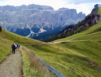
From the top of the Alpe di Siusi Cablecar to the Bullaccia/Puflatsch panorama point
Mountain Biking Easy

This is a popular mountain biking route which is generally considered to be easy. It's not remote, it features low exposure and is typically done between April and November. From a low point of 1.2 km to the maximum altitude of 2.1 km, the route covers 21 km, 543 vertical metres of ascent and 1319 vertical metres of descent.
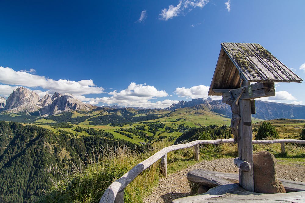
Starting from the Topstation of the Alpe di Siusi cablecar we start towards Compatsch. from there it starts the only uphill part wich will bring you up to one of the most amazing view-points of this region. then we go back towards Bulla and than further on to Ortisei.
Easy
Mostly smooth and non-technical singletrack with unavoidable obstacles 2in/5cm tall or less. Avoidable obstacles may be present. Ideal for beginner riders.

The path is on completely flat land and potential injury is limited to falling over.
Close to help in case of emergency.
7.1 km away
A scenic and easy roll down a shared use trail
Moderate Mountain Biking
8 km away
A long and beautiful journey down to a charming village
Difficult Mountain Biking
9.6 km away
A long and low angled rollercoaster ride
Difficult Mountain Biking
5 routes · Mountain Biking
6 routes · Mountain Biking