7.5 km away
Ciampinoi to the Gran Paradiso Chairlift
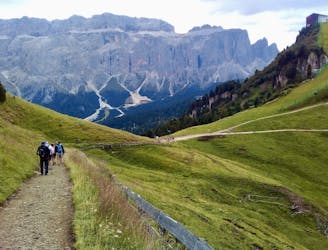
A scenic and easy roll down a shared use trail
Moderate Mountain Biking
- Distance
- 2.8 km
- Ascent
- 48 m
- Descent
- 276 m
Explorer enduro tour
Mountain Biking Difficult

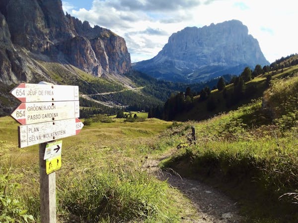
This is a popular mountain biking route which is generally considered to be difficult. It's remote, it features medium exposure and is typically done between May and October. From a low point of 1.2 km to the maximum altitude of 2.2 km, the route covers 17 km, 1109 vertical metres of ascent and 1107 vertical metres of descent.
on this tour you`ll ride on mostly undiscovered trails and finding new spots
Difficult
Mostly stable trail tread with some variability featuring larger and more unavoidable obstacles that may include, but not be limited to: bigger stones, roots, steps, and narrow curves. Compared to lower intermediate, technical difficulty is more advanced and grades of slopes are steeper. Ideal for upper intermediate riders.

The trail contains some obstacles such as outcroppings and rock which could cause injury.
Away from help but easily accessed.
7.5 km away
A scenic and easy roll down a shared use trail
Moderate Mountain Biking
8.9 km away
A long and beautiful journey down to a charming village
Difficult Mountain Biking
5 routes · Mountain Biking