2.4 km away
Ciampinoi to the Gran Paradiso Chairlift
A scenic and easy roll down a shared use trail
Moderate Mountain Biking
- Distance
- 2.8 km
- Ascent
- 48 m
- Descent
- 276 m
A long and beautiful journey down to a charming village
Also in Bozen, Italy
Mountain Biking Difficult

This is a great journey, with a wide variety of detours and options.
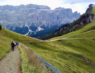
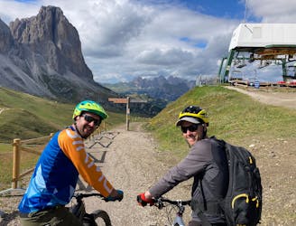
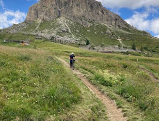
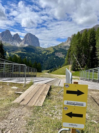
Start by riding away from the Gran Paradiso chairlift and following an easy, busy track which leads to the Passo Sella. The track is shared use and there will be pedestrians on it, so take it slowly and be respectful.
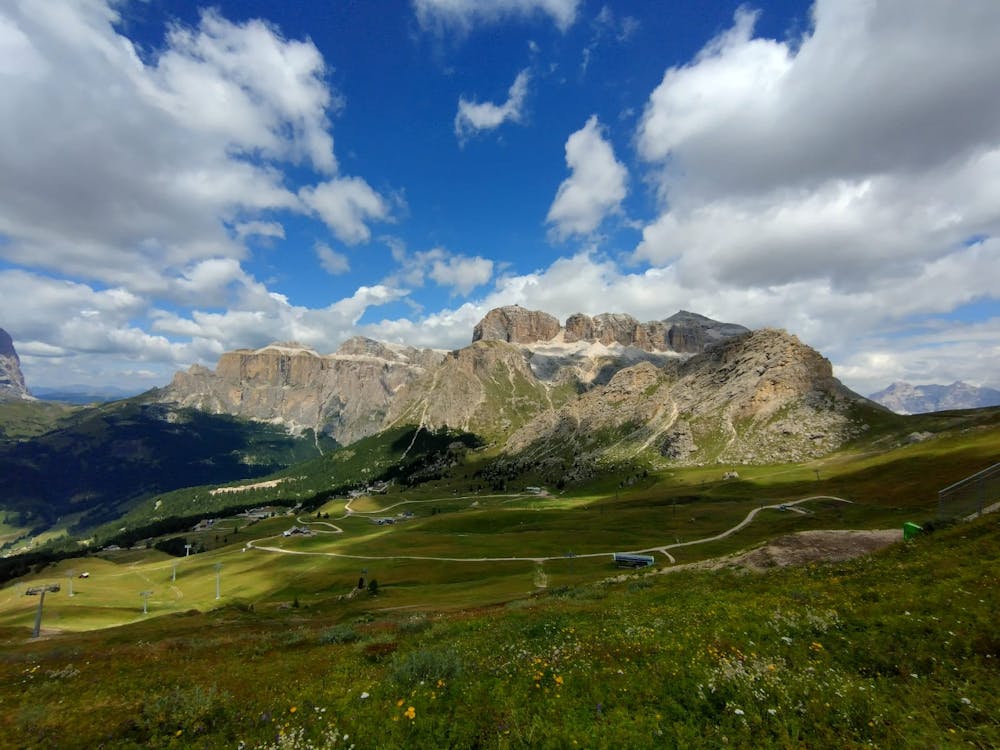
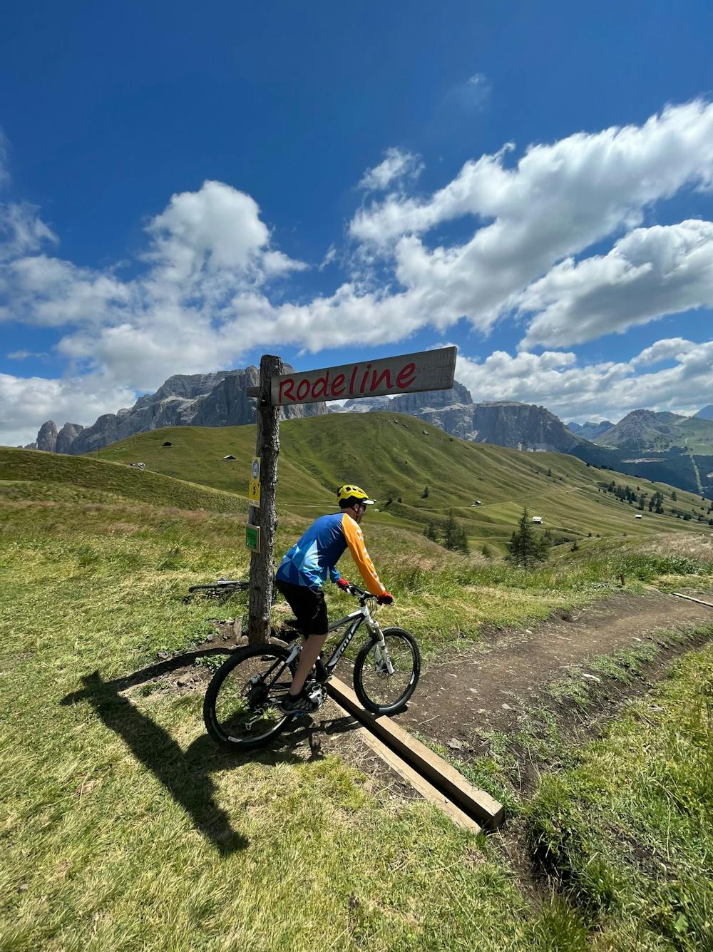
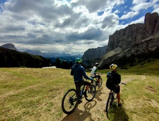
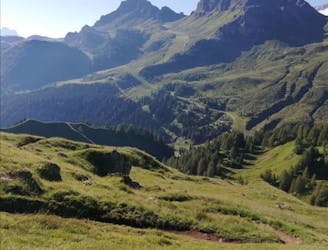
Once on Passo Sella, take in the huge vista across the southern part of the Dolomites and across towards Passo Pordoï. Ride briefly towards the Rifugio Salei and then drop off left onto the fun and flowy Rodeline trail.
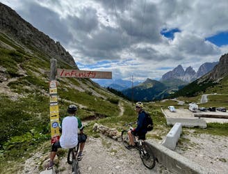
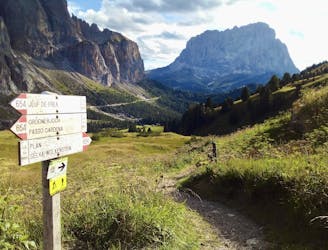
Having ridden the initial section of Rodeline there are several options - either ride the 2 lower sections of it as well, follow some steep but non-technical jeep tracks, or detour onto one of the other trails around such as Joel. There really are a lot of trails in this area so simply piece together whatever looks the most fun! The forests can be something of a maze, but provided you're in the right valley and always heading towards Canazei, you shouldn't go too far wrong!
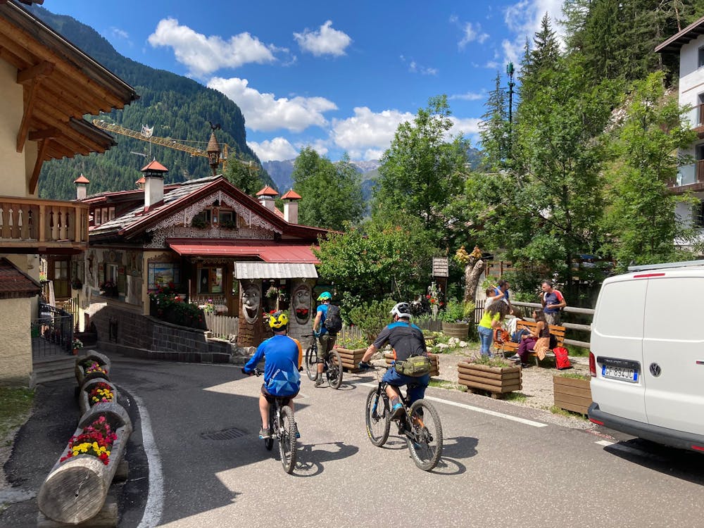
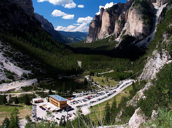
Regardless of which route you take you'll eventually find yourself on a shared use jeep track which leads down to the outskirts of Canazei village. It's a bustling little place with copious options for eating and drinking, so - if you can spare the time - have an explore before carrying on with your journey around the Sella towers.
Once you've had a look around Canazei, locate the Pecol gondola (which in turn links to the Col de Rossi lift) and ride it up for yet more views and trails!
Difficult
Mostly stable trail tread with some variability featuring larger and more unavoidable obstacles that may include, but not be limited to: bigger stones, roots, steps, and narrow curves. Compared to lower intermediate, technical difficulty is more advanced and grades of slopes are steeper. Ideal for upper intermediate riders.

The trail contains some obstacles such as outcroppings and rock which could cause injury.

Little chance of being seen or helped in case of an accident.
2.4 km away
A scenic and easy roll down a shared use trail
Moderate Mountain Biking
2.5 km away
A long and low angled rollercoaster ride
Difficult Mountain Biking
5.5 km away
A long, varied and beautiful descent through a famous valley
Difficult Mountain Biking
5.8 km away
An exceptional and tough descent down to a bustling town
Severe Mountain Biking
5.9 km away
The big one! The longest lift-free section of the Sella Ronda is wild and beautiful.
Difficult Mountain Biking
6.1 km away
Exceptional trail riding plus great views and some excellent rifugios en route
Difficult Mountain Biking
6.3 km away
A long and scenic descent beneath some magnificent mountain architecture.
Difficult Mountain Biking
8.6 km away
One of the finest descents on the entire Sella Ronda!
Severe Mountain Biking
9.4 km away
A wild trip through some of the Dolomites' finest scenery.
Severe Mountain Biking
9.7 km away
A tough climb to a famous col and then a beautiful, sweeping descent.
Difficult Mountain Biking
3 routes · Mountain Biking
4 routes · Mountain Biking
5 routes · Mountain Biking
6 routes · Mountain Biking