912 m away
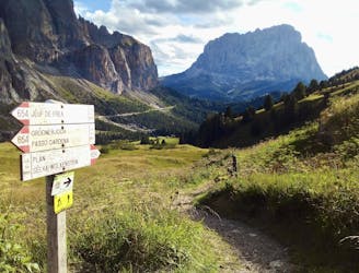
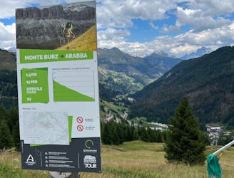
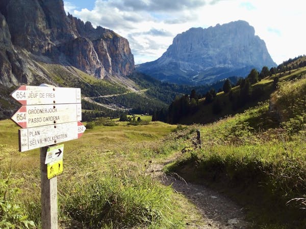
Passo Gardena to Wolkenstein
A long and scenic descent beneath some magnificent mountain architecture.
Difficult Mountain Biking
- Distance
- 8.7 km
- Ascent
- 71 m
- Descent
- 720 m
A long, varied and beautiful descent through a famous valley
Mountain Biking Difficult

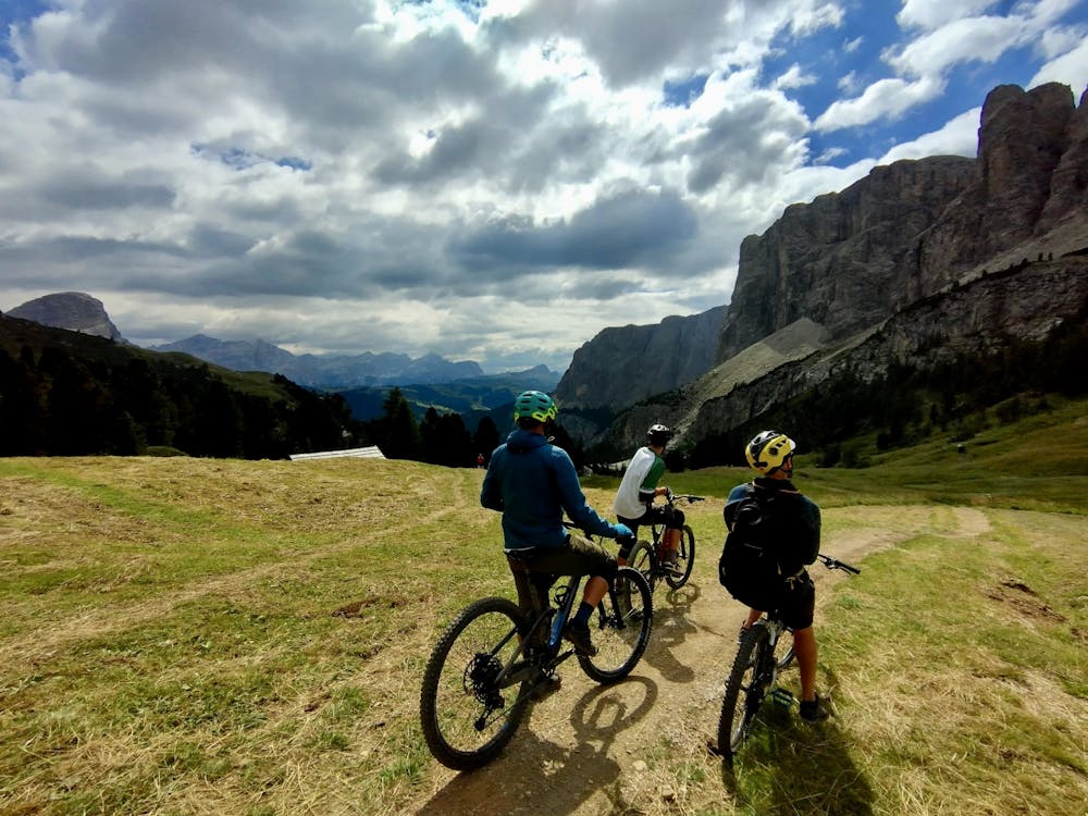
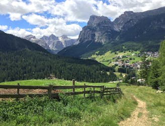
Starting above the Passo Gardena and finishing down in the village of Corvara, this is a fabulous long descent taking in everything from wooden ramps to smooth trails and fast singletrack.
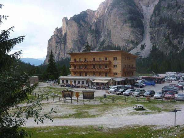
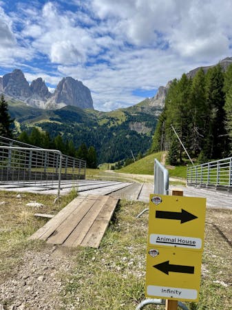
After getting off the lift the trail begins with some fast and furious berms which lead you down to the Hotel Cir, right on the Passo Gardena. There are a couple of options for the ride to the Hotel Cir but they all meet up at the Gardena, and all involve well-built wooden features and smooth, fast trails.
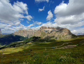
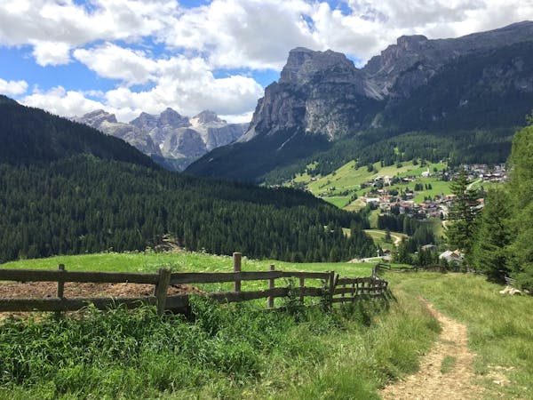
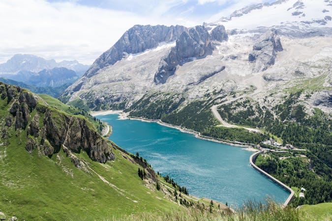
After a very brief section on the road, the trail drops off to the right and heads down through meadows towards the foot of the Plans Frara gondola. The riding is fast and open for most of the route, and the scenery (particularly the huge towers looming above) is utterly spectacular throughout. The riding is never hard but it's the kind of terrain where you pick up speed easily, so hold your concentration - a fall would likely hurt on this section!
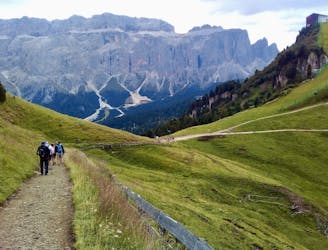
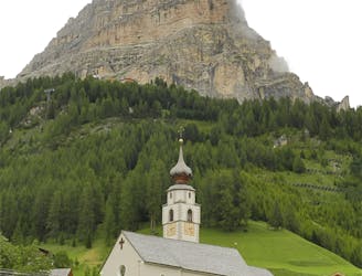
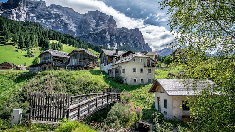
Once you reach the bottom of the Plans Frara the trail becomes much smoother and more mellow. It's also shared-use from here on, so cruise along slowly and be conscious of the many pedestrians you'll be sharing the trail with. Roll into Corvara and grab a cappuccino at one of the many excellent roadside cafes which line the streets of the village.
If you're riding the Sella Ronda there's an uphill section coming up after Corvara, so getting some caffeine and calories on board is a good idea!
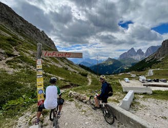
Ride the Col Alta cable car and then ride quickly down to the Braia Fraida chairlift and take this up to reach the next section of the Sella Ronda - the Flé trail.
Difficult
Mostly stable trail tread with some variability featuring larger and more unavoidable obstacles that may include, but not be limited to: bigger stones, roots, steps, and narrow curves. Compared to lower intermediate, technical difficulty is more advanced and grades of slopes are steeper. Ideal for upper intermediate riders.

The trail contains some obstacles such as outcroppings and rock which could cause injury.
Away from help but easily accessed.
912 m away
A long and scenic descent beneath some magnificent mountain architecture.
Difficult Mountain Biking
3.9 km away
A scenic and easy roll down a shared use trail
Moderate Mountain Biking
5.5 km away
A long and beautiful journey down to a charming village
Difficult Mountain Biking
5.7 km away
A lovely cruise on gravel roads, occasional tarmac and some very easy singletrack.
Easy Mountain Biking
5.7 km away
A wonderful journey beneath some epic Dolomitic scenery.
Moderate Mountain Biking
6.7 km away
One of the finest descents on the entire Sella Ronda!
Severe Mountain Biking
6.8 km away
A wild trip through some of the Dolomites' finest scenery.
Severe Mountain Biking
7.4 km away
The big one! The longest lift-free section of the Sella Ronda is wild and beautiful.
Difficult Mountain Biking
7.4 km away
An exceptional and tough descent down to a bustling town
Severe Mountain Biking
7.5 km away
A long and low angled rollercoaster ride
Difficult Mountain Biking
3 routes · Mountain Biking
4 routes · Mountain Biking
4 routes · Mountain Biking
5 routes · Mountain Biking
5 routes · Mountain Biking
6 routes · Mountain Biking