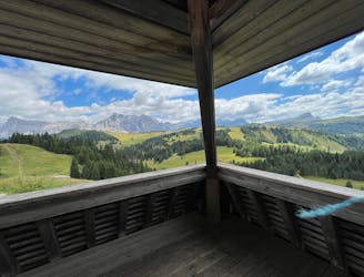
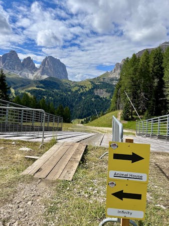
1 km away
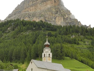
Bec de Roces
One of the finest descents on the entire Sella Ronda!
Severe Mountain Biking
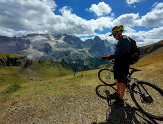
- Distance
- 3.8 km
- Ascent
- 11 m
- Descent
- 487 m
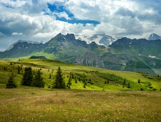
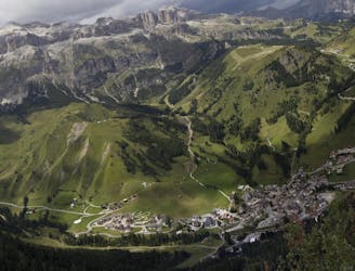
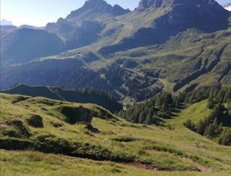
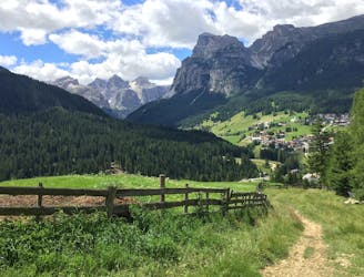
A wild trip through some of the Dolomites' finest scenery.
Mountain Biking Severe

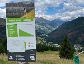
A logical and satisfying loop, this ride encompasses much of what makes the Dolomites special - amazing riding, huge scenery and a wonderful mountain huts.
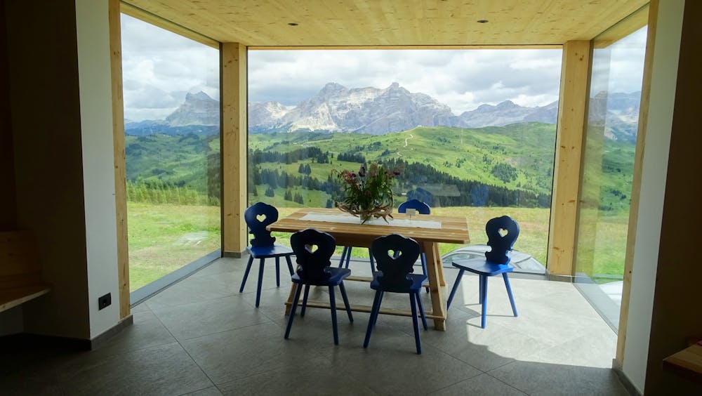
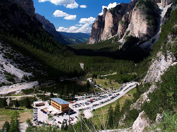
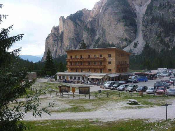
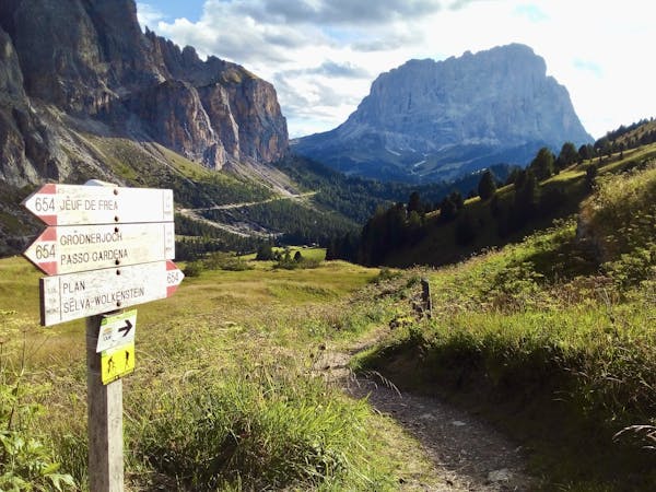
Start from the Passo Capolongo and take the white gravel track uphill towards Cherz and the Rifugio of the same name. Take a single track to the left halfway up the climb (the track is called the Jägerweg - the hunter trail) and follow it through vegetation. Cross a small bridge and climb a technical single track uphill over tree roots and then flow down a lovely, fast trail all the way to Rifugio Marmotta. Turn left at the Rifugio and descend down another short flowy trail back onto a gravel road. Keep descending and then follow a single track on the right up to another gravel road. Turn right and climb up to the Rifugio Arlara. There are some brutally steep sections of track leading up to the Arlara, so be prepared to earn the calories you'll consume upon arriving!
From the Rifugio Arlara, undulate across a lovely plateau to Piz la Ila. Take a singletrack on a small, grassy ridge and turn right on a gravel road which ends up in a grassy dip. Turn right just before the foot of the Pre Dai Corf and Roby ski lifts and go down a narrow, steep, rooty and step-filled singletrack to reach a river. Turn right again and there's more technicality - it's stony all the way down to a gentle track. This section of riding is the toughest (technically) on the whole adventure and will likely satisfy even the most skilled of bikers.
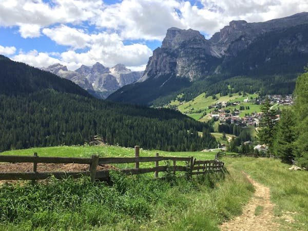
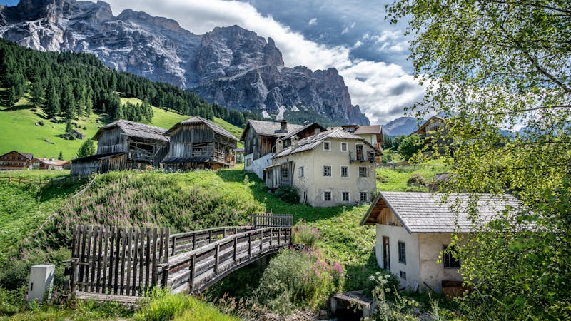
Once on the gentle track, turn left and follow alongside the river this back to Corvara. once in the village, get a few more calories on board and then climb back to Campolongo on a steep tarmac road, passing the Hotel Panorama en route.
Severe
Widely variable, narrow trail tread with steeper grades and unavoidable obstacles of 15in/38cm tall or less. Obstacles may include unavoidable bridges 24in/61cm wide or less, large rocks, gravel, difficult root sections, and more. Ideal for advanced-level riders.

Some trail sections have exposed ledges or steep ascents/descents where falling could cause serious injury.
Little chance of being seen or helped in case of an accident.
1 km away
One of the finest descents on the entire Sella Ronda!
Severe Mountain Biking
2.4 km away
Wild scenery and tough riding make this one of the biggest biking challenges in the Dolomites.
Severe Mountain Biking
2.4 km away
A wonderful trip between bucolic villages.
Moderate Mountain Biking
2.4 km away
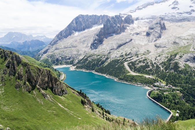
A long, tough and utterly spectacular journey opposite the highest mountain in the Dolomites.
Extreme Mountain Biking
2.4 km away
A tough climb to a famous col and then a beautiful, sweeping descent.
Difficult Mountain Biking
3.2 km away
A wonderful journey beneath some epic Dolomitic scenery.
Moderate Mountain Biking
3.3 km away
A lovely cruise on gravel roads, occasional tarmac and some very easy singletrack.
Easy Mountain Biking
4.4 km away
One of the longer climbs on the clockwise Sella Ronda followed by a fun descent.
Difficult Mountain Biking
5.2 km away
Breathtaking scenery and a bumpy trail make this a great mini adventure
Difficult Mountain Biking
5.6 km away
The big one! The longest lift-free section of the Sella Ronda is wild and beautiful.
Difficult Mountain Biking
3 routes · Mountain Biking
4 routes · Mountain Biking
3 routes · Mountain Biking
4 routes · Mountain Biking
5 routes · Mountain Biking
5 routes · Mountain Biking
6 routes · Mountain Biking