2.6 km away
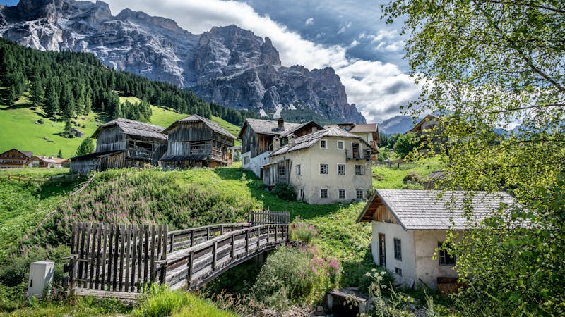
Corvara - Cascata Pisciadú - Pescosta - Corvara
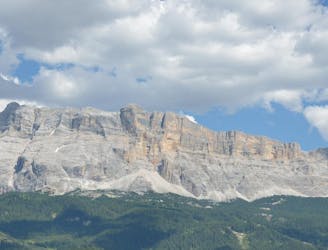
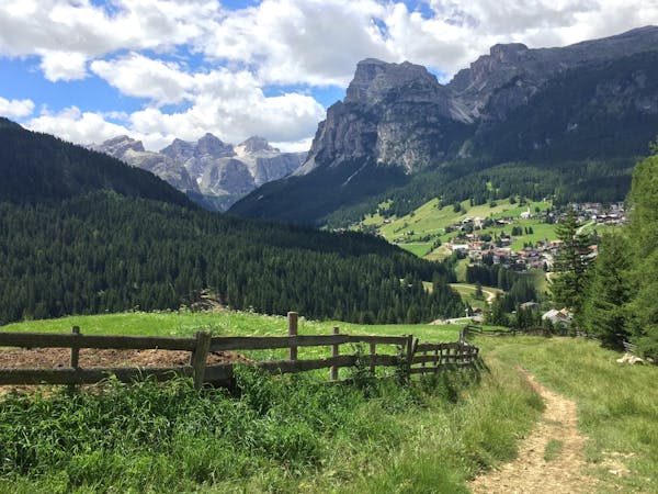
A wonderful journey beneath some epic Dolomitic scenery.
Moderate Mountain Biking
- Distance
- 9.9 km
- Ascent
- 313 m
- Descent
- 312 m
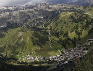
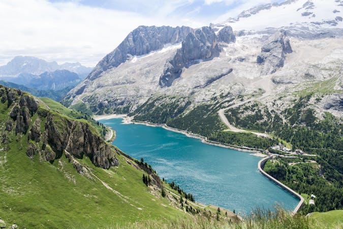
One of the longer climbs on the clockwise Sella Ronda followed by a fun descent.
Mountain Biking Difficult

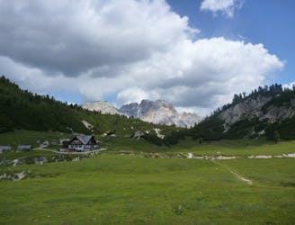
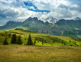
Starting with an uphill section on a shared use trail, this is one of the longer uninterrupted sections of the Sella Ronda clockwise route. That initial climb is, frankly, a bit of a slog and the crowds on the trail mean that you can't ride it quickly for fear of causing a collision. Just accept it as a very small price to pay for having such a fabulous day, enjoy the scenery and get it done.
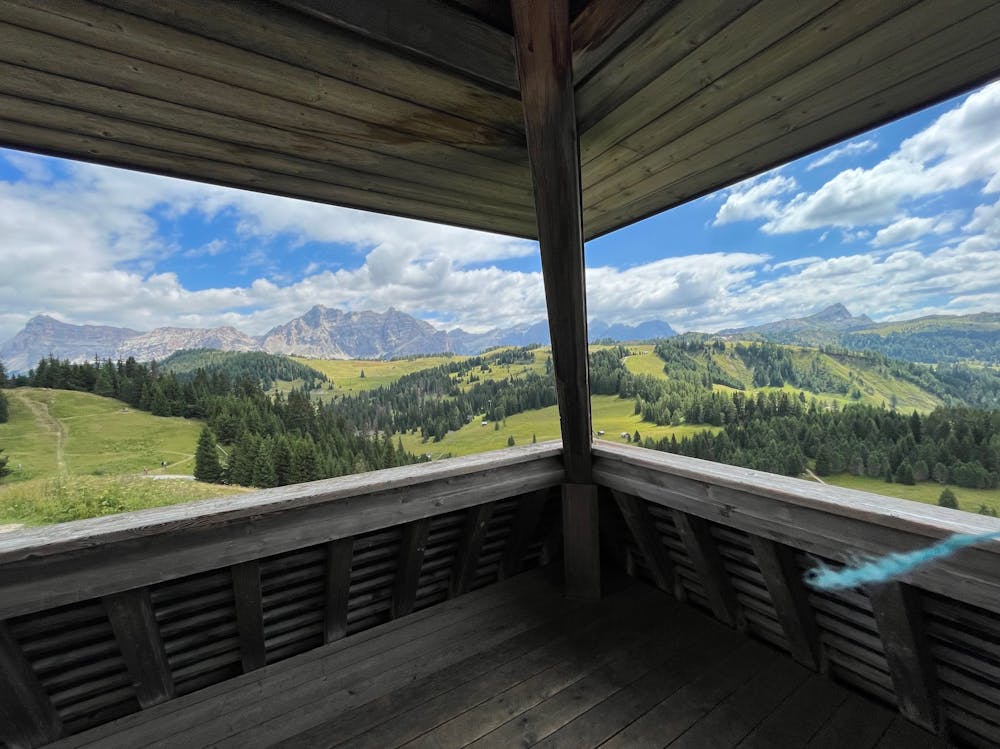
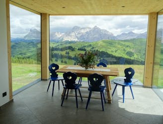
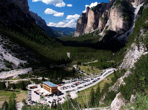
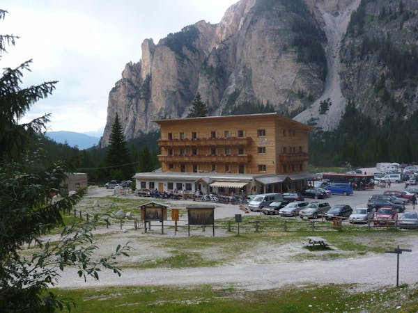
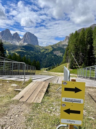
Once you reach the top of the Pralongia peak there's a superb and immaculately-built bit of singletrail which leads down to the Rifugio Incisa. The trail down to the hut features some epic wooden features, and the idea that one of the best situated huts in the Dolomites awaits you only makes it more enjoyable. Few bikers can resist a drink and a bite to eat on the terrace of the hut, and nor should they!
Soak it all in and then begin the descent.
From the hut it's not entirely clear where the route goes - the official Sella Ronda map shows it going straight across the jeep track next to the hut, but this is now marked with a "no bikes" sign. The option we took (which is drawn here) is the one which the Sella Ronda signs on the ground point to you to, but it still didn't seem quite right. Please let us know if there's a bit more clarity on the correct route in summers to come!
Despite the confusion (which is only added to by the official Sella Ronda GPX showing a third - but clearly incorrect - option), all of the trails eventually lead you down a quiet, forested hillside to the foot of the Campolongo - Bec de Roces chairlift.
Difficult
Mostly stable trail tread with some variability featuring larger and more unavoidable obstacles that may include, but not be limited to: bigger stones, roots, steps, and narrow curves. Compared to lower intermediate, technical difficulty is more advanced and grades of slopes are steeper. Ideal for upper intermediate riders.

The trail contains some obstacles such as outcroppings and rock which could cause injury.
Away from help but easily accessed.
2.6 km away
A wonderful journey beneath some epic Dolomitic scenery.
Moderate Mountain Biking
2.6 km away
A lovely cruise on gravel roads, occasional tarmac and some very easy singletrack.
Easy Mountain Biking
2.9 km away
A scenic cruise through a famous Ladin valley.
Moderate Mountain Biking
3.7 km away
A beast of a ride through some of the best scenery in the Alps!
Difficult Mountain Biking
4.4 km away
A wild trip through some of the Dolomites' finest scenery.
Severe Mountain Biking
5.4 km away
One of the finest descents on the entire Sella Ronda!
Severe Mountain Biking
6.5 km away
A wonderful trip between bucolic villages.
Moderate Mountain Biking
6.5 km away
Wild scenery and tough riding make this one of the biggest biking challenges in the Dolomites.
Severe Mountain Biking
6.5 km away
A long, tough and utterly spectacular journey opposite the highest mountain in the Dolomites.
Extreme Mountain Biking
6.6 km away
Fun singletrack riding through stunning Ladin valleys.
Moderate Mountain Biking
3 routes · Mountain Biking
4 routes · Mountain Biking
3 routes · Mountain Biking
4 routes · Mountain Biking
5 routes · Mountain Biking
6 routes · Mountain Biking