2.8 km away
La Villa - Val di Fanes - Sennes - Pederü - Val Badia.
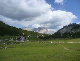
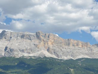
A beast of a ride through some of the best scenery in the Alps!
Difficult Mountain Biking
- Distance
- 103 km
- Ascent
- 3.3 km
- Descent
- 3.3 km
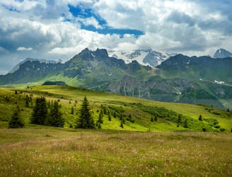
A scenic cruise through a famous Ladin valley.
Mountain Biking Moderate

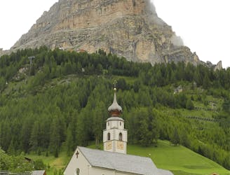
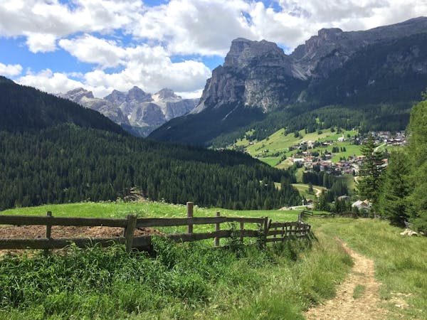
Many people believe that the Dolomites is home to only 2 official languages - German and Italian - but there is actually a third language spoken in the region; Ladin. This (frankly strange-sounding) language doesn't bear much resemblance to either German or Italian and hearing it in the villages of the Dolomites is a bit of a shock to the system! This ride takes you right through the heart of the Ladin Dolomites, and the name of this trail "Tru De Lersc" means "Larch (lersc) Trail (tru)".

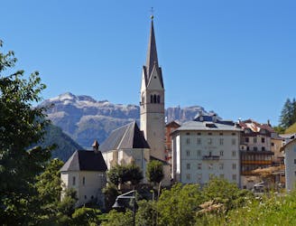
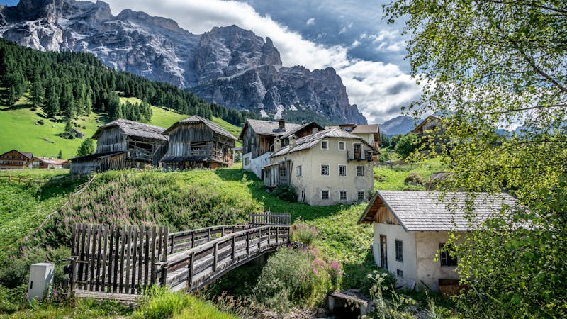
Start out in the lovely little village of San Cassiano and ride alongside the river to the Armentarola cross country ski track. From here, follow easy gravel roads to the Malga Armentarola - a wonderfully traditional mountain Alm with all sorts of animals to look at. The hut is very small and rustic; one San Cassiano local expert described it as "down to earth" and we can do no better!
From the Malga Armentarola go back onto an easy, small singletrack back to the road. Pass the Camping Sass Dlacia then follow a track alongside the road before turning right at the Apartmenti Ciasa Pini and climbing up the road to a signpost sending you left on to the Tru De Lersc.
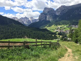
The trail undulates and then descends to San Cassiano via the hamlets of Rü and Tamors past some classic Ladin barns, which are amazingly well kept and charmingly traditional. Although easy enough, this ride will have given you a fascinating insight into a little known part of Alpine culture.
Moderate
Mostly stable trail tread with some variability, with unavoidable obstacles 8in/20cm tall or less. Other obstacles such as rock gullies and steep sections may exist. Ideal for lower intermediate riders.

The trail contains some obstacles such as outcroppings and rock which could cause injury.
Away from help but easily accessed.
2.8 km away
A beast of a ride through some of the best scenery in the Alps!
Difficult Mountain Biking
2.9 km away
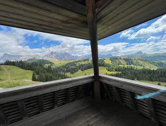
One of the longer climbs on the clockwise Sella Ronda followed by a fun descent.
Difficult Mountain Biking
5.2 km away
A wonderful journey beneath some epic Dolomitic scenery.
Moderate Mountain Biking
5.2 km away
A lovely cruise on gravel roads, occasional tarmac and some very easy singletrack.
Easy Mountain Biking
5.4 km away
Fun singletrack riding through stunning Ladin valleys.
Moderate Mountain Biking
7.3 km away
A wild trip through some of the Dolomites' finest scenery.
Severe Mountain Biking
8.3 km away
One of the finest descents on the entire Sella Ronda!
Severe Mountain Biking
9.3 km away
A wonderful trip between bucolic villages.
Moderate Mountain Biking
9.3 km away
Wild scenery and tough riding make this one of the biggest biking challenges in the Dolomites.
Severe Mountain Biking
9.3 km away
A long, tough and utterly spectacular journey opposite the highest mountain in the Dolomites.
Extreme Mountain Biking
3 routes · Mountain Biking
4 routes · Mountain Biking
3 routes · Mountain Biking
4 routes · Mountain Biking
5 routes · Mountain Biking
6 routes · Mountain Biking