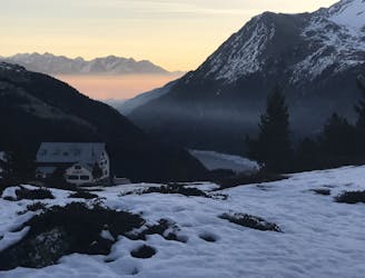
3.3 km away
Ortler Ski Tour: Zufal to Martello Hut
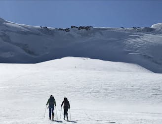
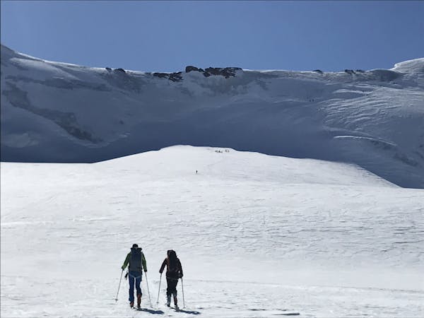
Day 2: A remote circular route accessing 2 summits and the opposite side of the mountain.
Difficult Ski Touring
- Distance
- 13 km
- Ascent
- 1.5 km
- Descent
- 1.2 km
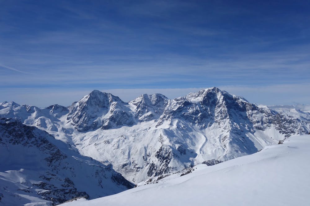
Überschreitung - Lyfihorn - Vertainspitze - Plattenspitz
Ski Touring Difficult

This is a popular ski touring route which is generally considered to be difficult. It's remote, it features medium exposure (e2) and is typically done between February and April. From a low point of 1.9 km to the maximum altitude of 3.5 km, the route covers 18 km, 2190 vertical metres of ascent and 2190 vertical metres of descent. You'll need skins and glacier kit to complete it safely.
Difficult
Serious gradient of 30-38 degrees where a real risk of slipping exists.

As well as the slope itself, there are some obstacles (such as rock outcrops) which could aggravate injury.
Away from help but easily accessed.
3.3 km away
Day 2: A remote circular route accessing 2 summits and the opposite side of the mountain.
Difficult Ski Touring
4.5 km away
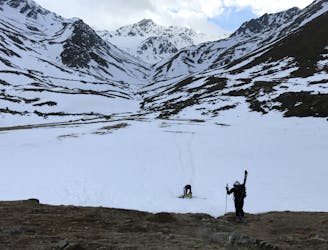
Day 3: A huge mountain day with shorter variants
Difficult Ski Touring
6.5 km away
Day 1: A lift assisted positioning day with numerous options
Moderate Ski Touring
7 routes · Ski Touring