5 m away
Tremalzo Tour and Cima Avèz
A beautiful loop through some wonderfully serene mountains
Moderate Hiking
- Distance
- 13 km
- Ascent
- 644 m
- Descent
- 643 m
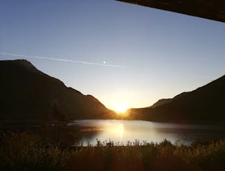
A short but spectacular roundtrip from the Tremalzo Pass
Hiking Moderate

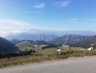
If you only have a couple of hours and want to see what the fuss around the Tremalzo Pass is all about, this little hike will clear things up. Park at the pass and follow the clear, bumpy jeep track north-east underneath Monte Tremalzo. As soon as you start walking the col due west of Corno della Marogna is immediately visible, as is the notch just below the mountain's summit.

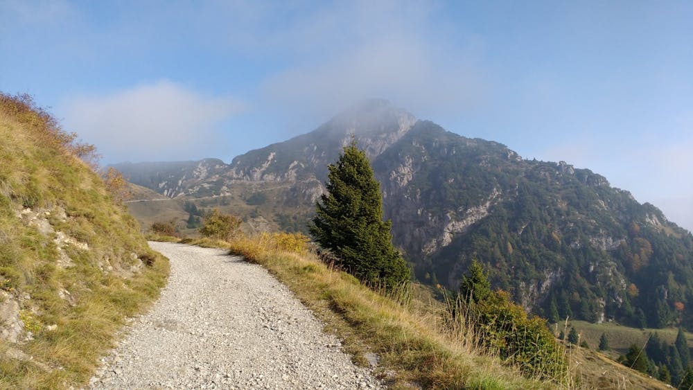
Follow the jeep track as it climbs very gently towards the col. The views from the track are excellent, and you'll feel detached from civilisation within a few hundred metres.
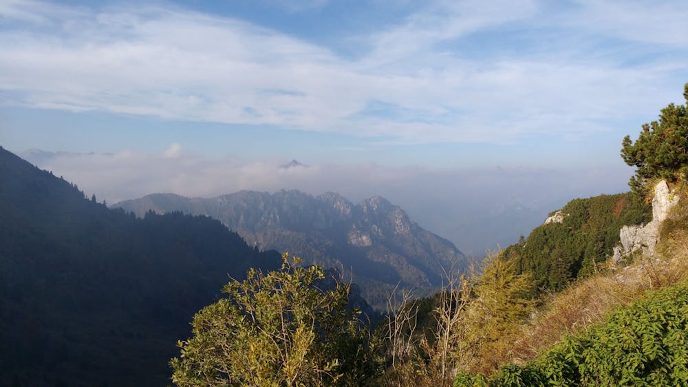
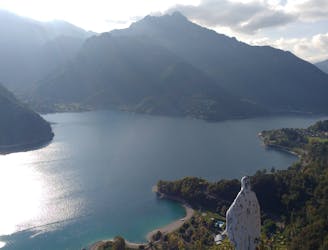
Upon reaching the col the track steepens and climbs up to the notch, from where there is an excellent view down to the east and towards Cima Tuflungo. Turn due south from the notch and follow a good but relatively steep path to the summit of Corno della Marogna. The view is breathtaking and you'll have a clear vista across the middle section of Lake Garda - the largest lake in Italy. It is also quite surprising, once you find yourself high enough to comprehend it, just how expansive and undulating the Trentino and Lombardy regions are. This area of Italy is known for its lakes and it is easy to forget just how mountainous it is until you find yourself on a summit like Corno della Marogna.
Having soaked in the views and snapped plenty of photos, descend via the same route back to the Tremalzo Pass. The welcoming mountain refuge at the Pass serves an excellent array of drinks and food so indulge in some famous Italian hospitality before driving back down to the real world!
Moderate
Hiking along trails with some uneven terrain and small hills. Small rocks and roots may be present.

The trail contains some obstacles such as outcroppings and rock which could cause injury.
Away from help but easily accessed.
5 m away
A beautiful loop through some wonderfully serene mountains
Moderate Hiking
7.2 km away
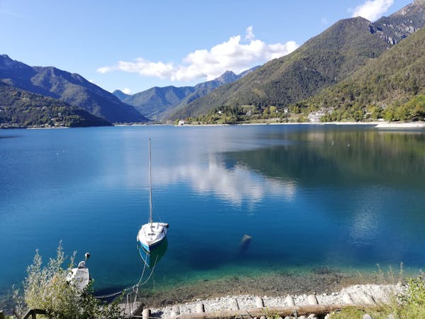
A classic little hike which provides a fabulous view across Lago di Ledro.
Moderate Hiking
7.2 km away
An easy and scenic tour of a beautiful Italian lake
Easy Hiking
5 routes · Mountain Biking · Hiking