Anello Punte Ostanetta e Razil da Rucas
Rucas di Bagnolo
Beautiful trip from Rucas di Bagnolo to Punta Ostanetta and Punta Razil.
Hiking Moderate
- Distance
- 10 km
- Ascent
- 871 m
- Descent
- 872 m
- Duration
- 3-4 hrs
- Low Point
- 1.5 km
- High Point
- 2.4 km
- Gradient
- 16˚

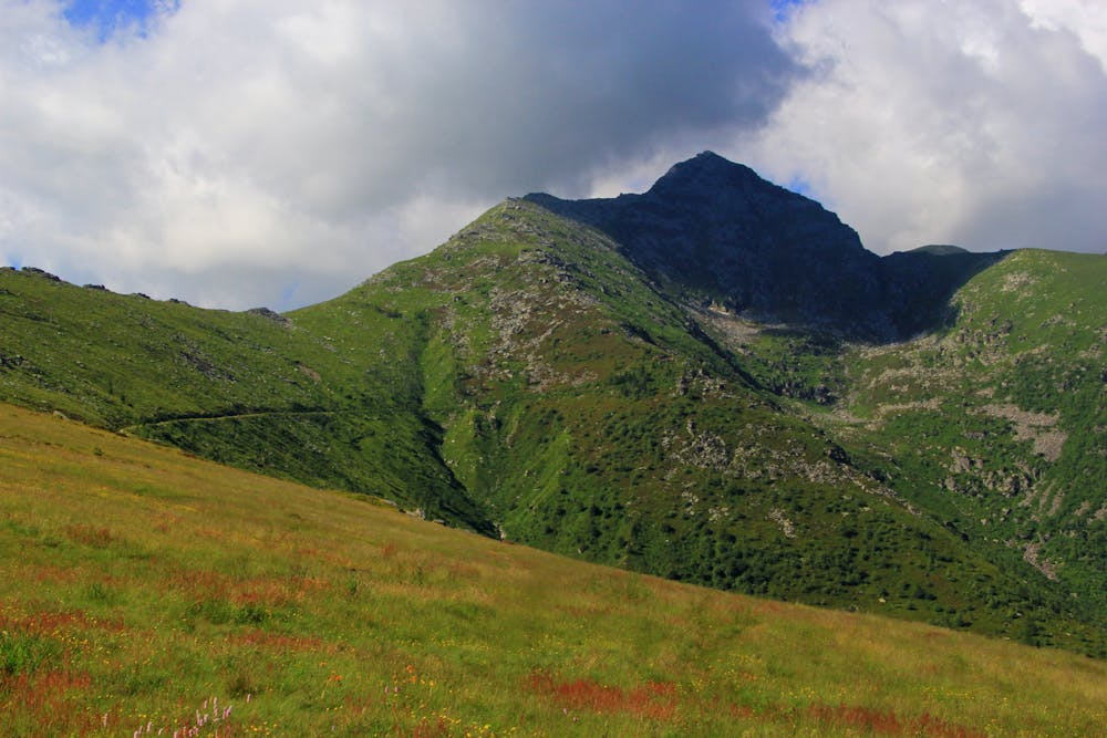
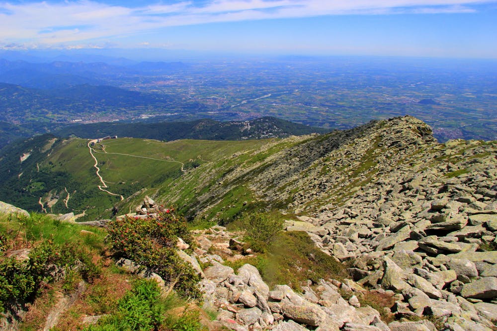
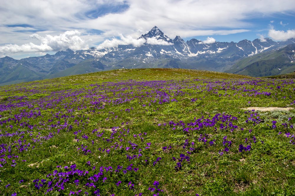
This trip starts from the very small alpine village of Rucas (Bagnolo Piemonte). Going upward across the ski slopes, it is possible to pass through field full of alpine rhododendron (in June), and reaching Punta Ostanetta, where the view wides to the entire piedmontese Pianura Padana. From the near Punta Razil, the famous Monviso dominates the scende towards south.
- •
- •
- •
Difficulty
Moderate
Hiking along trails with some uneven terrain and small hills. Small rocks and roots may be present.
High Exposure

Some trail sections have exposed ledges or steep ascents/descents where falling could cause serious injury.
Remoteness

Away from help but easily accessed.
Best time to visit
Features
- Alpine
- Picturesque
- Summit Hike
- Wild flowers