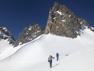
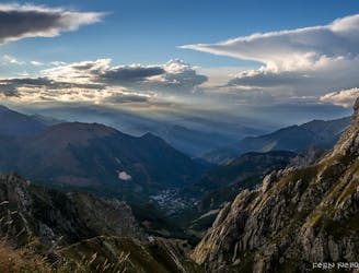
97 routes · Ski Touring · Mountain Biking · Hiking · Alpine Climbing
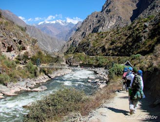
Go hiking in Cuneo with curated guides of the best hikes across the region. With over 125 3D trail maps in FATMAP, you can easily discover and navigate the best trails in Cuneo.
No matter what your next adventure has in store, you can find a guide on FATMAP to help you plan your next epic trip.
Get a top hiking trail recommendation in Cuneo from one of our 4 guidebooks, or get inspired by the 125 local adventures uploaded by the FATMAP community. Start exploring now!
97 routes · Ski Touring · Mountain Biking · Hiking · Alpine Climbing

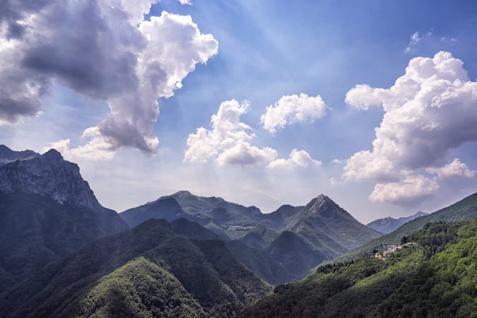
26 routes · Hiking
12 routes
7 routes

3 routes
3 routes
1 routes
1 routes
Stage 3 of the magnificent high alpine trail through Liguria.
Difficult Hiking
Stage 2 of the magnificent high alpine trail through Liguria.
Difficult Hiking
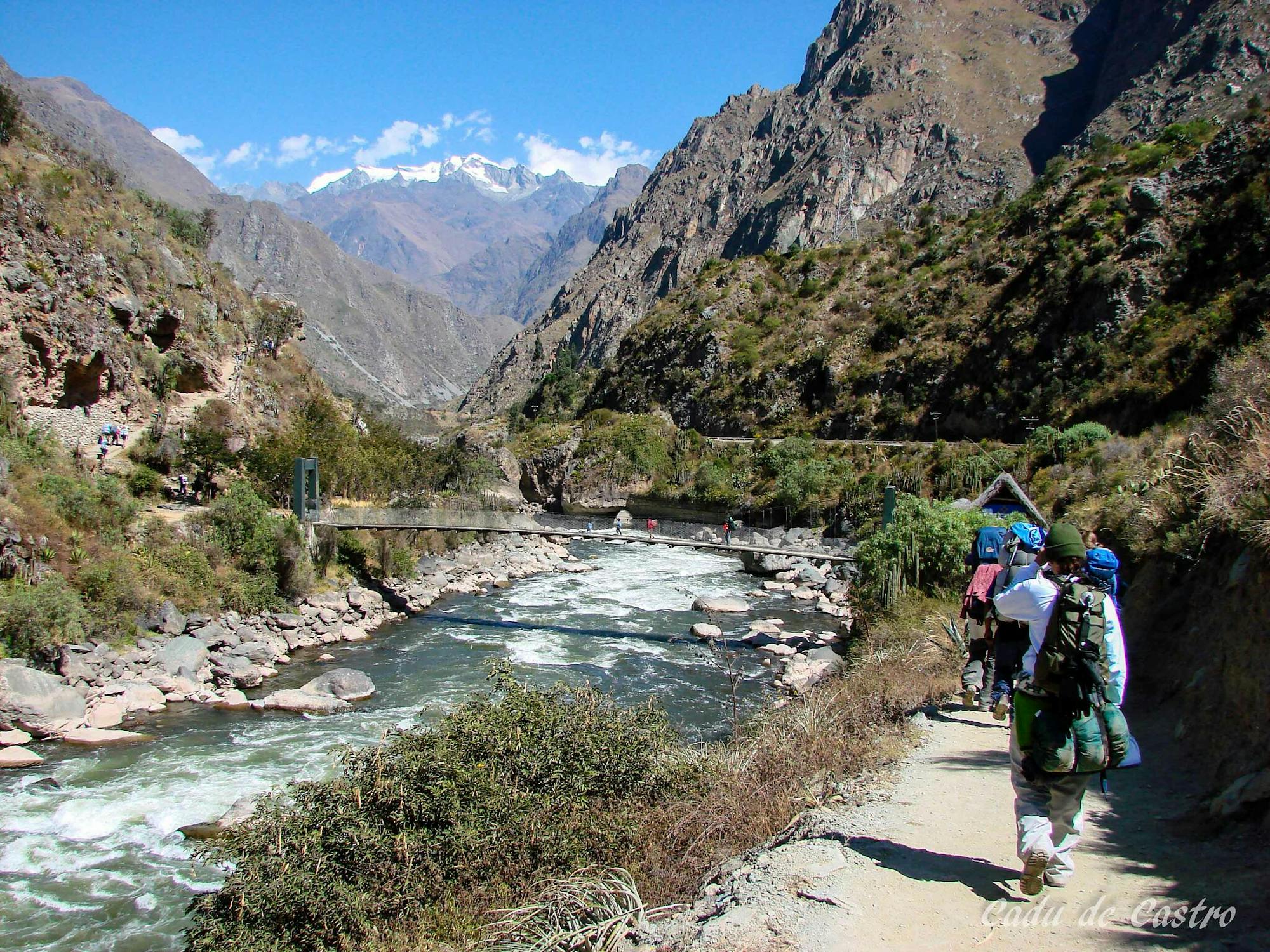
Day 1 of the Grande Traversate delle Alpi (GTA), the famous long-distance hiking trail across the Italian Alps.
Difficult Hiking
Day 2 of the 7 day Via Alpina Red itinerary from the italian Alps down to Monaco.
Moderate Hiking
The first stage of the Via Alpina 7 day itinerary from the mountain village of Limone Piemonte down to the Mediterranean.
Easy Hiking

The HRP of the Alpes across France, Switzerland and Italie
Difficult Hiking

Da Villar San Costanzo a Sant’Anna di Roccabruna
Moderate Hiking

Anello impegnativo EE
Moderate Hiking
7 routes · Hiking
5 routes · Hiking
8 routes · Hiking