6.7 km away
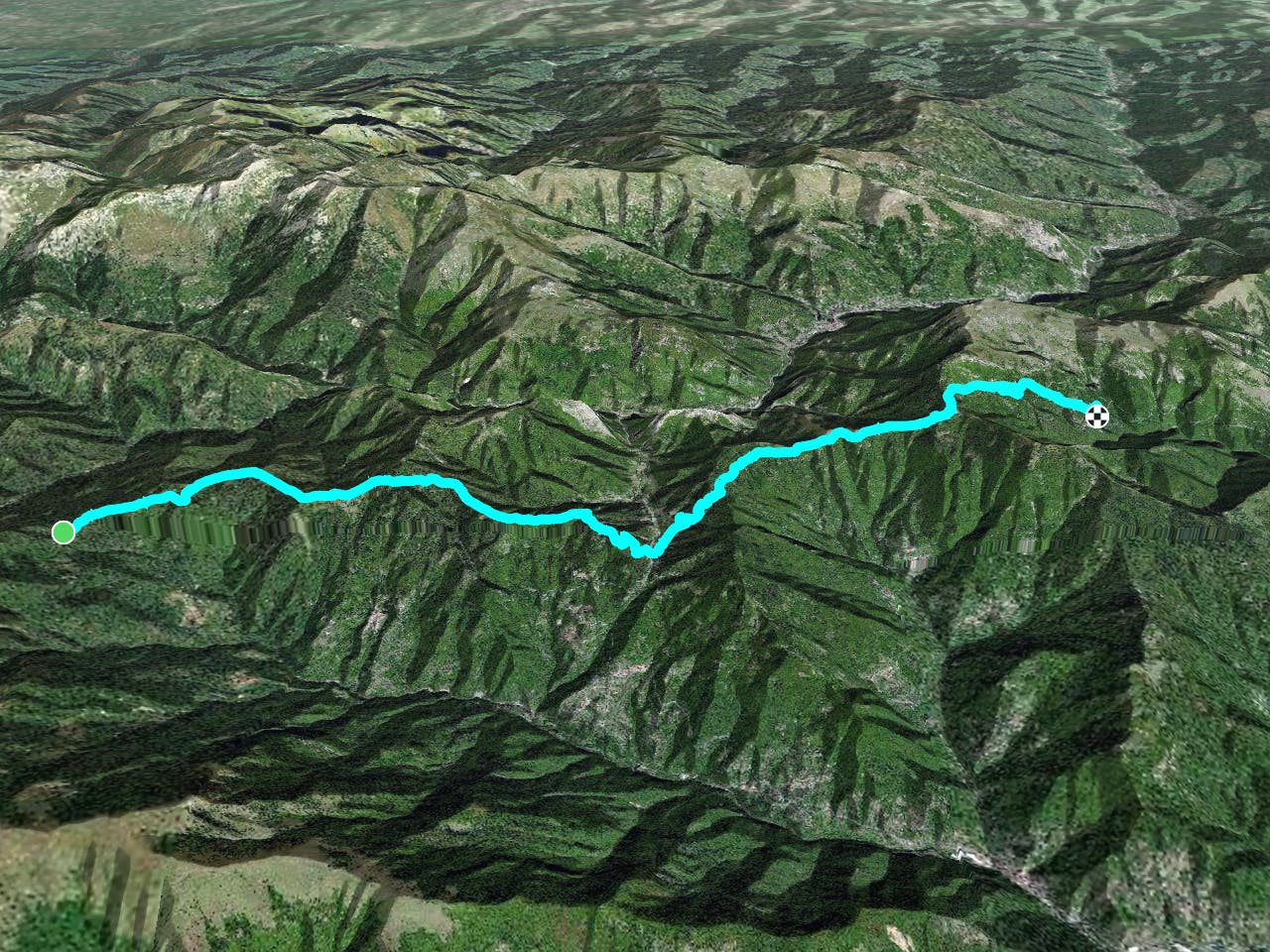
Viozene to Rifugio Garelli
Day 1 of the Grande Traversate delle Alpi (GTA), the famous long-distance hiking trail across the Italian Alps.
Difficult Hiking
- Distance
- 14 km
- Ascent
- 1.4 km
- Descent
- 702 m
Stage 2 of the magnificent high alpine trail through Liguria.
Also in Cuneo, Italy
Hiking Difficult
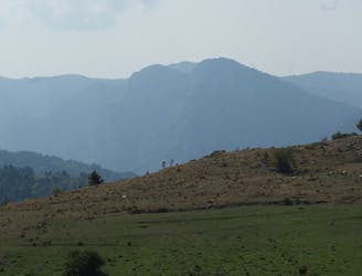
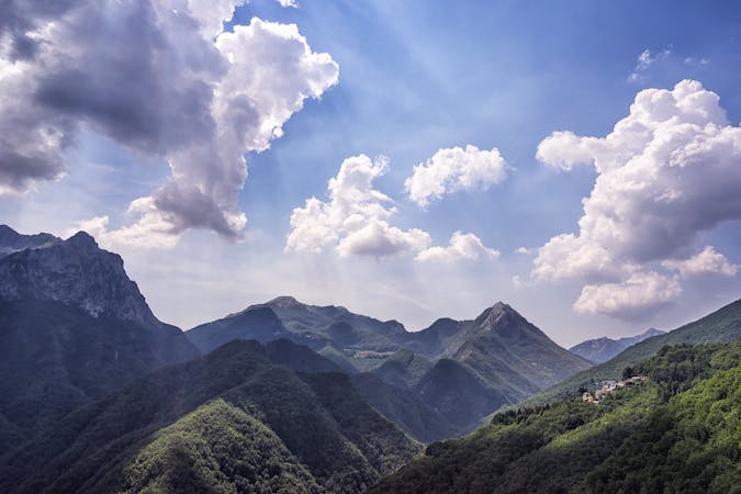
This stage of the Alta Via Dei Monti Liguri climbs into the heart of the Ligurian Alps and takes you to the highest point along the whole long-distance trail, Mount Saccarello (2201m). Stop and enjoy sweeping views across the Ligurian Sea before heading down to the east side of the summit, where you will find a cast-iron statue of the Redeemer, a testament to Italy’s Catholic heritage. Continue on through alpine meadows carpeted with bright pink rhododendron flowers and dense coniferous forests, looking out for the classic alpine fauna as you go: marmots, hare, chamois, and martens. This section of the route ends in Caprauna, a charming town in Piedmont where tourist accommodation is easy to find. Sources https://www.cailiguria.it/AVML/portale/it/alpiliguri.html https://www.italymagazine.com/caprauna
Difficult
Hiking trails where obstacles such as rocks or roots are prevalent. Some obstacles can require care to step over or around. At times, the trail can be worn and eroded. The grade of the trail is generally quite steep, and can often lead to strenuous hiking.

Some trail sections have exposed ledges or steep ascents/descents where falling could cause serious injury.

Away from help but easily accessed.
6.7 km away
Day 1 of the Grande Traversate delle Alpi (GTA), the famous long-distance hiking trail across the Italian Alps.
Difficult Hiking
5 routes · Hiking
8 routes · Hiking