6.7 km away
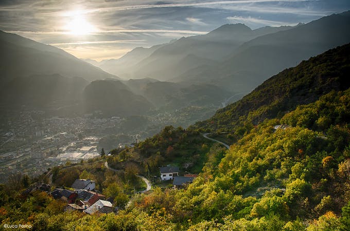
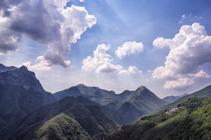
Alta Via Dei Monti Liguri: San Bernardo di Mendatica to Caprauna
Stage 2 of the magnificent high alpine trail through Liguria.
Difficult Hiking
- Distance
- 21 km
- Ascent
- 794 m
- Descent
- 1.1 km
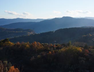
Day 1 of the Grande Traversate delle Alpi (GTA), the famous long-distance hiking trail across the Italian Alps.
Hiking Difficult

Hike from the remote village of Viozene in Piedemot up a total of 1240m and down 520m to the spectacularly-located Rifugio Garelli. It’s a long day’s hiking with a lot of vertical challenges. But like every great hike, you’ll come to realise that all the struggle has been well worth it once you reach the quaint and very hospitable Rifugio Garelli. Hopefully you'll get there in time for a dramatic sunset, for which the hut is perfectly positioned to enjoy.
The first hurdle of the trip comes in getting to Viozene, which is not served by public transport. If you are without a car you may need to extend your hike a little by beginning at the neighbouring hamlet of Ponte di Nava, where the nearest bus stop is located.
From Viozene, the trail takes you through a string of mountain huts. The first hut is Rifugio Mongioie, where the route remains relatively flat, as it coils around the lower slopes of the mountain towards Rifugio Ciarlo Bossi. You then start to climb up to Colle delle Saline, and on towards Rifugio Mondovi. The last leg of the day is a rambling up and down trail, which eventually descends down to the idyllic Rifugio Garelli.
Sources
https://gta-trek.eu/index.php/stages?start=0 http://www.alpenquerung.info/Alpenueberquerung/GTA-Grande-Traversata-delle-Alpi
Difficult
Hiking trails where obstacles such as rocks or roots are prevalent. Some obstacles can require care to step over or around. At times, the trail can be worn and eroded. The grade of the trail is generally quite steep, and can often lead to strenuous hiking.

The trail contains some obstacles such as outcroppings and rock which could cause injury.
Away from help but easily accessed.
6.7 km away
Stage 2 of the magnificent high alpine trail through Liguria.
Difficult Hiking
5 routes · Hiking
8 routes · Hiking