9 km away
Monte Alpe

A challenging half day hike to a beautiful viewpoint, and an even more challenging climb to the top of Monte Alpe with a tough bushwack down the ridge.
Extreme Hiking
- Distance
- 9.9 km
- Ascent
- 922 m
- Descent
- 923 m

Stage 3 of the magnificent high alpine trail through Liguria.
Also in Savona, Italy
Hiking Difficult

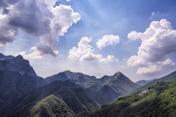
On this stretch of the route, you climb above the Val Tanaro and Val Pennavaire, following the ridge-line along Mt. Galero (1704m), the Rocca Barbena (1140m), and Mt. Carmo di Loano (1389m). Due to the microclimate of the area, many colourful nordic species thrive, creating vibrant alpine meadows of rhododendron, dwarf juniper, and blueberry. The stretch after Mt. Carmo takes you through the vast Melogno beech forest before finishing up this stage in the province of Savona, where you can diverge from the main hiking route to break in the small town of Mallare. Sources

Difficult
Hiking trails where obstacles such as rocks or roots are prevalent. Some obstacles can require care to step over or around. At times, the trail can be worn and eroded. The grade of the trail is generally quite steep, and can often lead to strenuous hiking.
9 km away

A challenging half day hike to a beautiful viewpoint, and an even more challenging climb to the top of Monte Alpe with a tough bushwack down the ridge.
Extreme Hiking

8 routes · Hiking