9 km away
Alta Via Dei Monti Liguri: Caprauna to Mallare
Stage 3 of the magnificent high alpine trail through Liguria.
Difficult Hiking
- Distance
- 56 km
- Ascent
- 2.9 km
- Descent
- 3 km
A challenging half day hike to a beautiful viewpoint, and an even more challenging climb to the top of Monte Alpe with a tough bushwack down the ridge.
Hiking Extreme

This epic mountain climb begins at the beautifully restored medieval town of Colletta di Castelbianco. "The origins of the settlement go back to the thirteenth century," according to Misha Gopaul, CEO, Cofounder of FATMAP.com. "The village was completely uninhabited for about the last thirty years," but it was the subject of a recent restoration project, according to Gopaul.
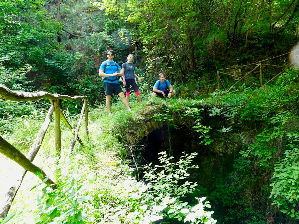
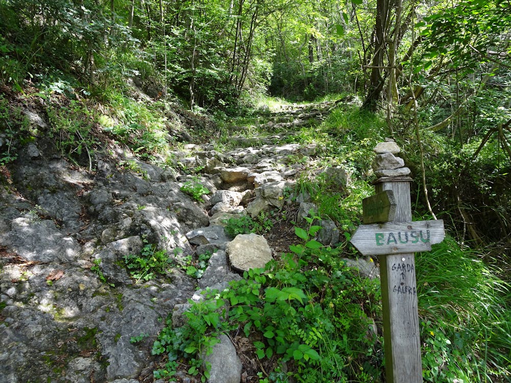
The hike begins on beautiful trails that cross a stream near Colletta, climbing steeply up the hillside through rocky switchbacks. After passing through a mostly abandoned town that hasn't seen renovation work similar to what has taken place in Colletta, the true climb begins in earnest, running straight up the mountainside on singletrack paved with ancient natural cobblestones.
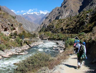
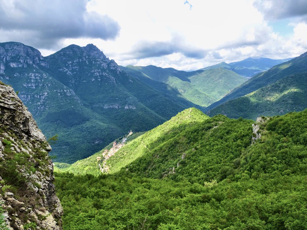
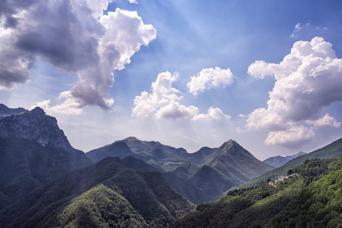
If you carry on past the junction with the loop trail and climb straight up the mountainside, you can bushwhack and scramble to a gorgeous overlook of the valley from the top of a cliff—see the route's hero image.
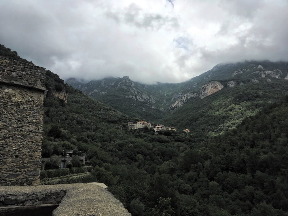
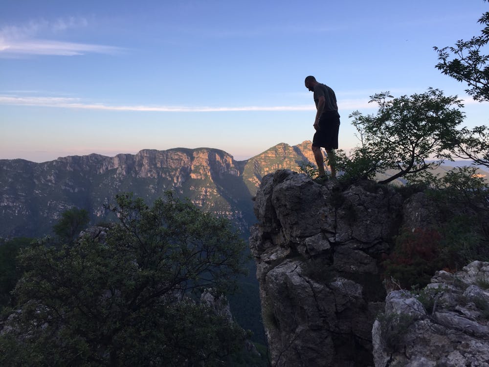
For a full day hike with an even more incredible view and challenging climb, turn left onto the mapped loop and finish climbing to the top of Monte Alpe, with a summit soaring to 1056 meters above the Mediterranean Sea far, far below. The climb to the top of Monte Alpe follows very steep cobblestone paths that get steeper and steeper as you climb. Trees along the trail provide convenient means of stabilization.
Once you break out of the thick undergrowth and reach the jaw-dropping view on top of the mountain, you can either return by the same path, or the most ambitious climbers can choose to traverse the ridgeline down to another singletrack trail. While faint trails exist along the ridge, very little is marked or maintained in this area, creating a wild hiking/climbing experience.
Once back on the singletrack, complete the upper loop and return by the same path down the mountainside.
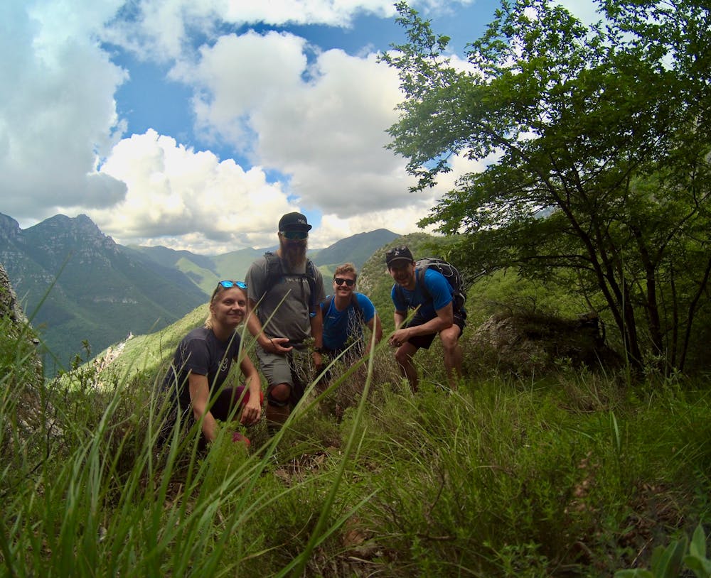
Whether you choose the half day or the full day route, both hikes provide a significant challenge, incredible views, and a unique perspective on the history of this ancient region.
Extreme
Scrambling up mountains and along technical trails with moderate fall exposure. Handholds are necessary to navigate the trail in its entirety, although they are not necessary at all times. Some obstacles can be very large and difficult to navigate, and the grades can often be near-vertical. The challenge of the trail and the steepness of the grade results in very strenuous hiking. Hikes of this difficulty blur the lines between "hiking" and "climbing".

Some trail sections are extremely exposed where falling will almost certainly result in serious injury or death.

Little chance of being seen or helped in case of an accident.
9 km away
Stage 3 of the magnificent high alpine trail through Liguria.
Difficult Hiking
8 routes · Hiking