20 routes · Mountain Biking
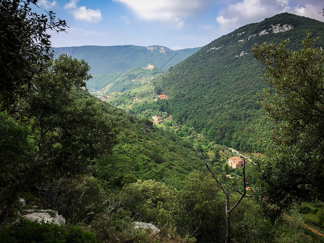
Go hiking in Savona with curated guides of the best hikes across the region. With over 29 3D trail maps in FATMAP, you can easily discover and navigate the best trails in Savona.
No matter what your next adventure has in store, you can find a guide on FATMAP to help you plan your next epic trip.
Get a top hiking trail recommendation in Savona from one of our 5 guidebooks, or get inspired by the 29 local adventures uploaded by the FATMAP community. Start exploring now!
20 routes · Mountain Biking
6 routes

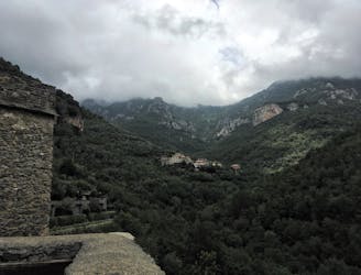
Stage 4 of the magnificent high alpine trail through Liguria.
Difficult Hiking
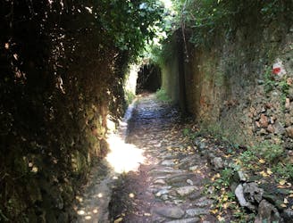
Stage 3 of the magnificent high alpine trail through Liguria.
Difficult Hiking
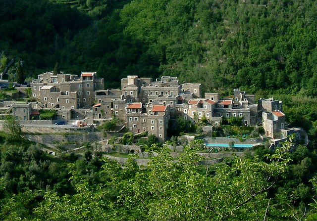
A loop hike passing by two of Finale Ligure's best castles.
Moderate Hiking
A challenging half day hike to a beautiful viewpoint, and an even more challenging climb to the top of Monte Alpe with a tough bushwack down the ridge.
Extreme Hiking
Alternative high route from Colletta to Oresine
Moderate Hiking

Anello di Conscenteco vista sulla piana
Easy Hiking
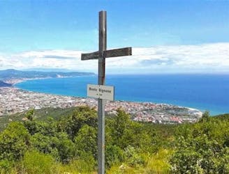
Salita al Monte Bignone da Santa Croce (Alassio)
Easy Hiking
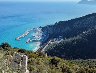
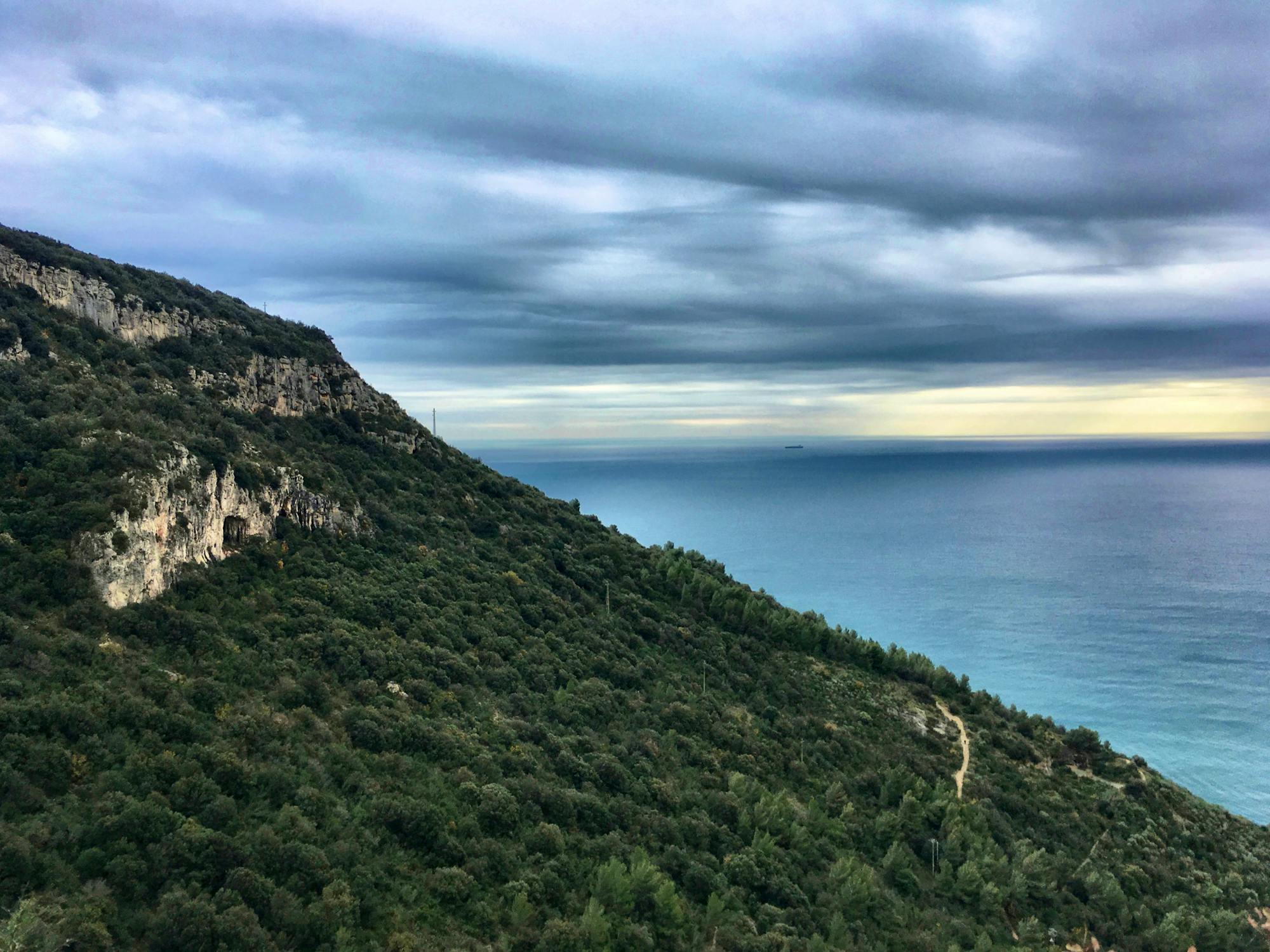
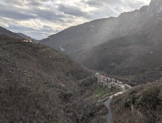
A terrace on the sea
Moderate Hiking
3 routes · Hiking
8 routes · Hiking