3.5 km away
Via Alpina: Limonetto to Castérino
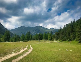
Day 2 of the 7 day Via Alpina Red itinerary from the italian Alps down to Monaco.
Moderate Hiking
- Distance
- 16 km
- Ascent
- 849 m
- Descent
- 596 m
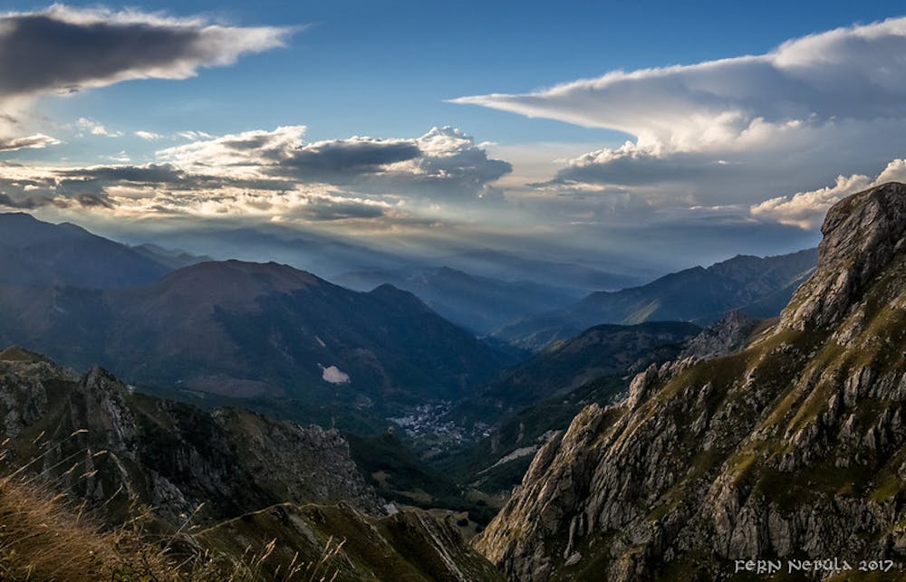
The first stage of the Via Alpina 7 day itinerary from the mountain village of Limone Piemonte down to the Mediterranean.
Hiking Easy

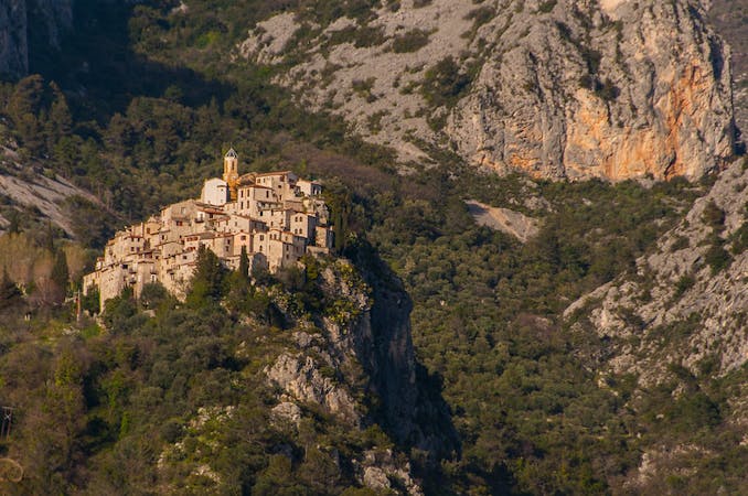
After taking the Train des Merveilles from Nice-Ville station through the Paillon and Roya-Bévéra Valleys up to the medieval charm of Tende, where you'll stop for lunch, you'll hop back on the train and head across the border to the Italian border town of Limone. Here is where the hiking begins! It's a 6km trail leading you up through the tiny settlement of Tetti Meci to the charming village of Limonetto, where you can lodge in the Rifugio Alpeselle.
Easy
Walking along a well-kept trail that’s mostly flat. No obstacles are present.

The path is on completely flat land and potential injury is limited to falling over.
Close to help in case of emergency.
3.5 km away
Day 2 of the 7 day Via Alpina Red itinerary from the italian Alps down to Monaco.
Moderate Hiking
7 routes · Hiking