cima di fremamorta
Easy and stunnig trekking in a great landscape
Hiking Easy
- Distance
- 11 km
- Ascent
- 961 m
- Descent
- 963 m
- Duration
- 3-4 hrs
- Low Point
- 1.7 km
- High Point
- 2.7 km
- Gradient
- 13˚

This is a popular hiking route which is generally considered to be easy. It's remote, it features medium exposure and is typically done in July, September and November. From a low point of 1.7 km to the maximum altitude of 2.7 km, the route covers 11 km, 961 vertical metres of ascent and 963 vertical metres of descent.
Description
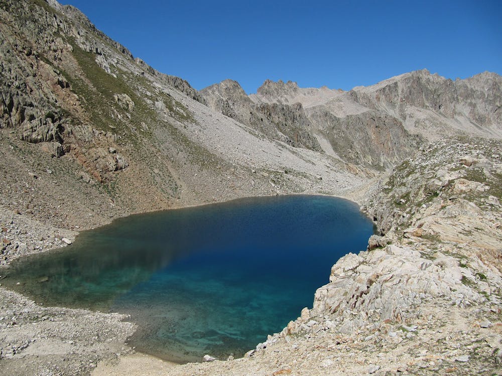
an easy 3 hour trekking that will bring you an amazing landscape, cristal lakes and if you're lucky to find a limpid day, you can see the cote d'azur.
Difficulty
Easy
Walking along a well-kept trail that’s mostly flat. No obstacles are present.
Medium Exposure

The trail contains some obstacles such as outcroppings and rock which could cause injury.
Remoteness
Away from help but easily accessed.
Best time to visit
Features
- Alpine
- Wildlife
- Summit Hike