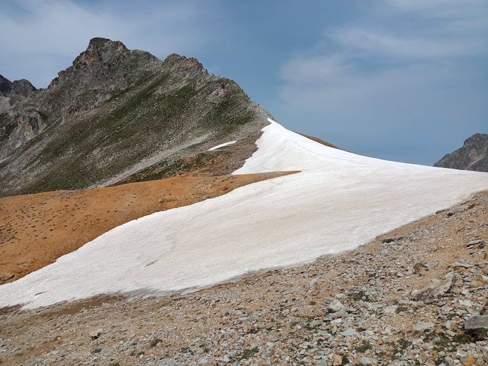
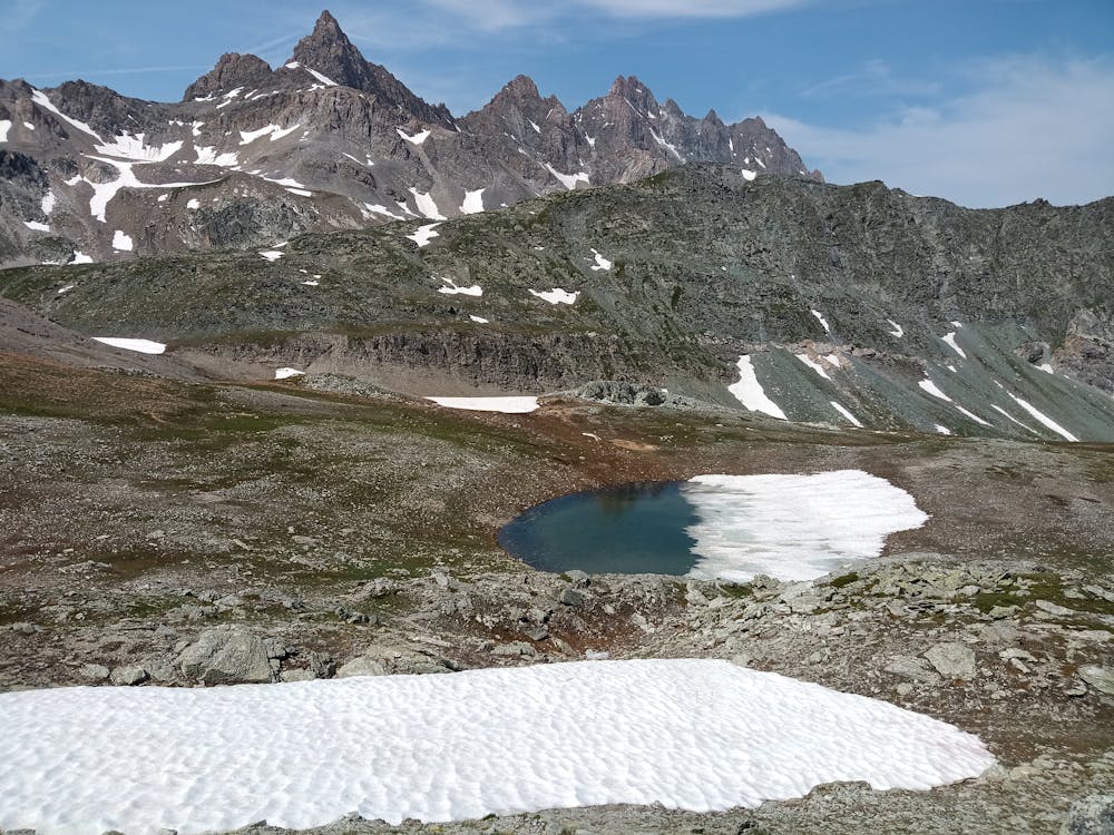
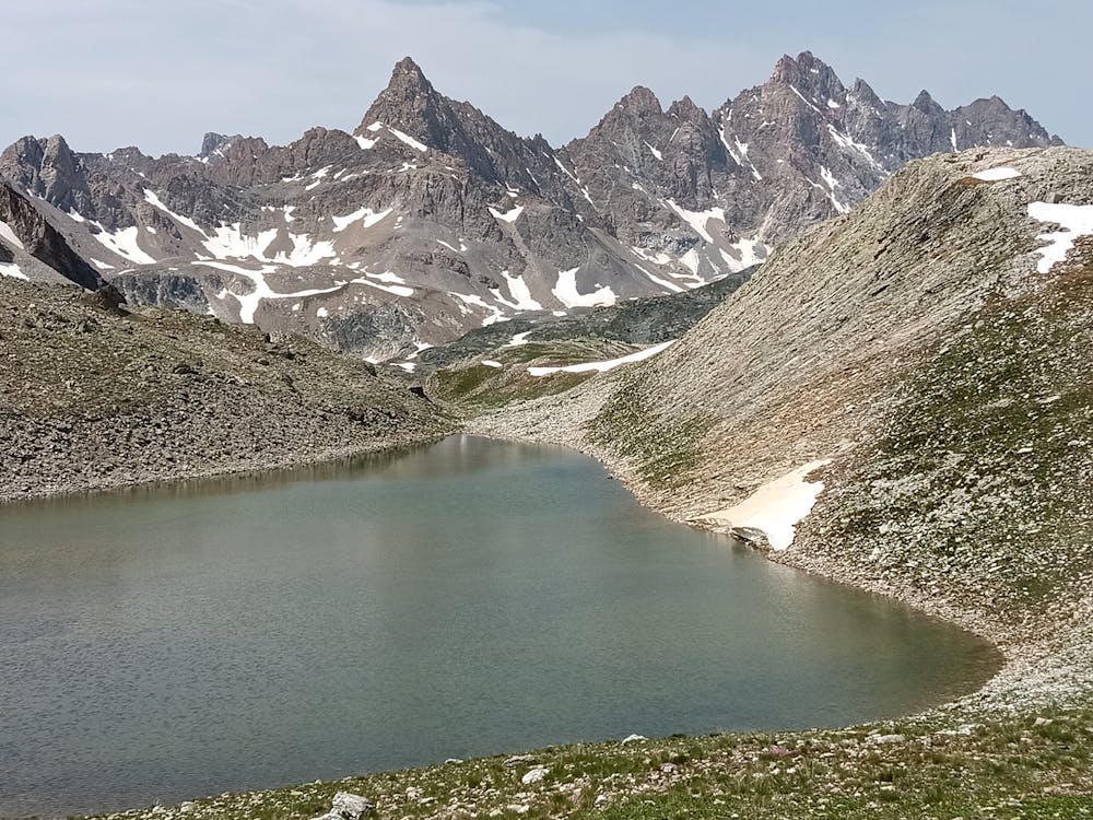
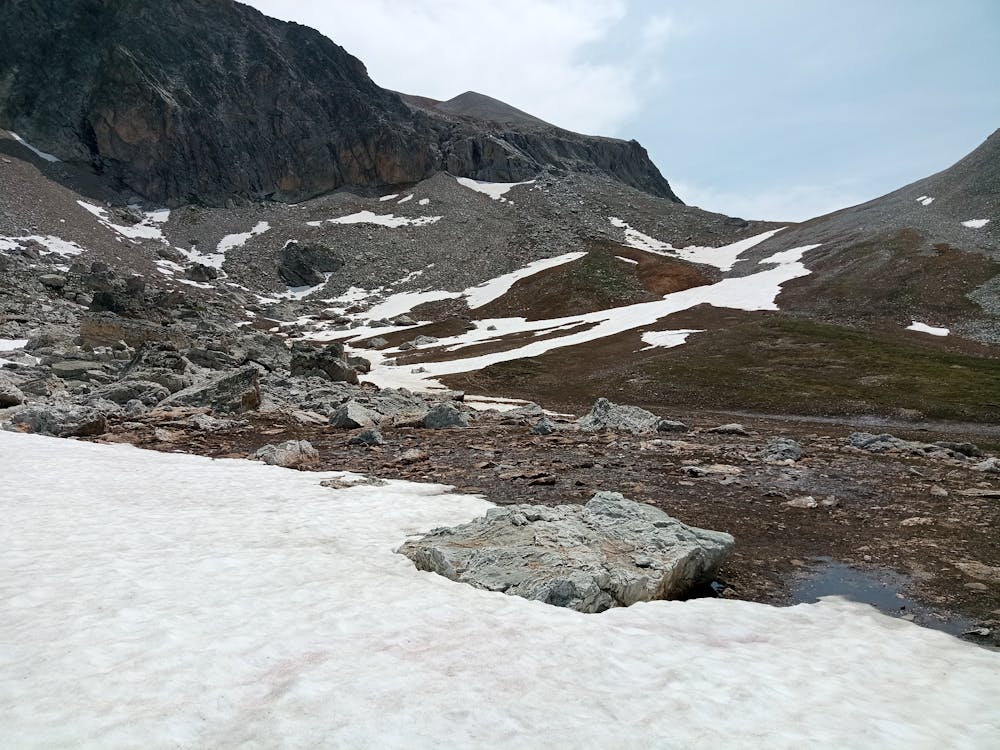
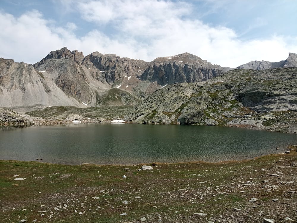
Colle Maurin
Colle Maurin da Campo Base Chiappera (Acceglio, Valle Maira), con rientro dai laghi Roure
Hiking Moderate
- Distance
- 26 km
- Ascent
- 1.6 km
- Descent
- 1.6 km
- Duration
- 7-8 hrs
- Low Point
- 1.6 km
- High Point
- 2.8 km
- Gradient
- 13˚

This is a popular hiking route which is generally considered to be moderate. It's very remote, it features medium exposure and is typically done between June and September. From a low point of 1.6 km to the maximum altitude of 2.8 km, the route covers 26 km, 1580 vertical metres of ascent and 1598 vertical metres of descent.
- •
- •
- •
- •
- •
- •
- •
- •
- •
- •
- •
- •
- •
Description
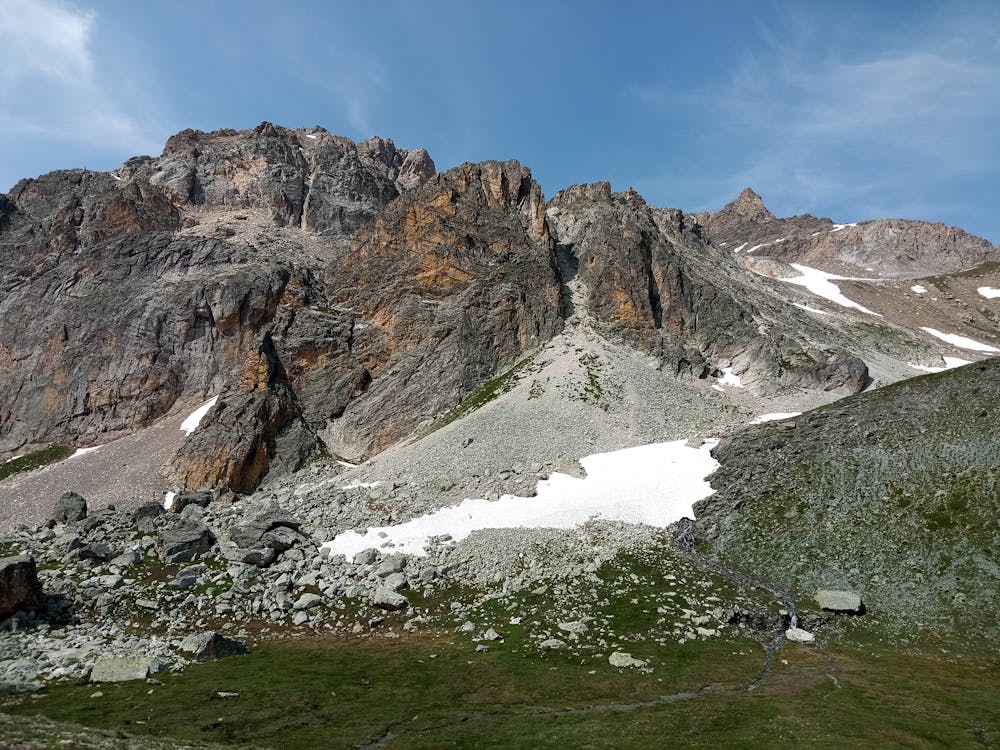
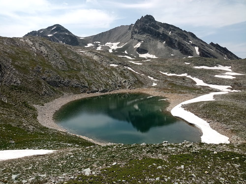
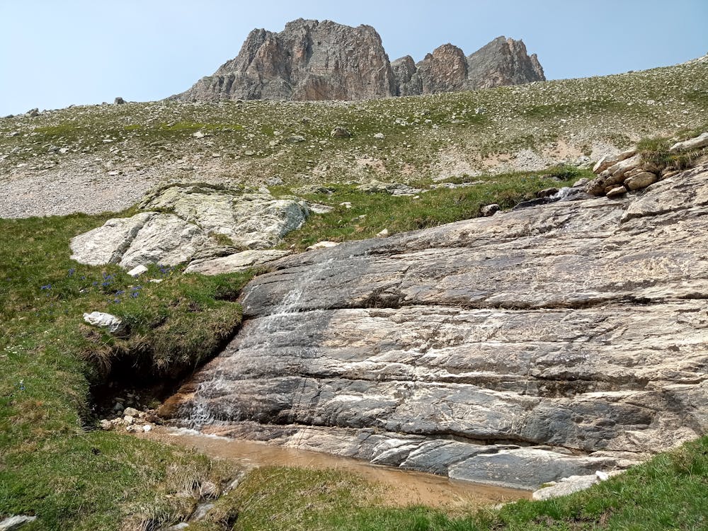
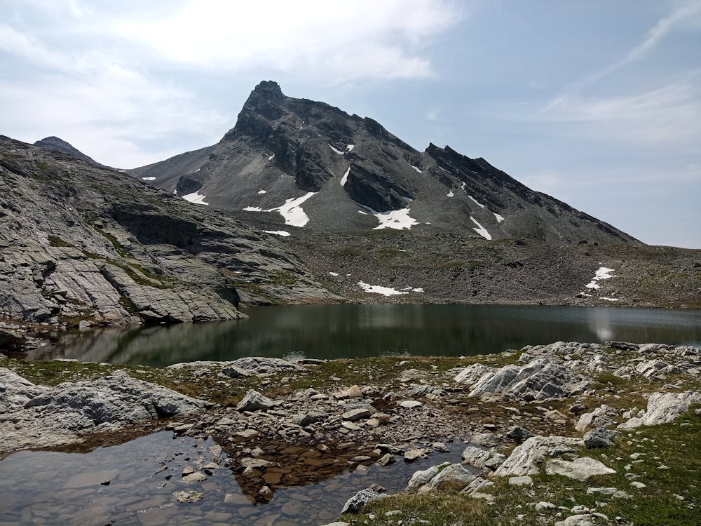
Giro ad anello, passando dal Colle Maurin e dai laghi Roure
Difficulty
Moderate
Hiking along trails with some uneven terrain and small hills. Small rocks and roots may be present.
Medium Exposure

The trail contains some obstacles such as outcroppings and rock which could cause injury.
Remoteness

Little chance of being seen or helped in case of an accident.
Best time to visit
Features
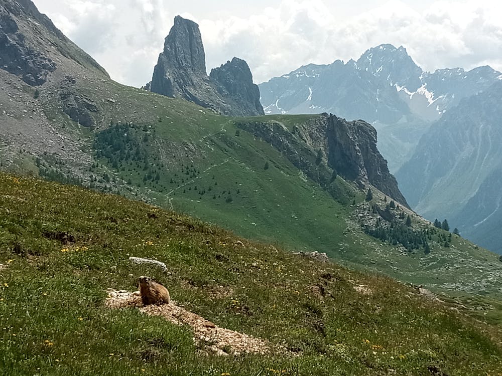
- Alpine
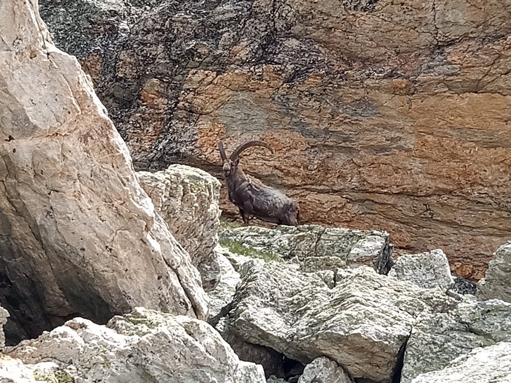
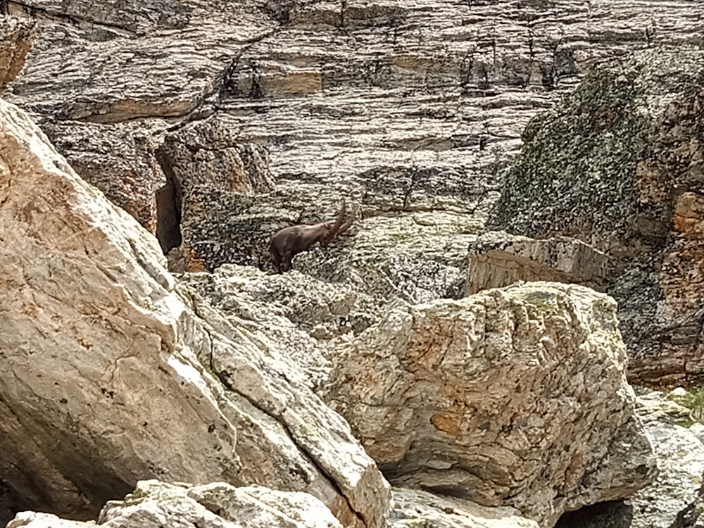
- Wildlife
- Summit Hike
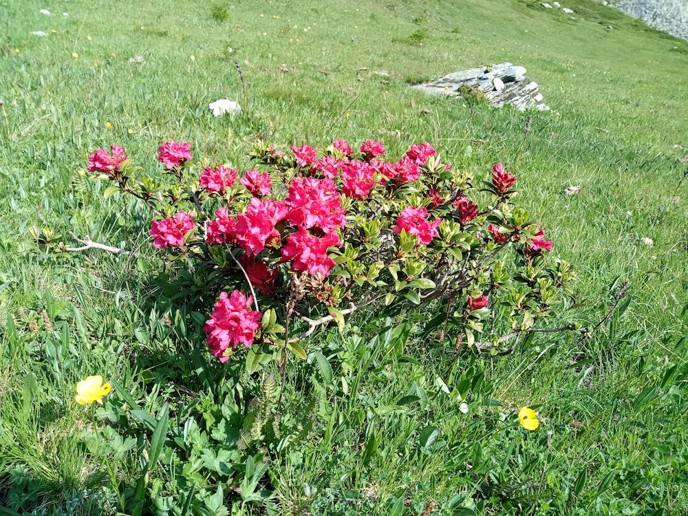
- Wild flowers
- Water features