Pan di Zucchero (Pan de Sucre-Pic d'Asti) by Sergio Prete #backtopuremountain
Pontechianale
Giro del Pic d'Asti con ascesa al Pan di Zucchero
Hiking Moderate
- Distance
- 9.1 km
- Ascent
- 979 m
- Descent
- 979 m
- Duration
- 3-4 hrs
- Low Point
- 2.5 km
- High Point
- 3.2 km
- Gradient
- 20˚
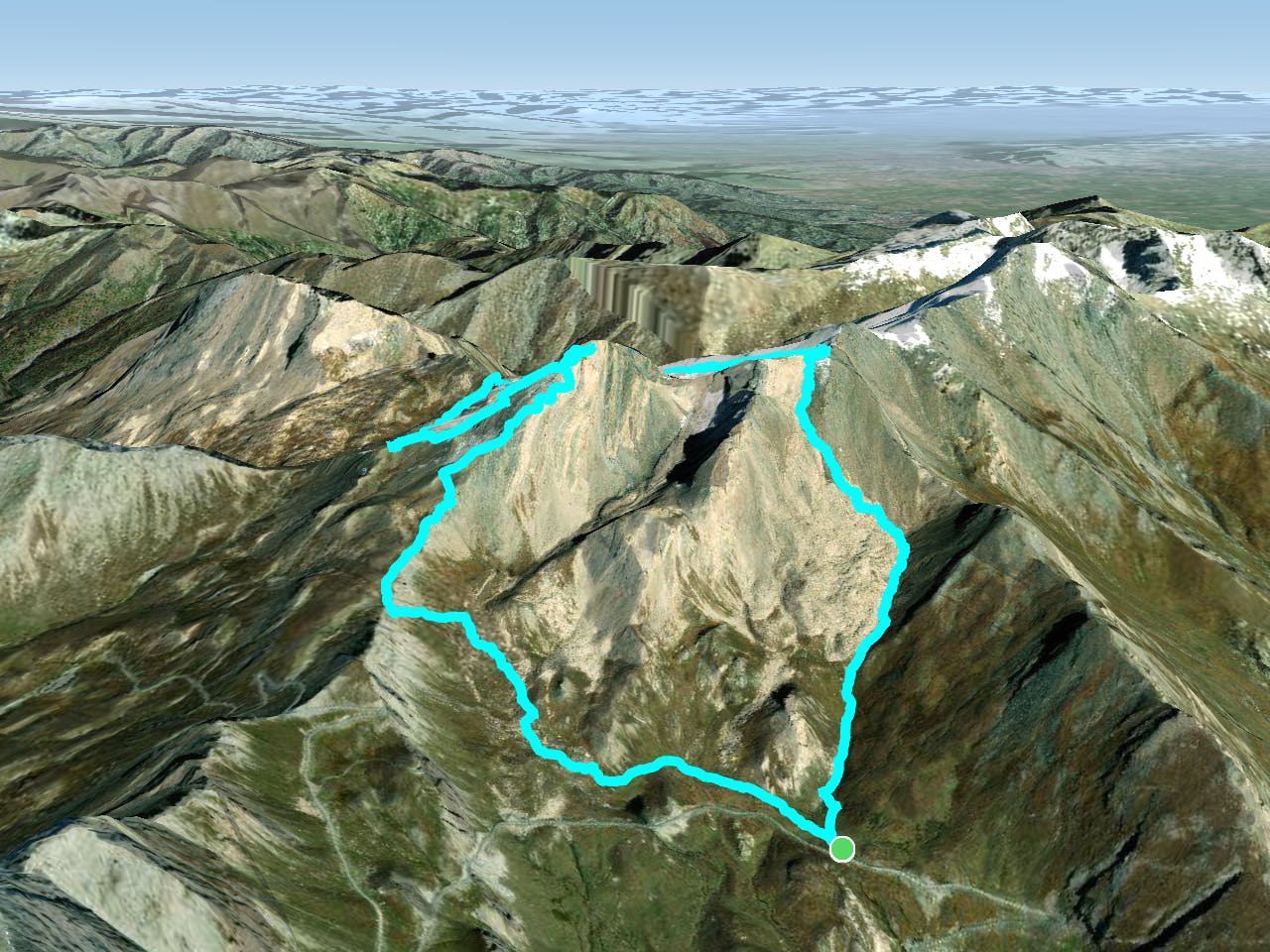
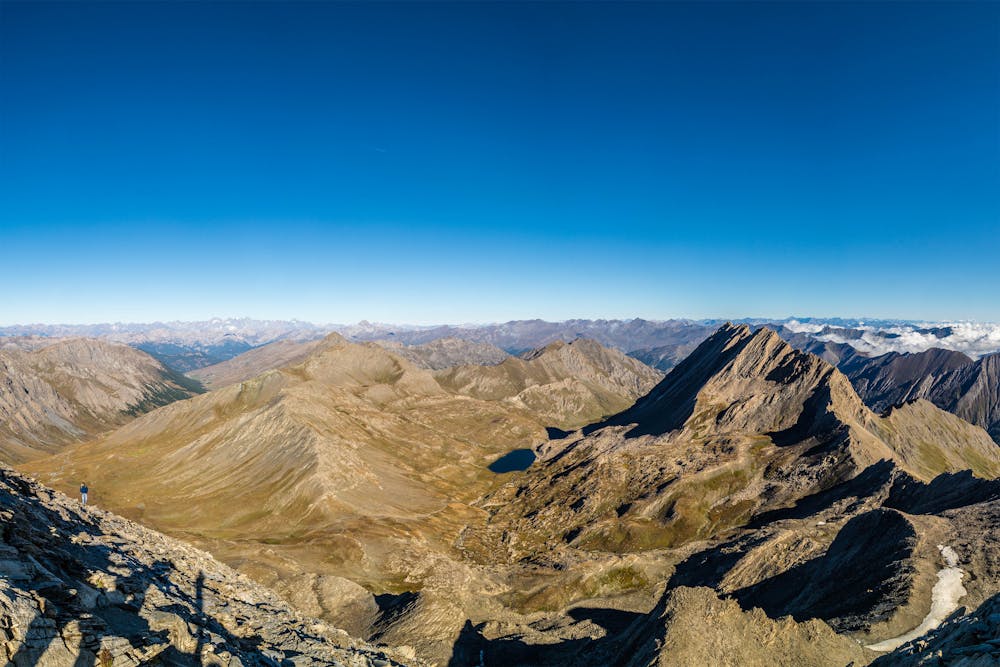
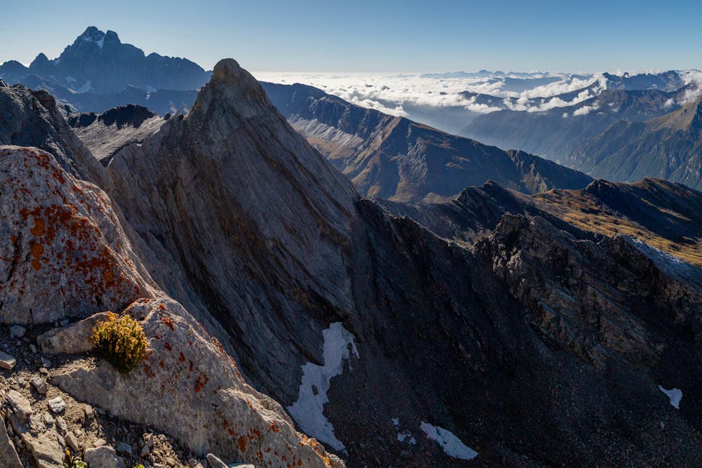
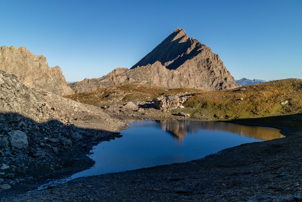
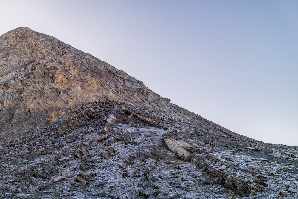
Il Pic d'Asti (3219 m) è uno splendido sperone calcareo situato al termine della valle Varaita di Chianale a est del colle dell'Agnello. La forma ricorda un piccolo Cervino e dalla sommità si ha una veduta spettacolare su buona parte dell'arco alpino. Per l'esposizione e i passaggi da superare (di grado II/III) va affrontato utilizzando adeguata attrezzatura alpinistica.
- •
- •
- •
- •
Difficulty
Moderate
Hiking along trails with some uneven terrain and small hills. Small rocks and roots may be present.
Low Exposure

The path is on completely flat land and potential injury is limited to falling over.
Remoteness

Away from help but easily accessed.
Best time to visit
Features
- Alpine
- Picturesque
- Summit Hike