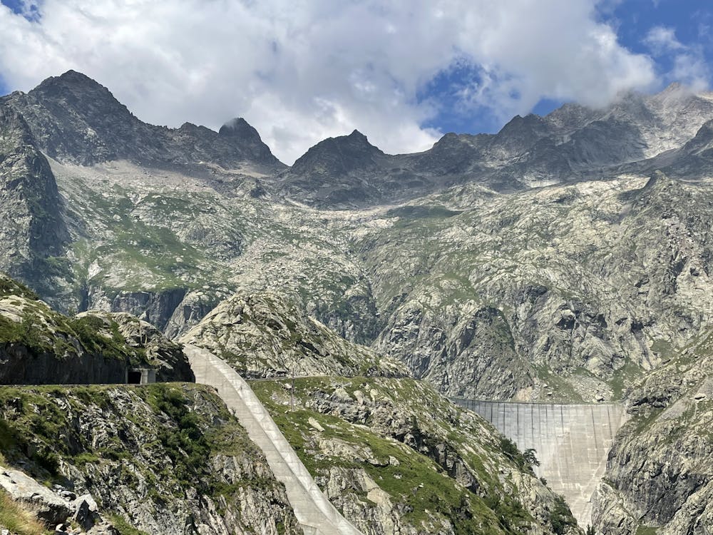
Rifugio Genova al Chiotas
Un viaggio tra le opere ardite della natura e dell'uomo
Hiking Moderate
- Distance
- 8 km
- Ascent
- 949 m
- Descent
- 949 m
- Duration
- 3-4 hrs
- Low Point
- 1.5 km
- High Point
- 2.1 km
- Gradient
- 31˚

This is a popular hiking route which is generally considered to be moderate. It's not remote, it features low exposure and is typically done between June and September. From a low point of 1.5 km to the maximum altitude of 2.1 km, the route covers 8 km, 949 vertical metres of ascent and 949 vertical metres of descent.
Description
Un meraviglioso anfiteatro dominato dalla regina delle Alpi Marittime
Difficulty
Moderate
Hiking along trails with some uneven terrain and small hills. Small rocks and roots may be present.
Low Exposure

The path is on completely flat land and potential injury is limited to falling over.
Remoteness
Close to help in case of emergency.
Best time to visit
Features
- Alpine
- Historical
- Picturesque
- Water features