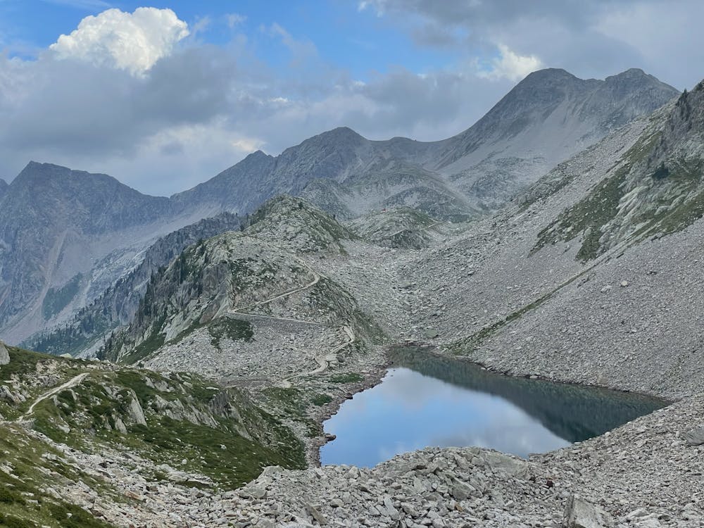
Valasco - Laghi di Fremamorta
Pascoli verdi e paesaggi lunari
Hiking Moderate
- Distance
- 22 km
- Ascent
- 1.3 km
- Descent
- 1.3 km
- Duration
- 6-7 hrs
- Low Point
- 1.4 km
- High Point
- 2.4 km
- Gradient
- 9˚

This is a popular hiking route which is generally considered to be moderate. It's remote, it features low exposure and is typically done between July and September. From a low point of 1.4 km to the maximum altitude of 2.4 km, the route covers 22 km, 1304 vertical metres of ascent and 1306 vertical metres of descent.
Description
Un piccolo viaggio dalla folla alla solitudine. Discesa alternativa al Pian della Casa del Re con l'unico neo di chiudere l'anello con circa 6 km di strada asfaltata.
Difficulty
Moderate
Hiking along trails with some uneven terrain and small hills. Small rocks and roots may be present.
Low Exposure

The path is on completely flat land and potential injury is limited to falling over.
Remoteness

Away from help but easily accessed.
Best time to visit
Features
- Wildlife
- Historical
- Picturesque