8.6 km away
Alta Via Dei Monti Liguri: Creto to Passo della Forcella
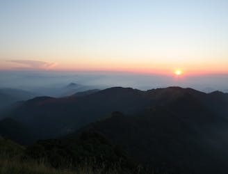
Stage 6 of the magnificent high alpine trail through Liguria.
Difficult Hiking
- Distance
- 42 km
- Ascent
- 2.5 km
- Descent
- 2.2 km
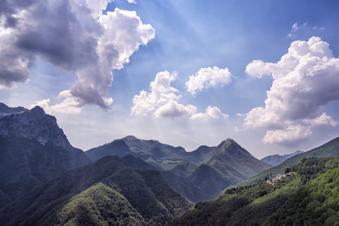
Dall'entroterra al mare, passando diversi tipi di vegetazione
Hiking Difficult

This is a popular hiking route which is generally considered to be difficult. It's not remote, it features medium exposure and is typically done between March and October. From a low point of 4 m to the maximum altitude of 960 m, the route covers 22 km, 1207 vertical metres of ascent and 1292 vertical metres of descent.


Difficult
Hiking trails where obstacles such as rocks or roots are prevalent. Some obstacles can require care to step over or around. At times, the trail can be worn and eroded. The grade of the trail is generally quite steep, and can often lead to strenuous hiking.

The trail contains some obstacles such as outcroppings and rock which could cause injury.

Close to help in case of emergency.
8.6 km away
Stage 6 of the magnificent high alpine trail through Liguria.
Difficult Hiking
8 routes · Hiking