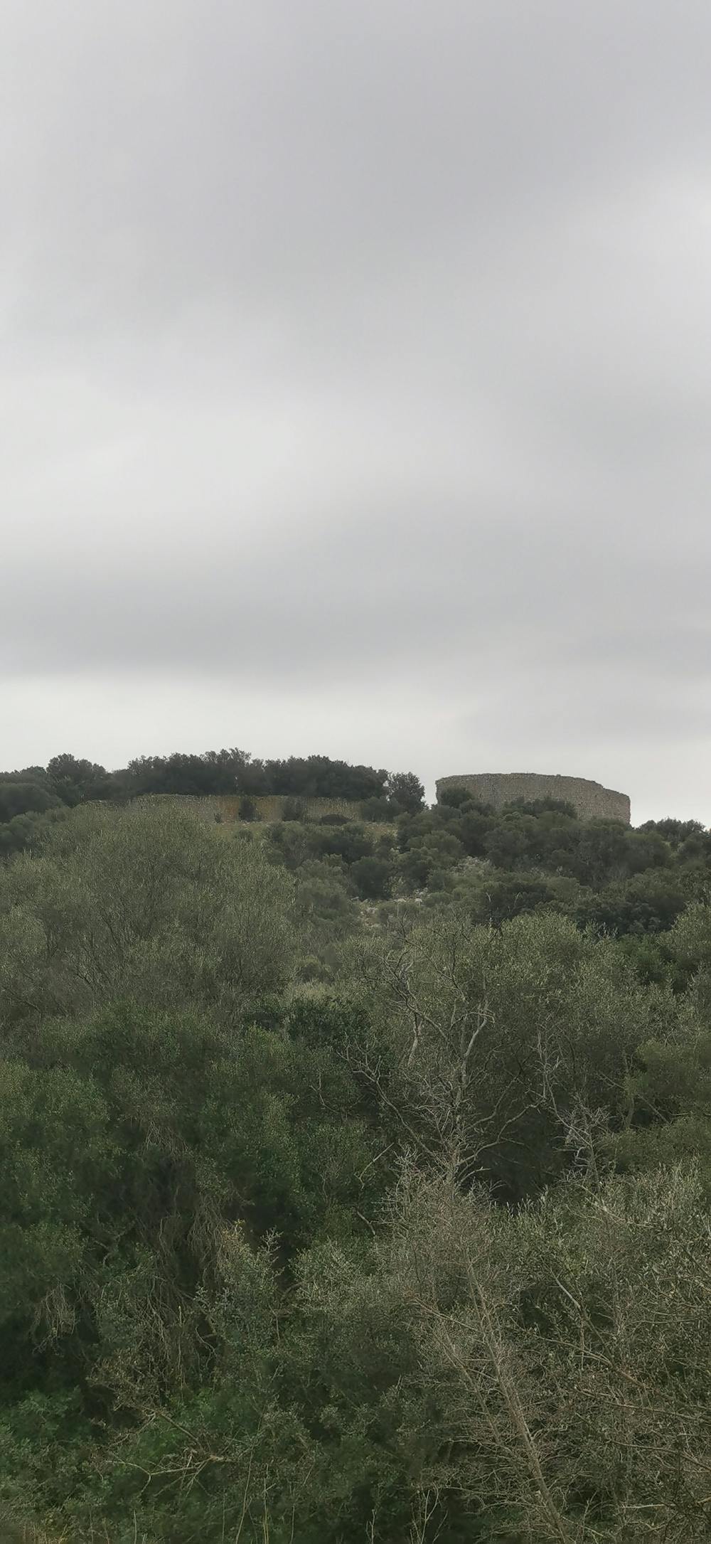
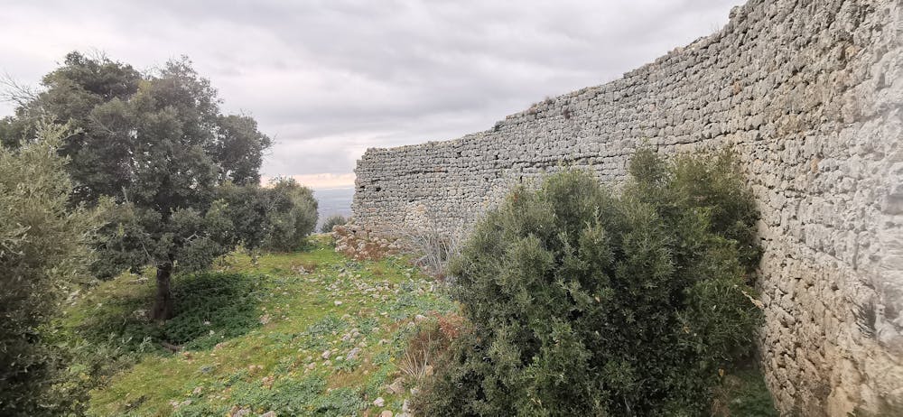
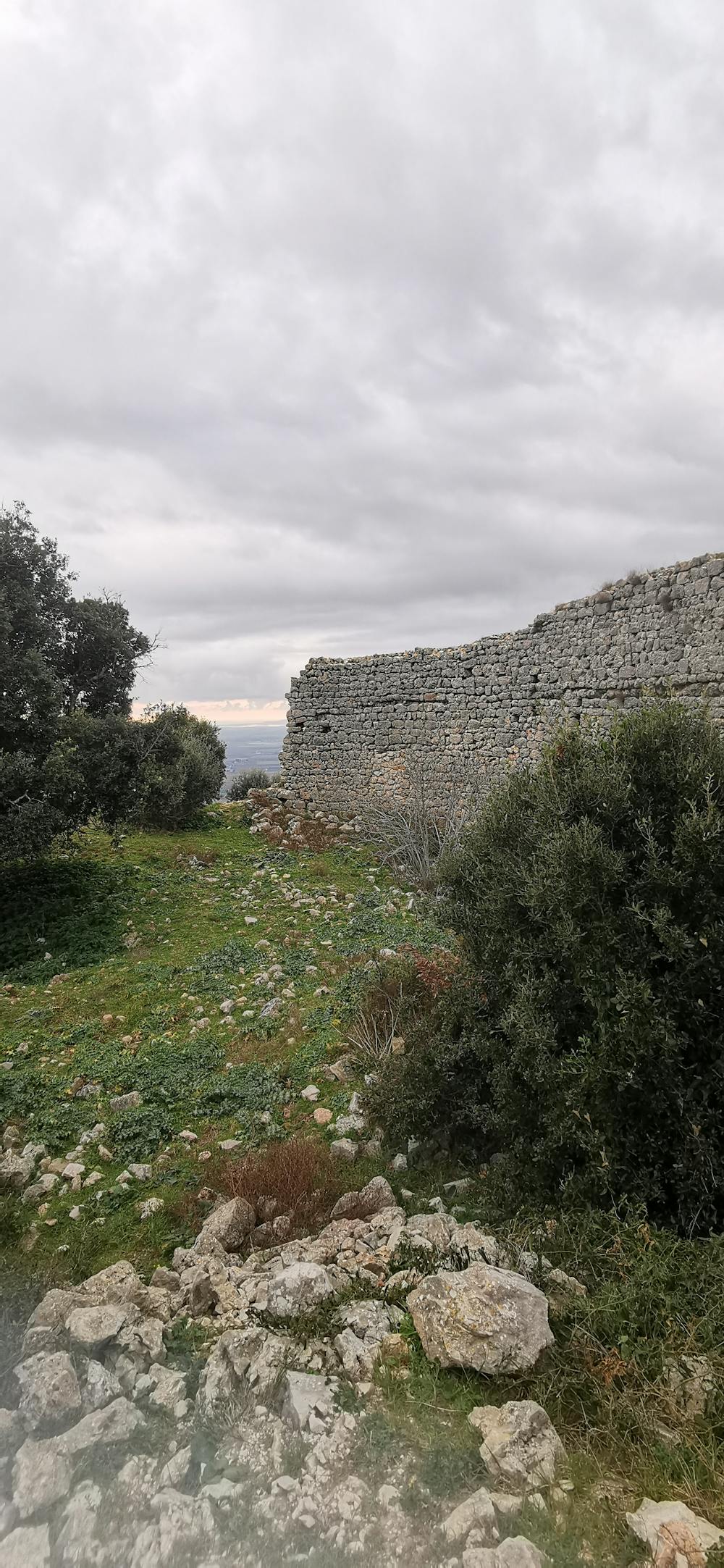
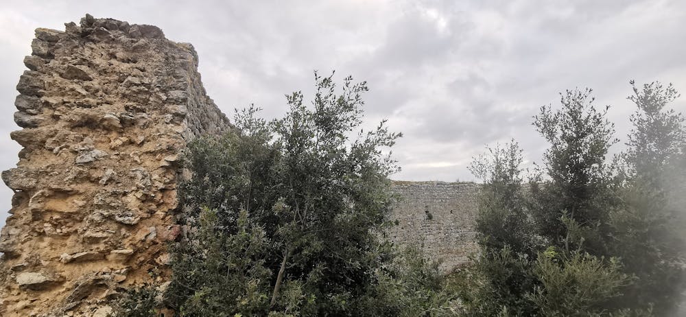
Vallerotana and Rusellæ
❇️Water Memory 1 - Emily A. Sprague
Hiking Extreme
- Distance
- 28 km
- Ascent
- 731 m
- Descent
- 732 m
- Duration
- 6-7 hrs
- Low Point
- 9 m
- High Point
- 313 m
- Gradient
- 17˚

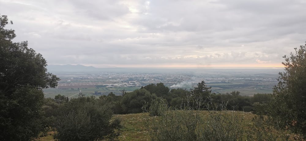
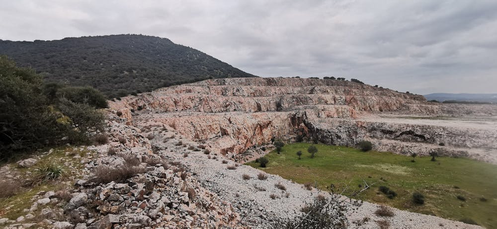
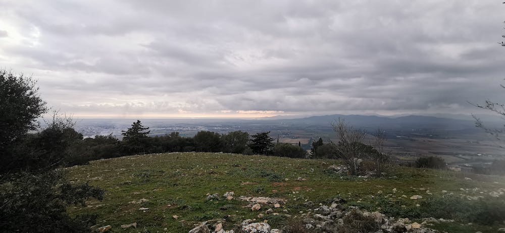
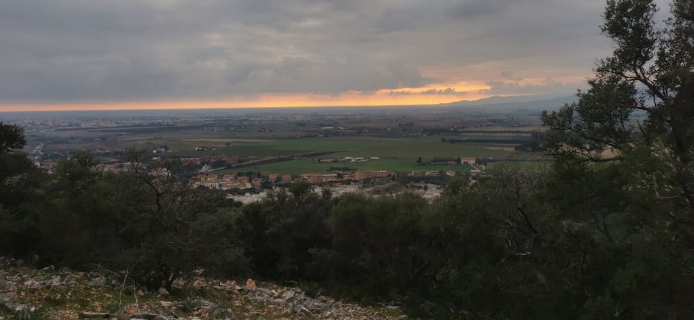
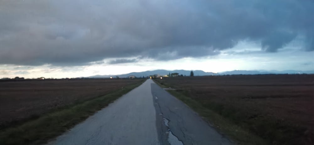
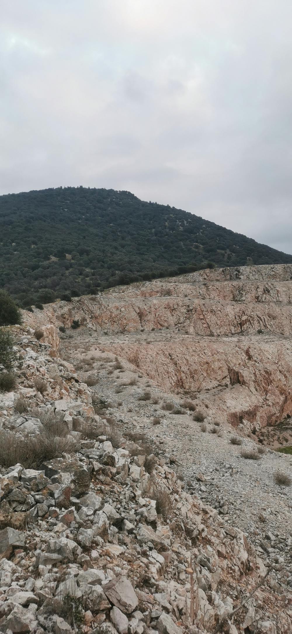
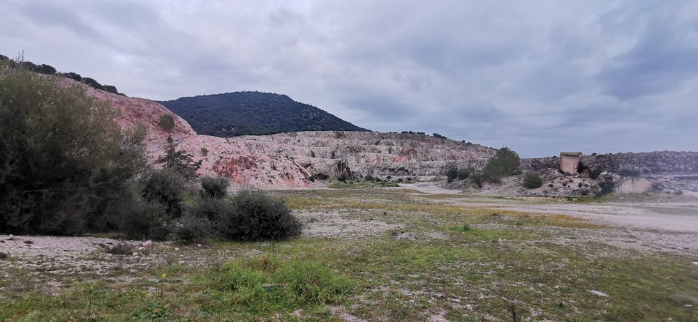
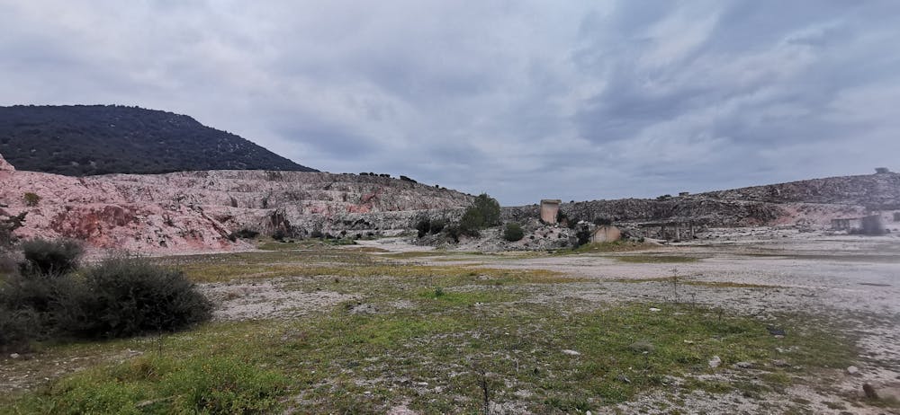
This is a popular hiking route which is generally considered to be extreme. It's remote, it features high exposure and is typically done between February and March. From a low point of 9 m to the maximum altitude of 313 m, the route covers 28 km, 731 vertical metres of ascent and 732 vertical metres of descent.
- •
- •
- •
- •
- •
- •
- •
- •
- •
- •
- •
- •
- •
Description
❇️Water Memory 1 - Emily A. Sprague
Difficulty
Extreme
Scrambling up mountains and along technical trails with moderate fall exposure. Handholds are necessary to navigate the trail in its entirety, although they are not necessary at all times. Some obstacles can be very large and difficult to navigate, and the grades can often be near-vertical. The challenge of the trail and the steepness of the grade results in very strenuous hiking. Hikes of this difficulty blur the lines between "hiking" and "climbing".
High Exposure

Some trail sections have exposed ledges or steep ascents/descents where falling could cause serious injury.
Remoteness

Away from help but easily accessed.
Best time to visit
Features
- Wildlife
- Historical
- Summit Hike
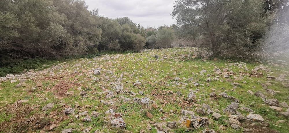
- Forestry or heavy vegetation