Sestaione / Foce di Campolino
A trail on the old ski resort
Hiking Moderate
- Distance
- 8.5 km
- Ascent
- 638 m
- Descent
- 638 m
- Duration
- 2-3 hrs
- Low Point
- 1.3 km
- High Point
- 1.9 km
- Gradient
- 17˚

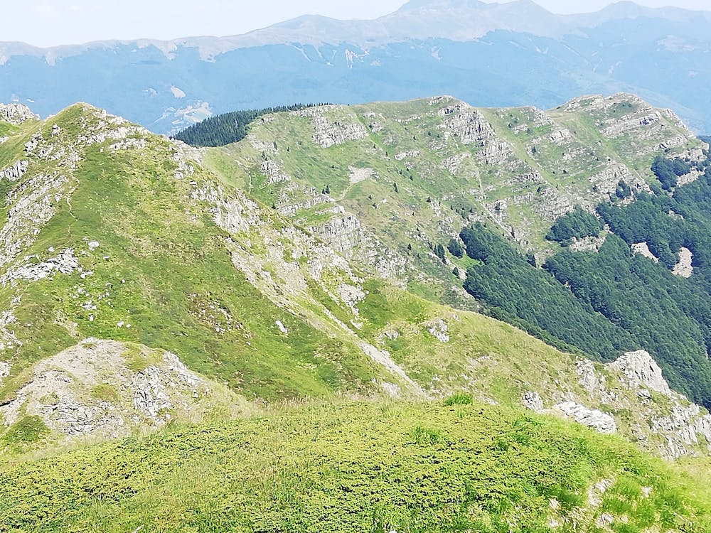
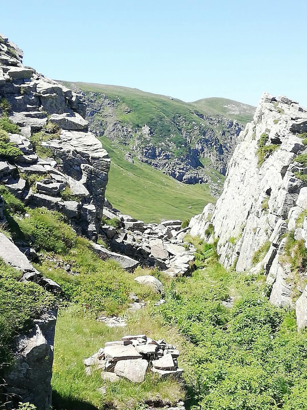
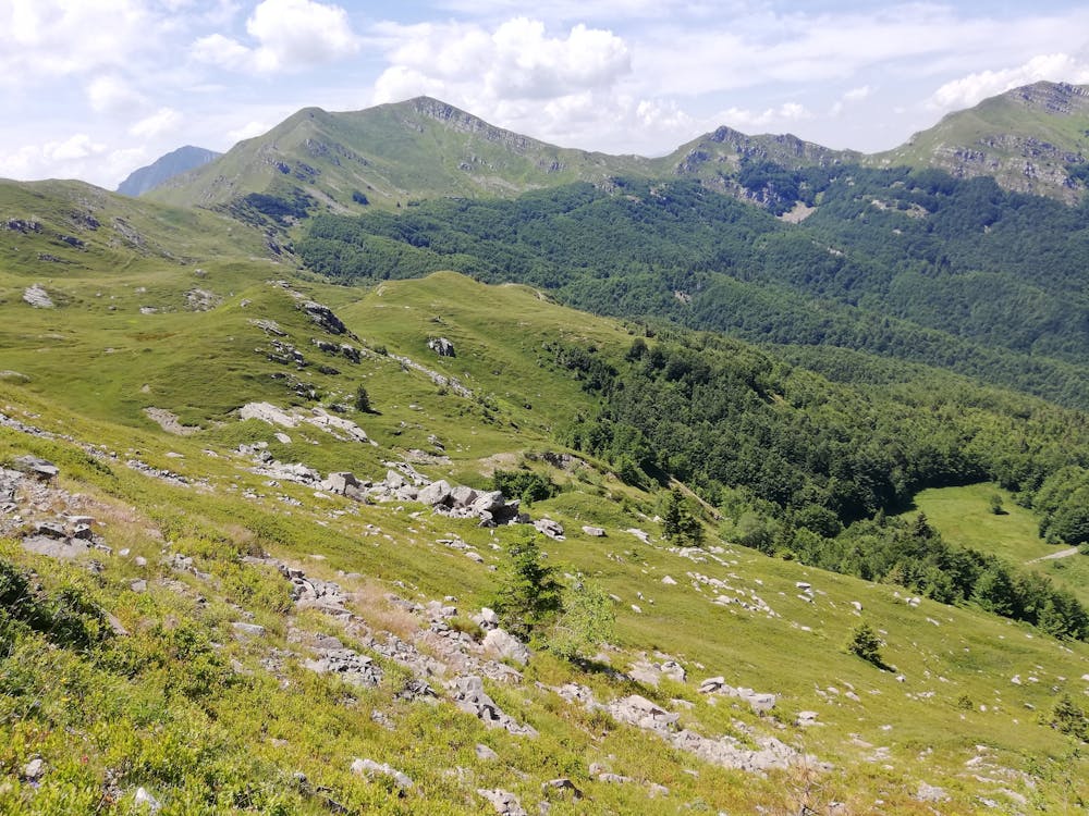
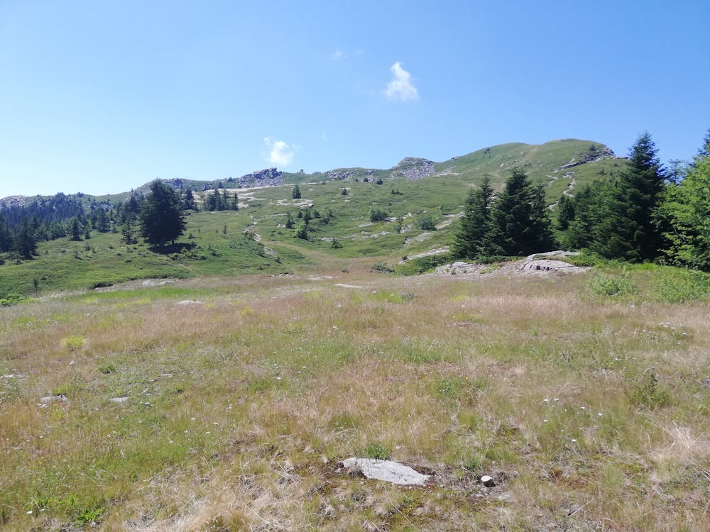
A nice walk through Tuscany Apennines, with its beech and white and red fir trees. Passing on the old skiing itinerary of Campolino (Ski routs until mid 90's) you can reach the top at 1800 meters high . Just the last part a bit exposed, you won't need any alpine equipment. Not crowd itinerary.
- •
- •
- •
- •
Difficulty
Moderate
Hiking along trails with some uneven terrain and small hills. Small rocks and roots may be present.
Medium Exposure

The trail contains some obstacles such as outcroppings and rock which could cause injury.
Remoteness
Away from help but easily accessed.
Best time to visit
Features
- Historical
- Summit Hike
- Dog friendly
- Wild flowers
- Family friendly