26 m away
Jenatsch Hut to Bergün
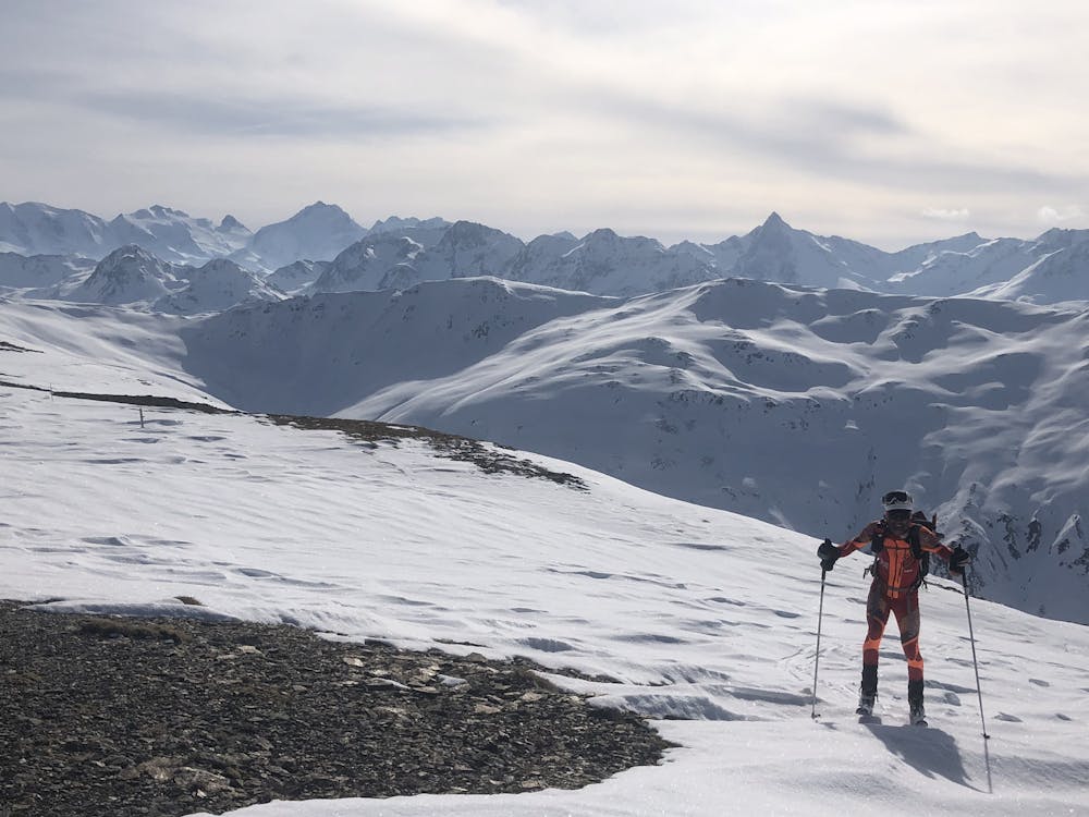
A crucial exposed rising traverse early on, followed by mellow terrain and an amazing 1500m descent
Difficult Ski Touring
- Distance
- 15 km
- Ascent
- 486 m
- Descent
- 1.8 km
And long distance but not excessive vert, traversing into Italy
Also in Graubünden, Switzerland
Ski Touring Moderate

It is unusual to start the day with a long descent, but great to eat up the distance so rapidly and easily after the roadwalk that was the first 3 hours of the previous day! There had been a sprinkling of fresh snow overnight, which made everything look very pretty. Unfortunately it also covered only cosmetically the section of gravel that I skied onto at some speed, with a comedy stack as a result...
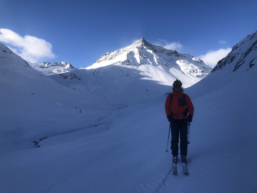
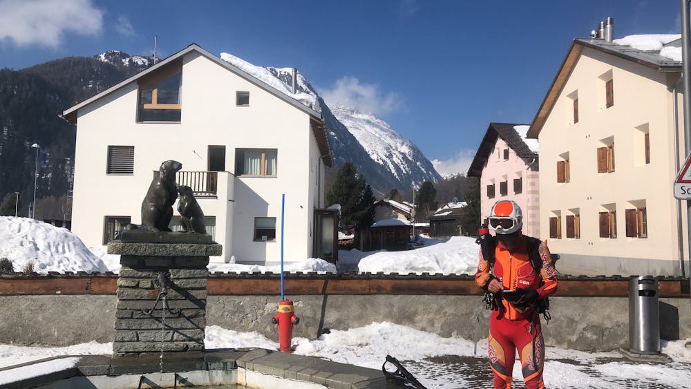
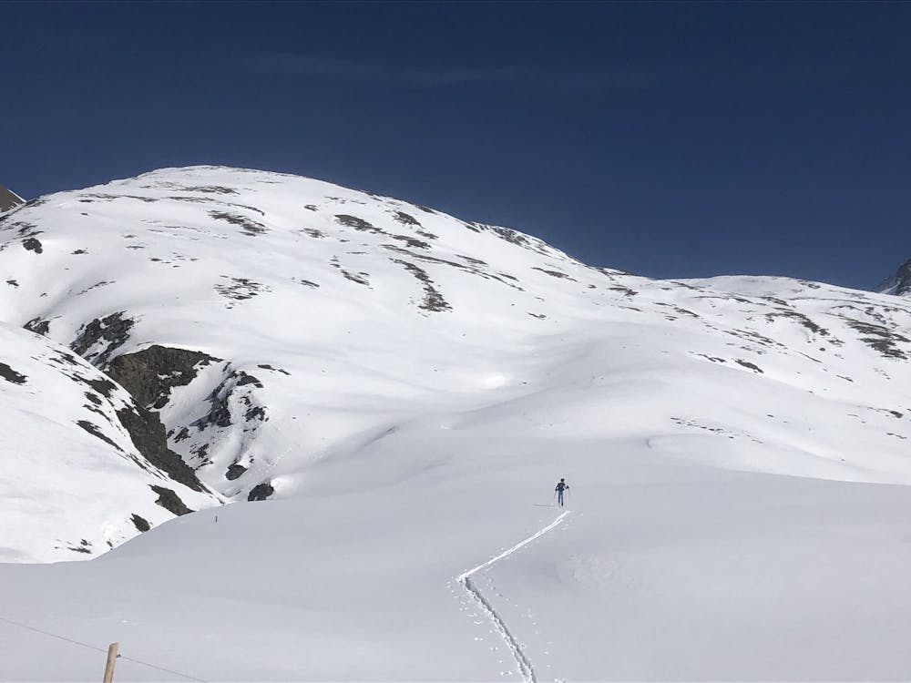
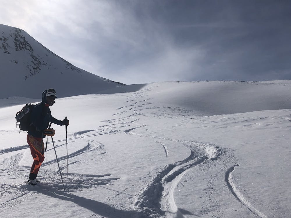
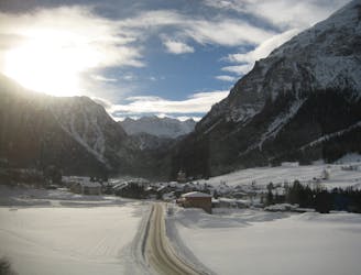
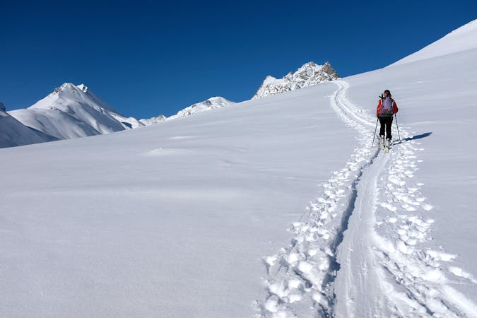
We resupplied at the shop in the Swiss village of Bever. This part of the Engadine regularly records some excessively low temperatures but we were blessed with only cool and sunny conditions. Fast progress followed, on flat cross country ski tracks to Chamues-ch. Or so we thought, until we saw someone much older than even me effortlessly overtaking us, admittedly on proper XC equipment. We headed SE up the Ova Chamuera valley without difficulty, finally to the Fuorcla Lavirun at 2814m on the Swiss border. A rapid descent to Livigno seemed quick and easy, unlike the unwelcome walk to the very far end of the village. Bens toes were giving him grief- the cheap doss couldn't come soon enough
Moderate
Slopes become slightly steeper at around 25-30 degrees.

As well as the slope itself, there are some obstacles (such as rock outcrops) which could aggravate injury.

Little chance of being seen or helped in case of an accident.
26 m away
A crucial exposed rising traverse early on, followed by mellow terrain and an amazing 1500m descent
Difficult Ski Touring
6.5 km away
An ideal introductory day, with one long slow climb and a N facing descent
Moderate Ski Touring
6 routes · Ski Touring