3.1 km away
Bormio 3000 – Laghi di Profi – Bormio 2000

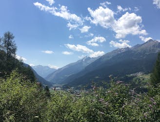
For high altitude training head up the Cima Bianca (3020m) on the Bormio 2000 and 3000.
Difficult Trail Running
- Distance
- 15 km
- Ascent
- 265 m
- Descent
- 1.3 km
A varied run starting in a barren rocky landscape, descending through a shady forest and finishing in the elegant medieval town of Bormio.
Trail Running Moderate

If you're done with uphill but still want the mountain views and altitude training, this downhill route through a shady forest is a good option.
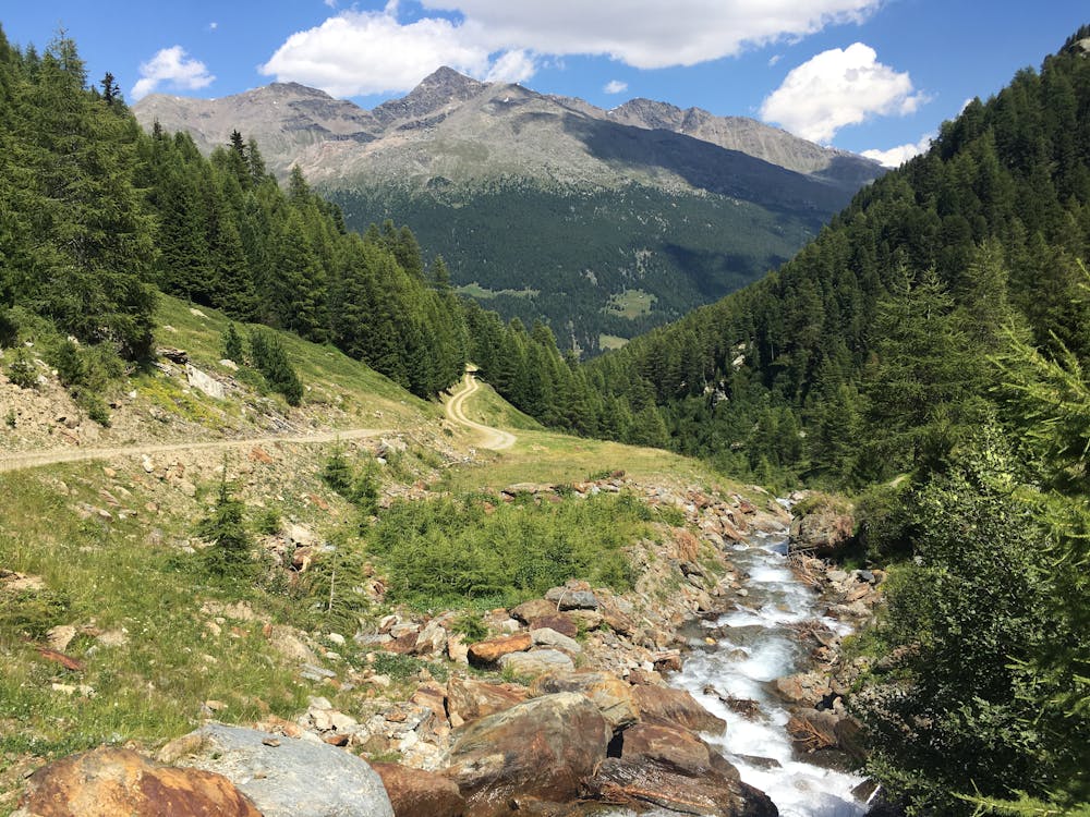
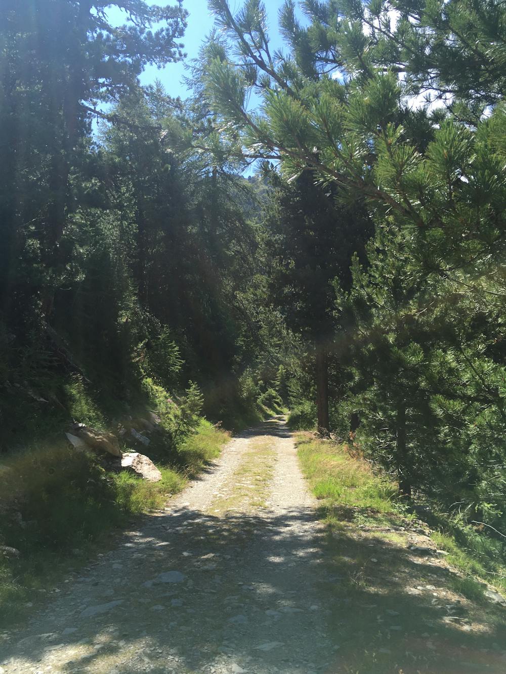
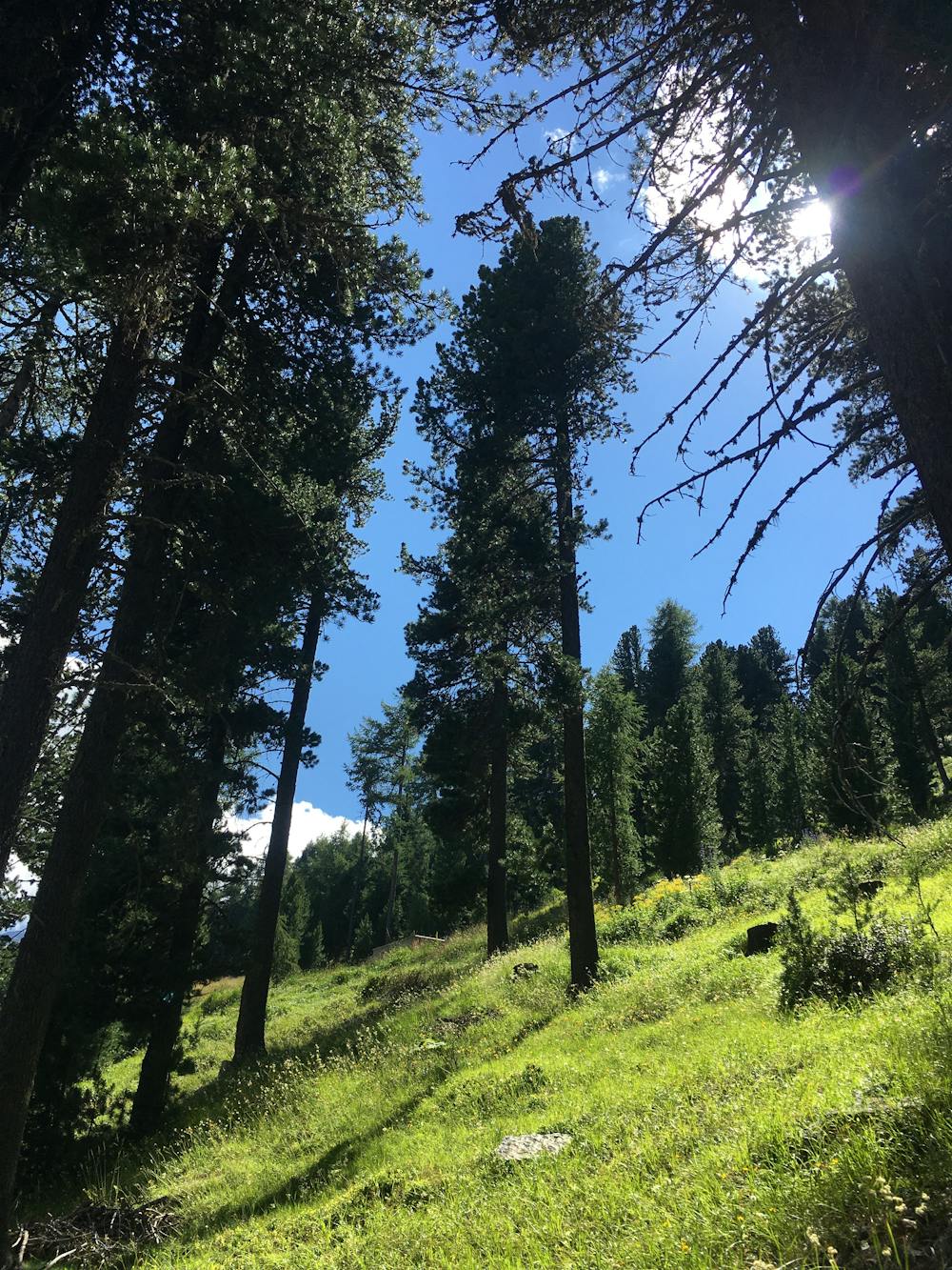
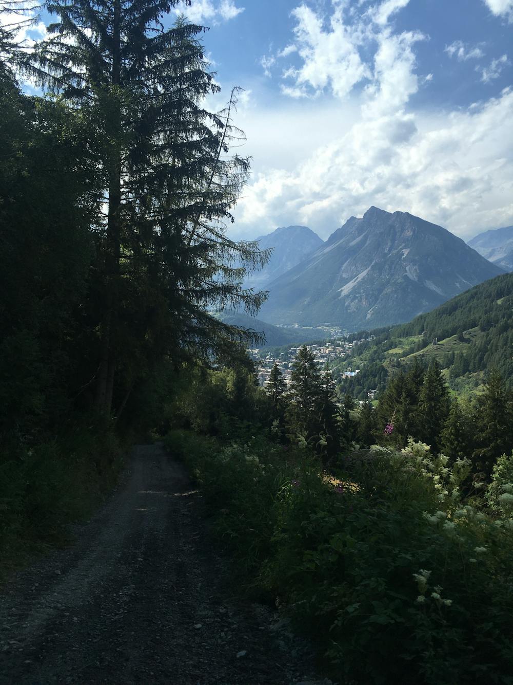
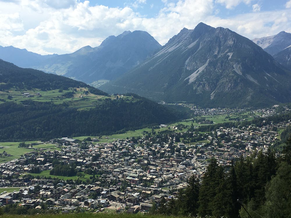
Start by heading up the Cima Bianca on the Bormio 2000. From the lift station, follow the S543 to La Rocca. Here you need to switch onto the S542 to Sobrettina before descending through a red spruce forest to Monti di Sobretta di Sotto. At this point, the trail flattens out, and patches of clearing open up to give you panoramic views of the Valfurva. Pass through San Pietro, and from Campolungo take the S540 down to Feleit and on to Bormio. The trail switches it up between rocky singletrack, gravel paths, and dirt roads.
Once you reach the narrow, winding cobbled streets of Bormio you may want to treat yourself with a delicious Italian ice cream. Head to Aquolina Pasticceria Gelateria.
Moderate

The trail contains some obstacles such as outcroppings and rock which could cause injury.
Away from help but easily accessed.
3.1 km away
For high altitude training head up the Cima Bianca (3020m) on the Bormio 2000 and 3000.
Difficult Trail Running
4.9 km away
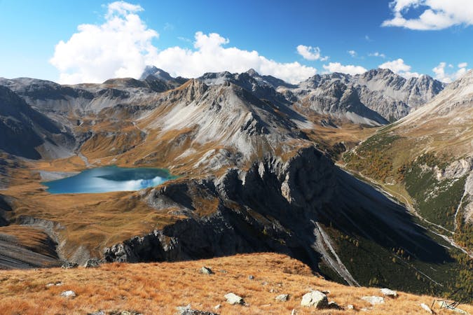
A scenic run through a beautiful larch forest and up to a great lookout point.
Difficult Trail Running
3 routes · Trail Running