Cisk
Folgaria-Lavarone
Trentino-Alto Adige
Freeride Skiing Easy
- Distance
- 58 m
- Ascent
- 0 m
- Descent
- 3 m
- Low Point
- 1.2 km
- High Point
- 1.2 km
- Gradient
- 3˚
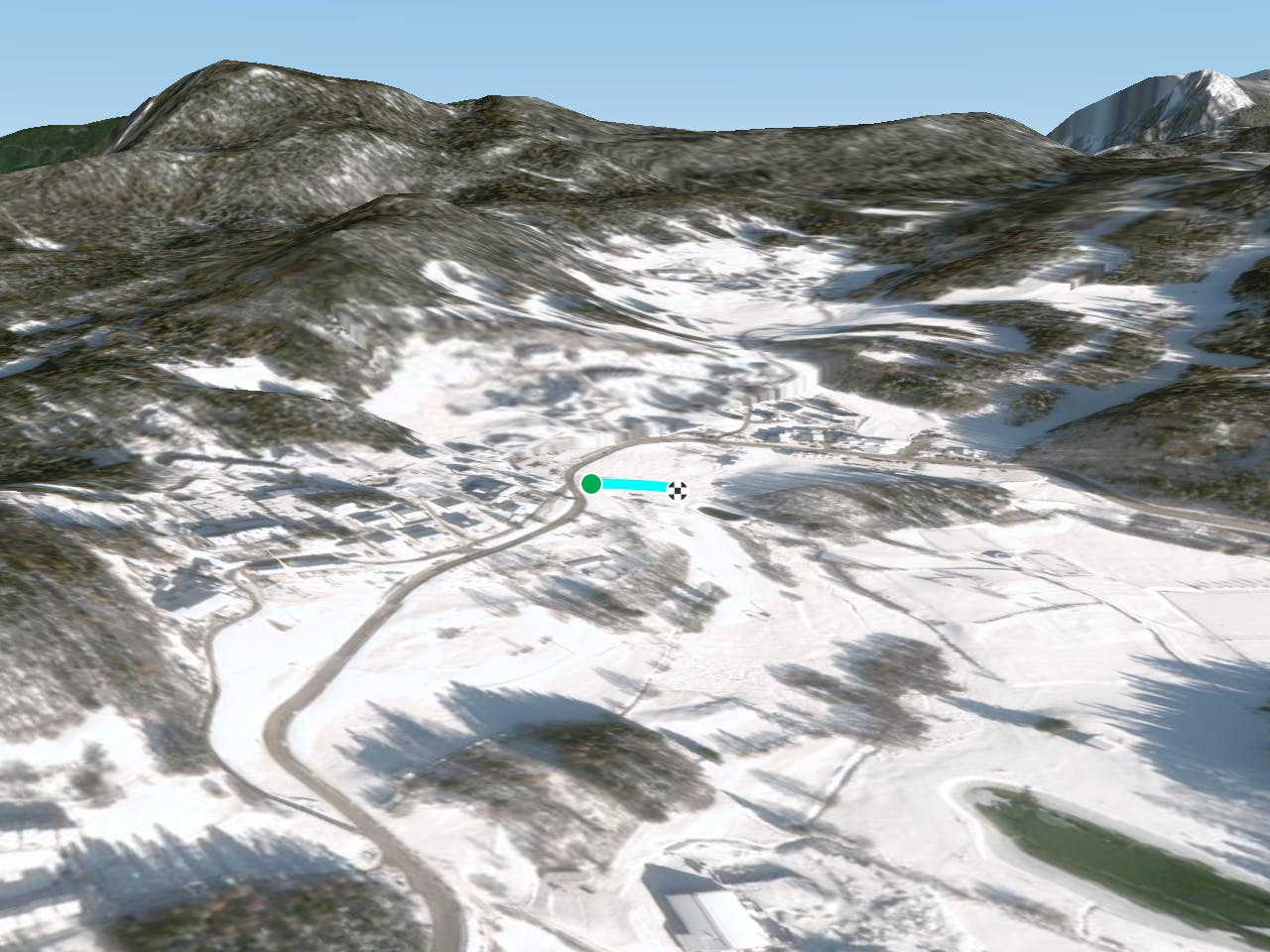
This is a popular freeride skiing route which is generally considered to be easy. It's an unknown remoteness, it features unknown exposure and is typically done in an unknown time of year. From a low point of 1.2 km to the maximum altitude of 1.2 km, the route covers 58 m, 0 vertical metres of ascent and 3 vertical metres of descent.
Description
Difficulty
Easy
Wide gentle slopes at around 20 degrees or less.