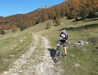
Sentiero del Drago - Lago di Lavarone
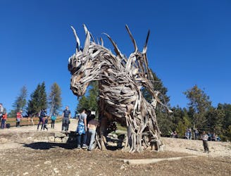
Sull’Alpe Cimbra per incontrare il Drago di Vaia. Il Drago Alato di Magré, si trova nella frazione del comune di Lavarone, nell'Alpe Cimbra. Si tratta del Drago in legno più grande del mondo. Mesi di lavoro, 3.000 viti e 2.000 scarti di arbusti.
Easy Hiking
- Distance
- 10 km
- Ascent
- 351 m
- Descent
- 352 m