266 m away
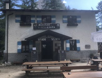
Pradèl - Rif. Selvata - Molveno
A trek for everyone to taste the Brenta Dolomites!
Moderate Hiking
- Distance
- 12 km
- Ascent
- 668 m
- Descent
- 1.1 km
by Andrea Goller
Hiking Moderate

This is a popular hiking route which is generally considered to be moderate. It's not remote, it features medium exposure and is typically done in an unknown time of year. From a low point of 804 m to the maximum altitude of 1.8 km, the route covers 16 km, 1125 vertical metres of ascent and 1579 vertical metres of descent.
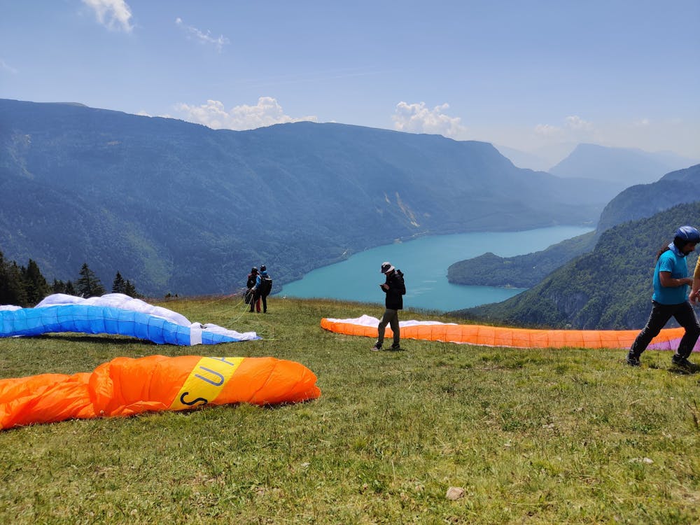
Beautiful hiking around Molveno Lake
Moderate
Hiking along trails with some uneven terrain and small hills. Small rocks and roots may be present.

The trail contains some obstacles such as outcroppings and rock which could cause injury.

Close to help in case of emergency.
266 m away
A trek for everyone to taste the Brenta Dolomites!
Moderate Hiking