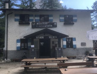
158 m away
Pradèl - Rif. Selvata - Molveno
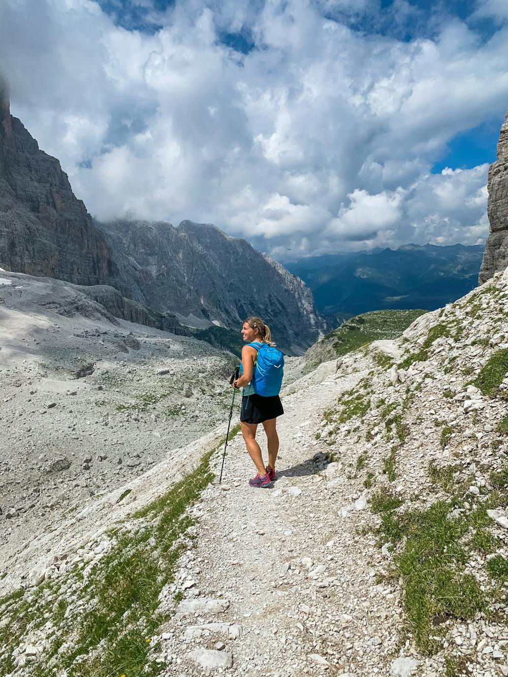
A trek for everyone to taste the Brenta Dolomites!
Moderate Hiking
- Distance
- 12 km
- Ascent
- 668 m
- Descent
- 1.1 km
By Bortolameotti
Hiking Difficult

This is a popular hiking route which is generally considered to be difficult. It's an unknown remoteness, it features unknown exposure and is typically done in an unknown time of year. From a low point of 1.3 km to the maximum altitude of 2.6 km, the route covers 19 km, 1884 vertical metres of ascent and 1737 vertical metres of descent.
Traversata del Brenta da Molveno a Madonna di Campiglio, passando per il Rifugio Croz dell'Altissimo, Rifugio Pedrotti, Rifugio Brentei e Casinei.
Difficult
Hiking trails where obstacles such as rocks or roots are prevalent. Some obstacles can require care to step over or around. At times, the trail can be worn and eroded. The grade of the trail is generally quite steep, and can often lead to strenuous hiking.
158 m away
A trek for everyone to taste the Brenta Dolomites!
Moderate Hiking