376 m away
Val Gelada / Bocchetta Dei Tre Sassi
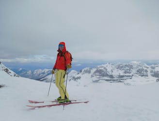
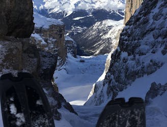
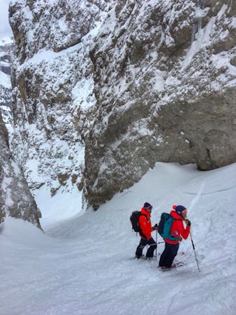
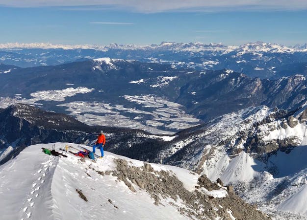
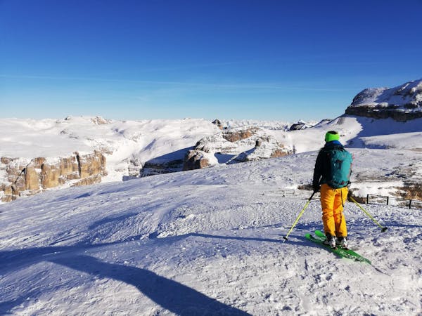
A classic tour to a wild hanging col
Difficult Ski Touring
- Distance
- 10 km
- Ascent
- 1.1 km
- Descent
- 1.1 km
traccia tranquilla appena fuori dalle piste
Ski Touring Moderate

This is a popular ski touring route which is generally considered to be moderate. It's not remote, it features low exposure (e1) and is typically done between December and March. From a low point of 1.6 km to the maximum altitude of 2.4 km, the route covers 7.1 km, 797 vertical metres of ascent and 12 vertical metres of descent. You'll need skins and crampons to complete it safely.
traccia abbastanza frequentata da scialpinisti di vario livello, alla portata di tutti, utile come allenamento in ambiente sicuro lato piste
Moderate
Slopes become slightly steeper at around 25-30 degrees.

Exposure is limited to that of the slope itself. Getting hurt is still likely if the slope is steep and/or the snow is hard.
Close to help in case of emergency.
376 m away
A classic tour to a wild hanging col
Difficult Ski Touring
5.5 km away
A short tour in the Brenta Dolomites.
Moderate Ski Touring
7 routes · Freeride Skiing · Ski Touring
2 routes · Ski Touring
6 routes · Ski Touring