

7 km away
Approach to the Vittorio Emanuele Hut, 2735m
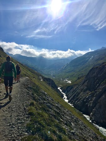
A steep walk through a larch forest to the largest mountain hut in the area, serving the Gran Paradiso
Difficult Hiking
- Distance
- 5.1 km
- Ascent
- 765 m
- Descent
- 0 m
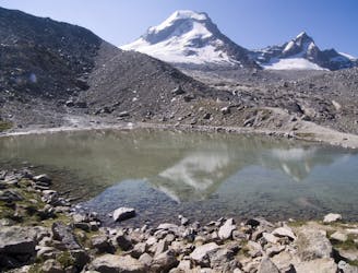
Amazing hiking path reaching lots of alpine lakes.
Hiking Difficult

Beautiful path from Lake Losere to Colle della Terra and Lake Lillet on the ancient route used by Savoy Kings when they would hunt; this part of the path is relatively easy. The way back touches a lot of alpine lakes, however a real path is not present, so a bit of experience is required because the track goes through zones full of rocks.
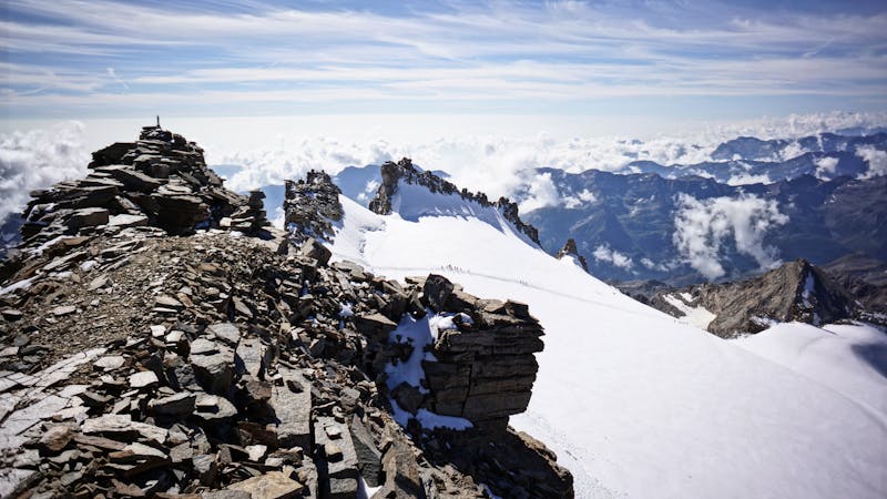
Difficult
Hiking trails where obstacles such as rocks or roots are prevalent. Some obstacles can require care to step over or around. At times, the trail can be worn and eroded. The grade of the trail is generally quite steep, and can often lead to strenuous hiking.

The trail contains some obstacles such as outcroppings and rock which could cause injury.
Away from help but easily accessed.
7 km away
A steep walk through a larch forest to the largest mountain hut in the area, serving the Gran Paradiso
Difficult Hiking
8.9 km away
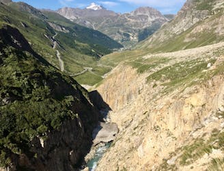
Alternative Col hike from Vallon du Prariond
Moderate Hiking
8.9 km away
A medium length hike through gorges past grazing animals and leading towards a Col at 2957m.
Moderate Hiking
9.4 km away
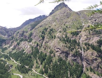
A well made path through beautiful larch forest to a stunning hut
Difficult Hiking
8 routes · Hiking
6 routes · Alpine Climbing · Hiking

14 routes · Hiking

9 routes · Alpine Climbing · Hiking