9.6 km away
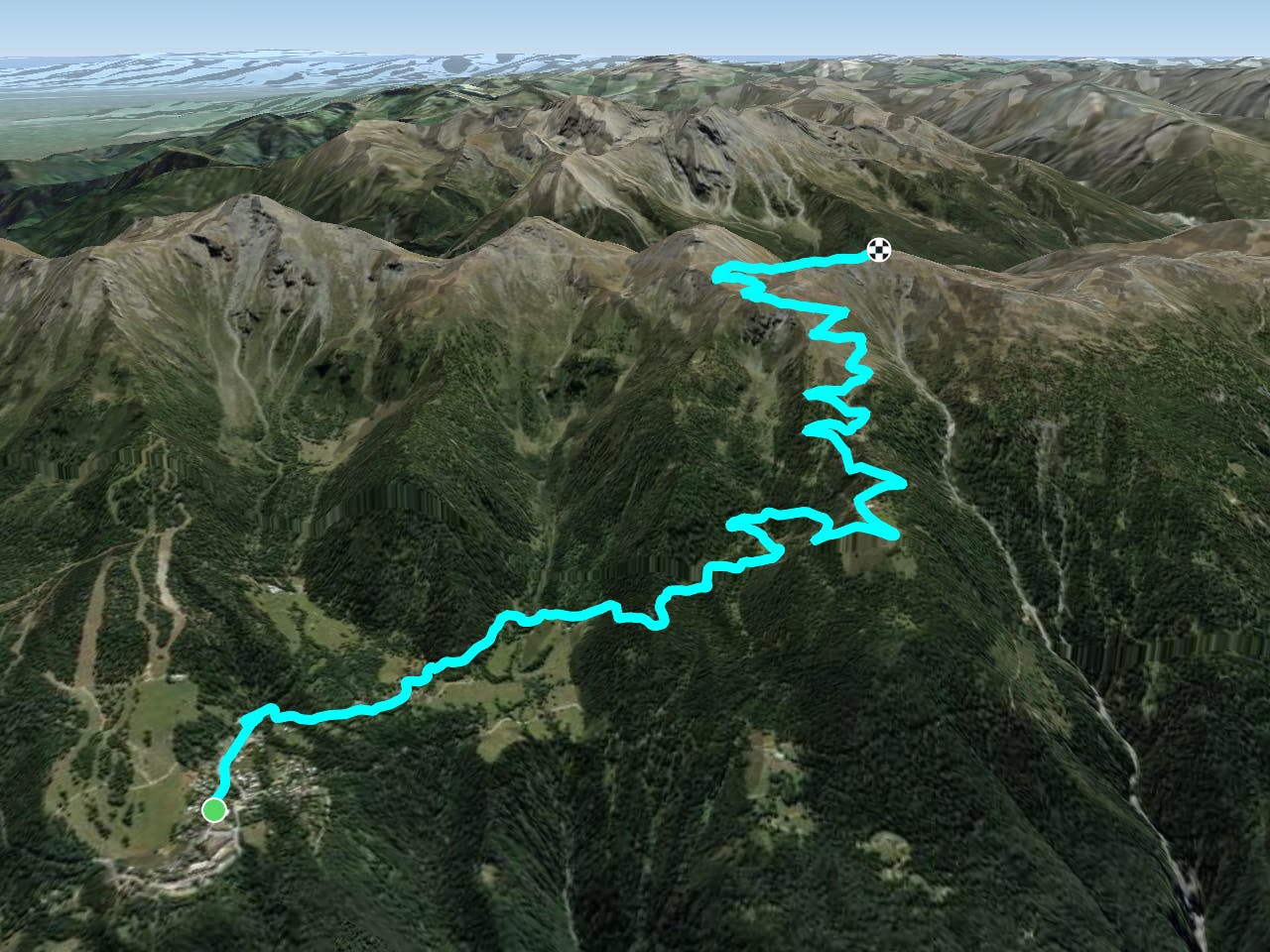
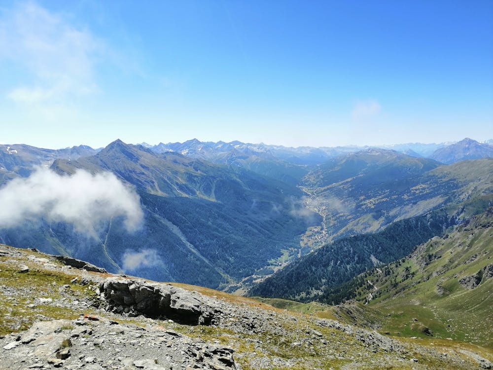
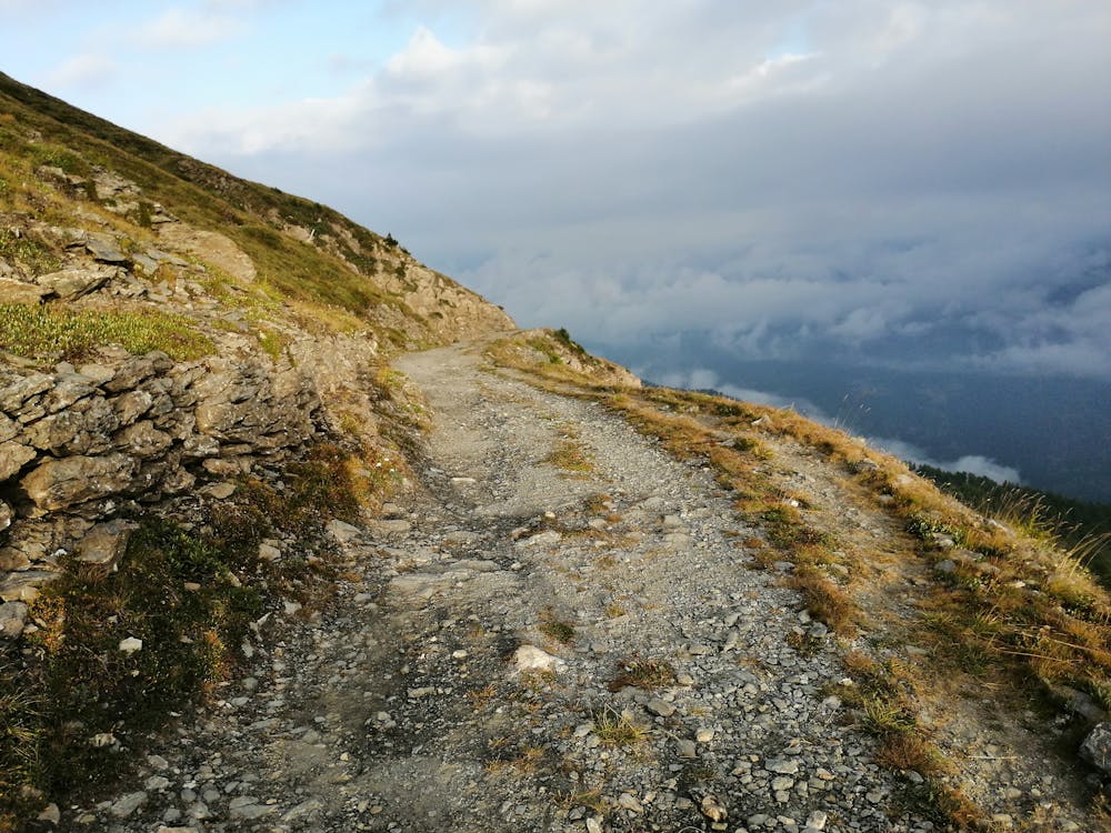
Alpe Toglie to Susa
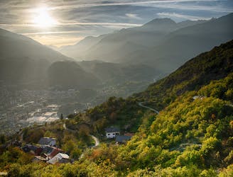
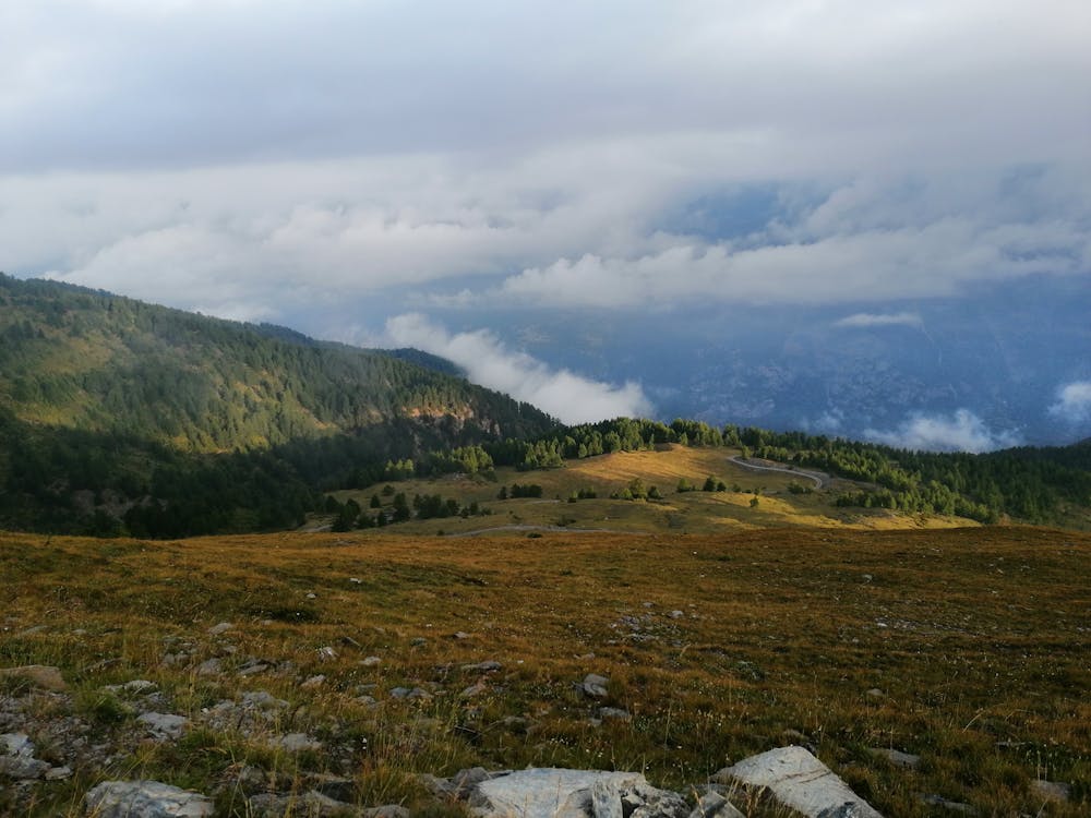
Day 23 of the Grande Traversate delle Alpi (GTA), the famous long-distance hiking trail across the Italian Alps.
Moderate Hiking
- Distance
- 8.8 km
- Ascent
- 107 m
- Descent
- 1 km
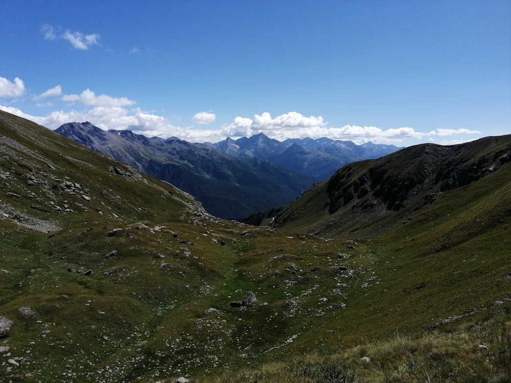
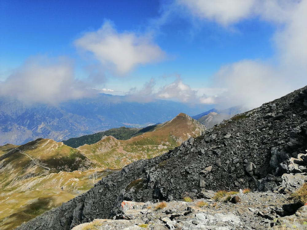
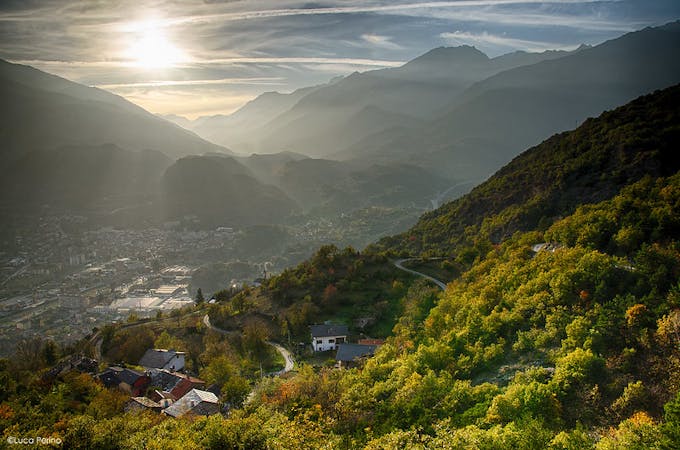
Dal bosco alla pietraia
Hiking Moderate
This is a popular hiking route which is generally considered to be moderate. It's very remote, it features medium exposure and is typically done between May and September. From a low point of 1.5 km to the maximum altitude of 2.6 km, the route covers 10 km, 1146 vertical metres of ascent and 17 vertical metres of descent.
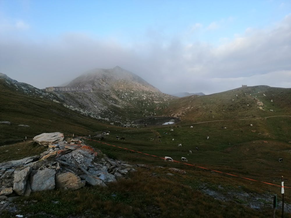
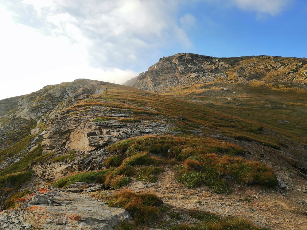
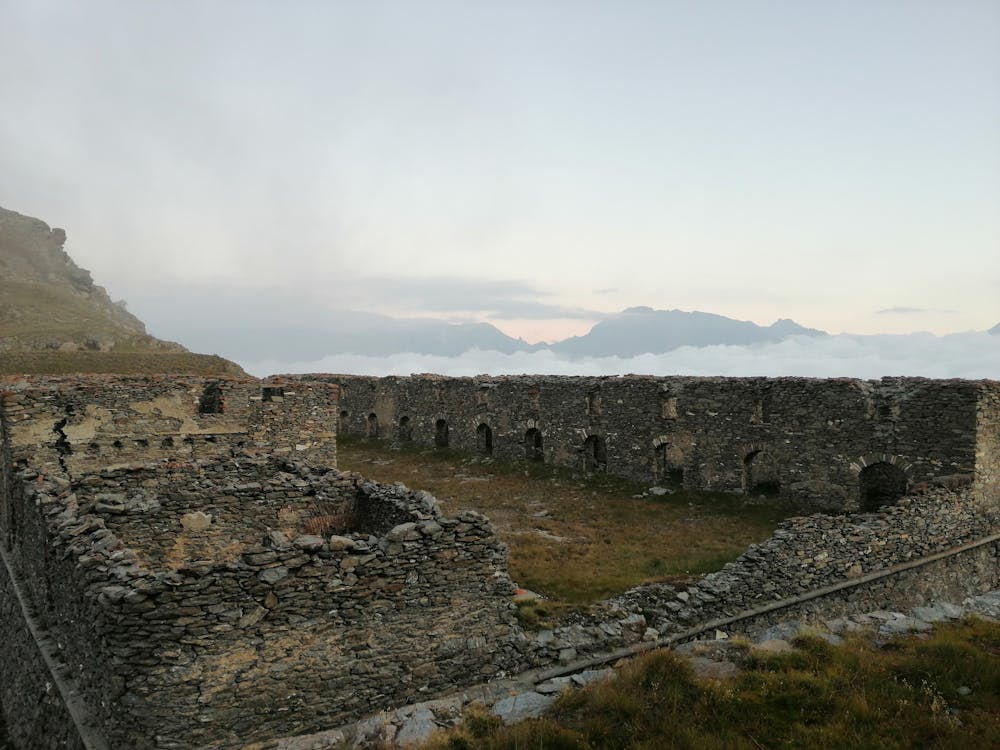
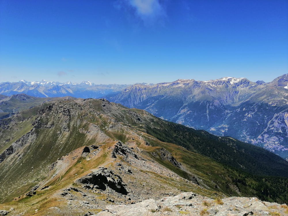
Percorso con partenza dal Pian del Frais e arrivo al Gran Serin passando per l'Arguel. Una volta giunti a destinazione si potranno ammirare i fortini risalenti alla prima guerra mondiale. L'unico punto acqua disponibile una volta usciti dal Frais è la fontana dell'Arguel.
Moderate
Hiking along trails with some uneven terrain and small hills. Small rocks and roots may be present.

The trail contains some obstacles such as outcroppings and rock which could cause injury.

Little chance of being seen or helped in case of an accident.
9.6 km away
Day 23 of the Grande Traversate delle Alpi (GTA), the famous long-distance hiking trail across the Italian Alps.
Moderate Hiking
5 routes · Hiking