5.5 km away
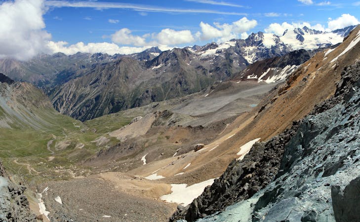
Western Transalp: Susa to Usseglio
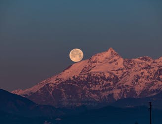
The first leg of the incredible 6-day crossing of the Western Alps.
Difficult Mountain Biking
- Distance
- 30 km
- Ascent
- 2.2 km
- Descent
- 1.4 km
La mulattiera scorrevole
Mountain Biking Difficult

This is a popular mountain biking route which is generally considered to be difficult. It's remote, it features low exposure and is typically done between February and November. From a low point of 783 m to the maximum altitude of 1.2 km, the route covers 2.8 km, 13 vertical metres of ascent and 383 vertical metres of descent.

Sempre nel bosco ceduo di faggio e castagno il sentiero dopo una prima parta più confortevole si trasforma in un affascinante serpentone tra rocce e droppini
Difficult
Mostly stable trail tread with some variability featuring larger and more unavoidable obstacles that may include, but not be limited to: bigger stones, roots, steps, and narrow curves. Compared to lower intermediate, technical difficulty is more advanced and grades of slopes are steeper. Ideal for upper intermediate riders.

The path is on completely flat land and potential injury is limited to falling over.

Away from help but easily accessed.
5.5 km away
The first leg of the incredible 6-day crossing of the Western Alps.
Difficult Mountain Biking
6 routes · Mountain Biking